Paso
Karakeche (paso)
- Place type
- Paso
- Elevation
- 3364 m
Field notes
The field account
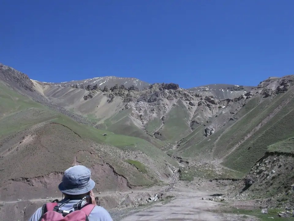
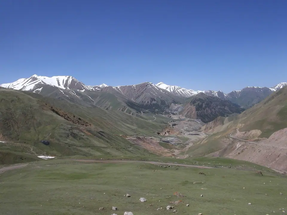
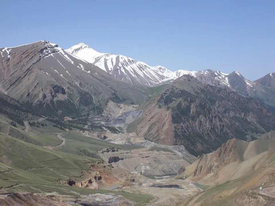
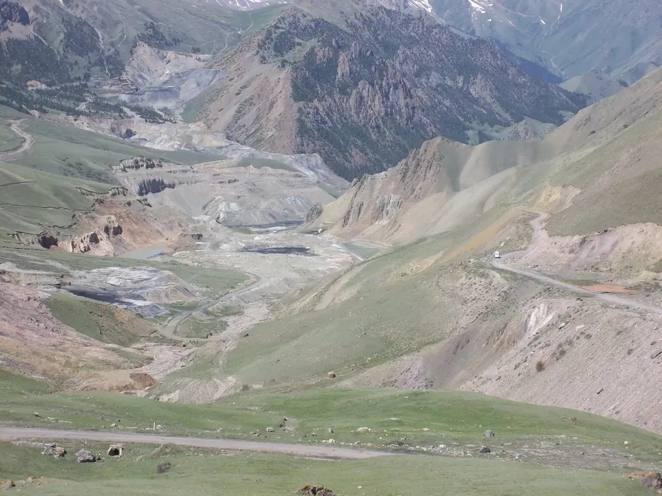
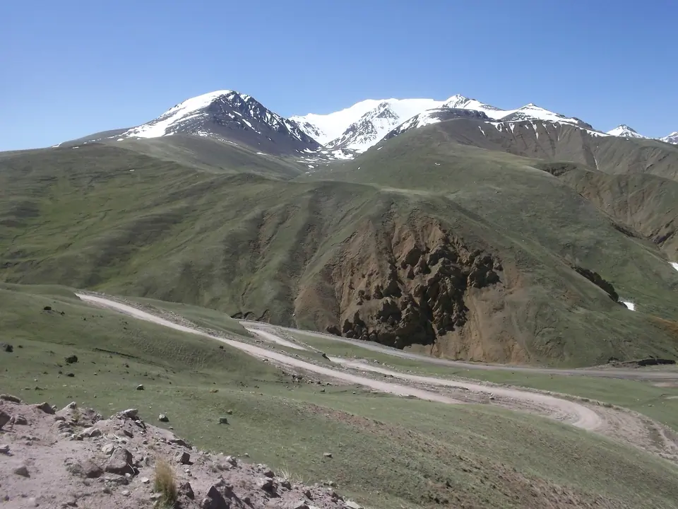
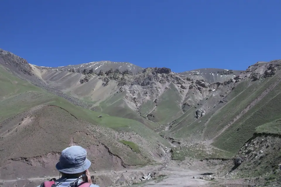
Paso que une el valle de Jumgal con el lago Song Kul, el paso más accesible en coche. Vista panorámica sobre el lago Song Kul y la mina de carbón abierta del desfiladero de Karakeche.
Map margin
Where it sits
Visual field notes
Una mirada más cercana