Pico
Chaîne de Kunguey Alatoo
- Place type
- Pico
- Elevation
- 4771 m
Field notes
The field account
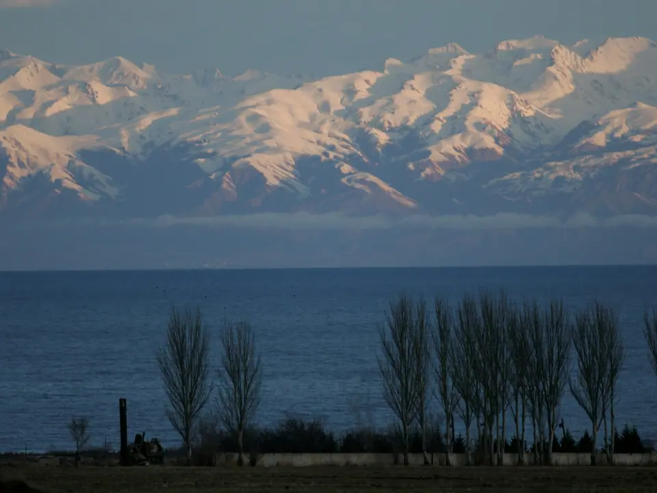
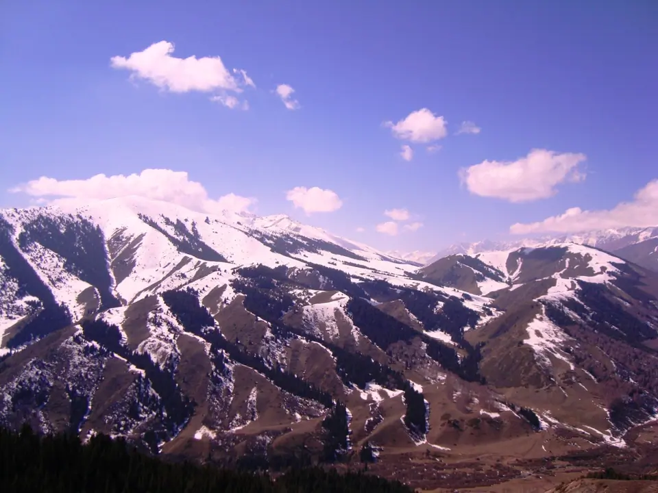
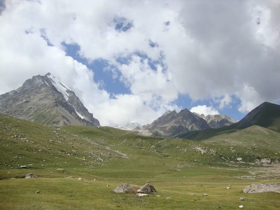
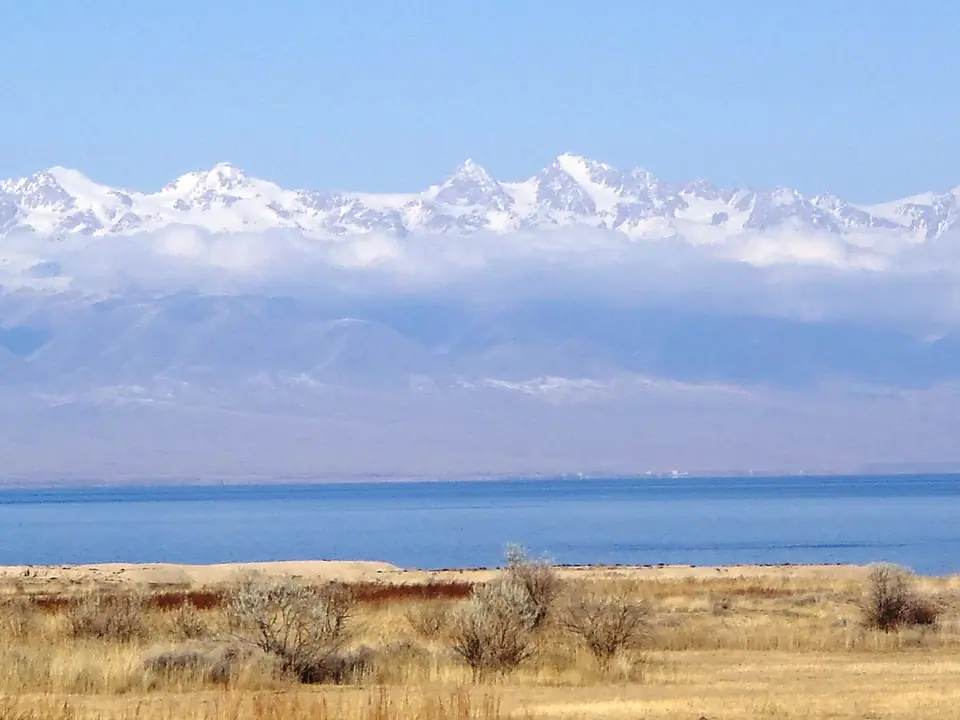
The Kunguey Alatoo (Kungeï) is the range on the North of the Issyk Kul lake marking the border between Kyrgyzstan and Kazakhstan. The range is 280 km long for about 35 km width. The highest peak is the Choktal peak and culmines at 4771 meter altitude.
Map margin
Where it sits
Visual field notes
Una mirada más cercana