Curiosidade
Kumtor (valley)
- Place type
- Curiosidade
- Elevation
- 3600 m
- Community
- Barskoon
- Apaisado
- Highland & Peaks
Field notes
The field account
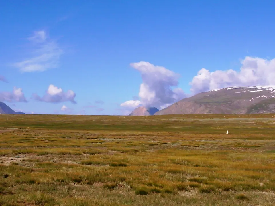
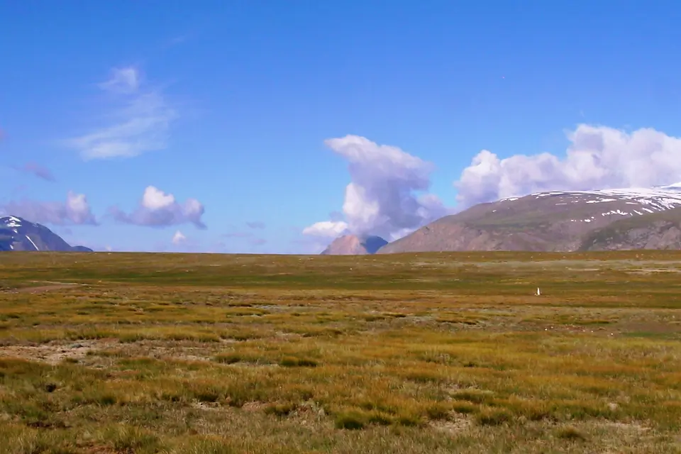
The waters of the river Kumtor come from melting glaciers in the northwest of the mountain range Ak-Shirak. It loses its name as soon as it meets the river Arabel Suu and takes the new name Taragay.
Map margin
Where it sits
Visual field notes
Una mirada más cercana