Región de Osh

Kulunatin reserve

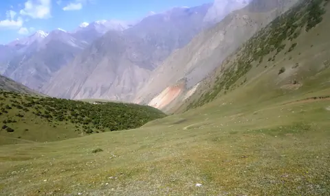
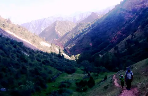
Kulunatin national reserve is located in the Kashura Too range in Osh region. It covers the territory of Ferghana range and was established in 2004 and covers about 27 thousand hectares. The Kulun (Kulung) lake is the pearl of the reserve. Landscape and biodiversity are remarkable. 

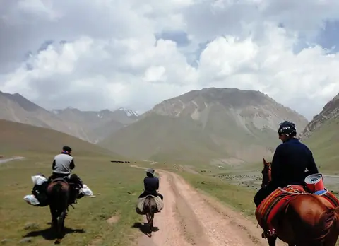
We organize different routes around this region. If you have more questions, please feel free to contact our manager.

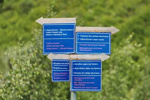
Kara-Shoro (parc national)

El Parque Nacional Natural Estatal Kara-Shoro es un parque en Kirguistán creado en agosto de 1996 de 14.340,2 hectáreas. El objetivo del parque es la conservación del biotopo natural, incluyendo formaciones geológicas, regímenes hidrológicos, flora y fauna y especies en peligro de extinción. El río Kara-Shoro (Yassy o Jassy) cruza la parte central del parque.

Imagen
Gulsho
Height
2248
Width
4000

Gulcha o Gulcho es un pueblo importante en la carretera M41, entre la ciudad de Osh y el pueblo de Sary-Tash. Gulcha es la capital del distrito de Alay.

Geo

Alay (vallée)

Imagen
Alay valley
Height
912
Width
1480

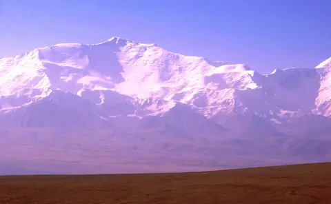
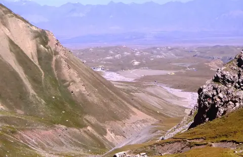
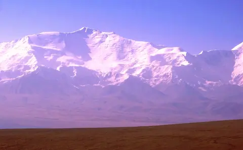
The Alay valley is bordering Tajikistan on the South of Kyrgyzstan. The river name Kyzyl Suu or the "red river" and flew into Tajikistan. It's part of the Kyrgyz Pamir or named also Pamir Alay. The valley is wellknown for large flocks of yacks but also for its wellknow peak named "Lenin". Gulsho is its administrative center, and Sary Mogol village is one of largest village of the valley. In winter, life conditions are particulary difficult.

Ak–Bura valley

Ak-Bura es un valle muy largo que se eleva en la cordillera de Kitchi Alay. La ciudad de Osh fue fundada en el fondo del valle. La cuenca muy importante llena la presa de Papan. Una de las vistas del valle son las Montañas Rojas alrededor del pueblo de Kodjo-Kelen.