Col
Kyzyl-Bel
- Type de lieu
- Col
- Altitude
- 2624 m
Notes de terrain
Récit de terrain
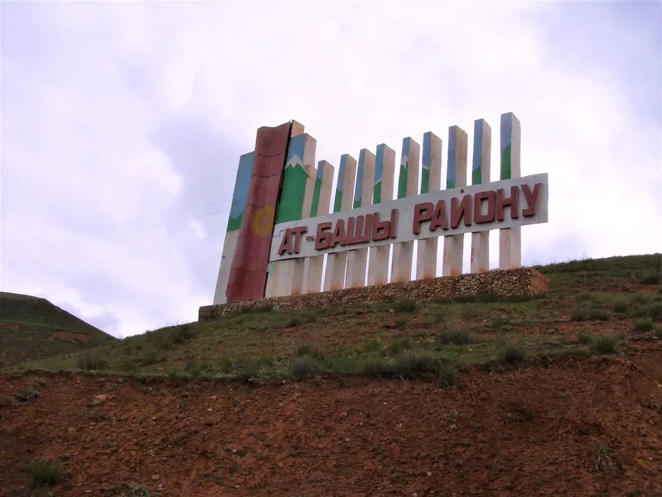
Kyzyl Bel pass (2484 m). In translation – the Red pass. Is in 24 km to the south of Naryn, on the way to Torugart. From the pass excellent opens it is visible the valley and a crest of At-Bashi in the east
Repères cartographiques
Situation géographique
Répertoire géographique
Dans ce lieu
1 destination dans le catalogue
Sites et espaces naturels
-
Poste frontière d'Isfara - Batken : Kyzyl Bel
Poste Frontière · 936 m
Notes visuelles de terrain
En images