Village
Ak-Shyyrak
- Territory type
- Village
- Community
- Ak-Shyyrak
- Paysage
- Highland & Peaks
Territory notes
The field account
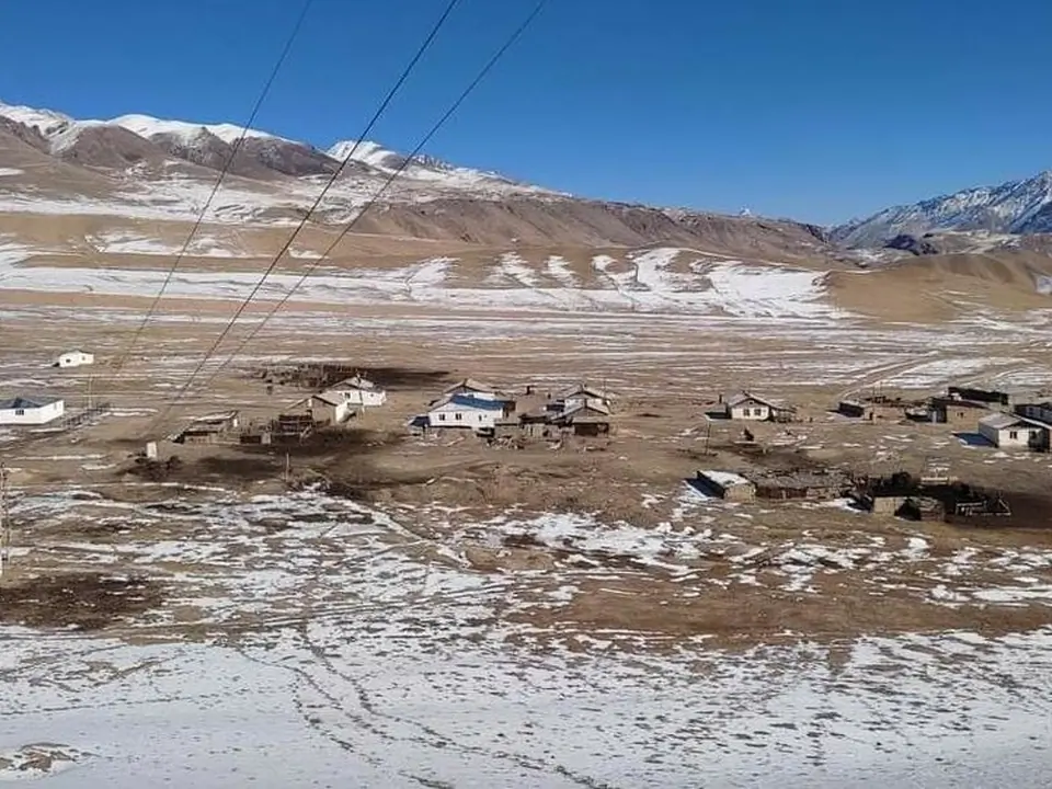
Le village d'Ak-Shyirak est situé à 230 km du centre du district. Le village est situé à 3200-3500 mètres au-dessus du niveau de la mer. Il se compose de 3 villages : le village d'Uch-Koshkon est le centre du village avec 192 habitants, le village d'Ak-Shyirak avec 68 habitants, le village d'Yshtyk avec 26 habitants et le village de Kara-Sai avec 61 habitants, soit un total de 347 habitants.
L'hiver dans le village d'Ak-Shyirak dure environ 8 à 9 mois. En été, le climat est frais, et il arrive même qu'il neige en été.
Map margin
Where it sits
The map marks an orientation point for this territory; it does not describe its boundary.
Geographic index
Within this territory
7 destinations in the catalogue
Sights and natural places
-
Col de Soek (Arabel-Suu)
Col · 4028 m
-
La mine de Kumtor
Découverte · 3620 m
-
Vallée de Kumtor
Découverte · 3600 m
-
Réserve de Sarychat-Ertash
Site naturel · 3100 m
-
Col d'Ichtik
Col · 3689 m
-
Syrt d'Arabel Suu
Jailoo · 3750 m
-
Ichtyk ancien caravanserail
Site historique · 3330 m
Visual field notes
En images