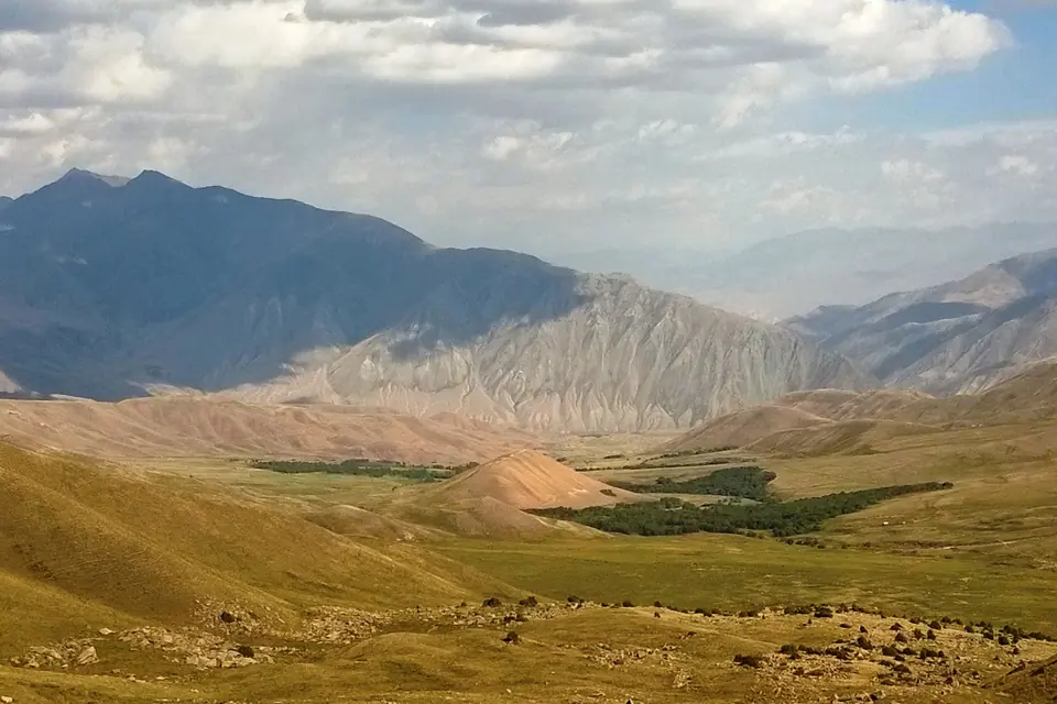
Village
Kyzyl-Oï
- Territory type
- Village
- Elevation
- 1750 m
Territory notes
The field account
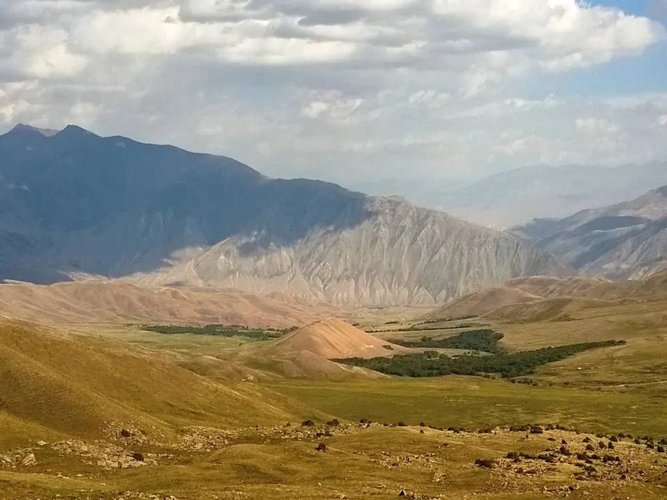
Un petit village au coeur du canyon de la rivière Kekemeren, dans un paysage aux roches rouges. Un bon endroit pour commencer une randonnée à pied ou à cheval vers la vallée Suusamyr.
Map margin
Where it sits
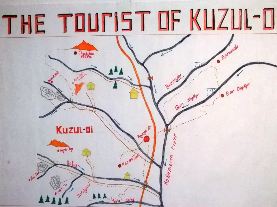
The map marks an orientation point for this territory; it does not describe its boundary.
Geographic index
Within this territory
2 destinations in the catalogue
Sights and natural places
-
Kekemeren rivière
Découverte · 2000 m
-
Canyon de Kurgan Terek (canyon de Konorchek)
Site historique · 1508 m
Visual field notes
En images