Village
Sarytag
- Territory type
- Village
- Elevation
- 2400 m
Territory notes
The field account
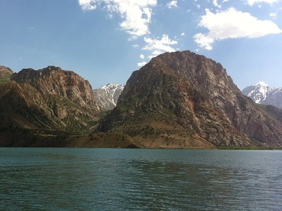
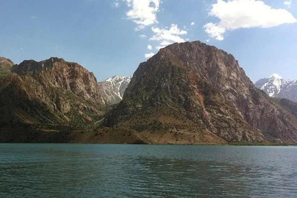
Petit village au-dessus du lac Iskender.
Map margin
Where it sits
The map marks an orientation point for this territory; it does not describe its boundary.
Geographic index
Within this territory
1 destinations in the catalogue
Sights and natural places
-
Lac Iskandarkul
Lac · 2200 m
Visual field notes
En images