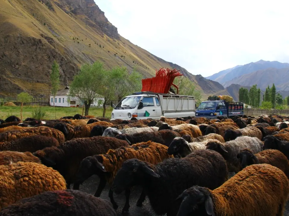
Village
Сары-Таш
- Territory type
- Village
- Elevation
- 3160 m
Territory notes
The field account
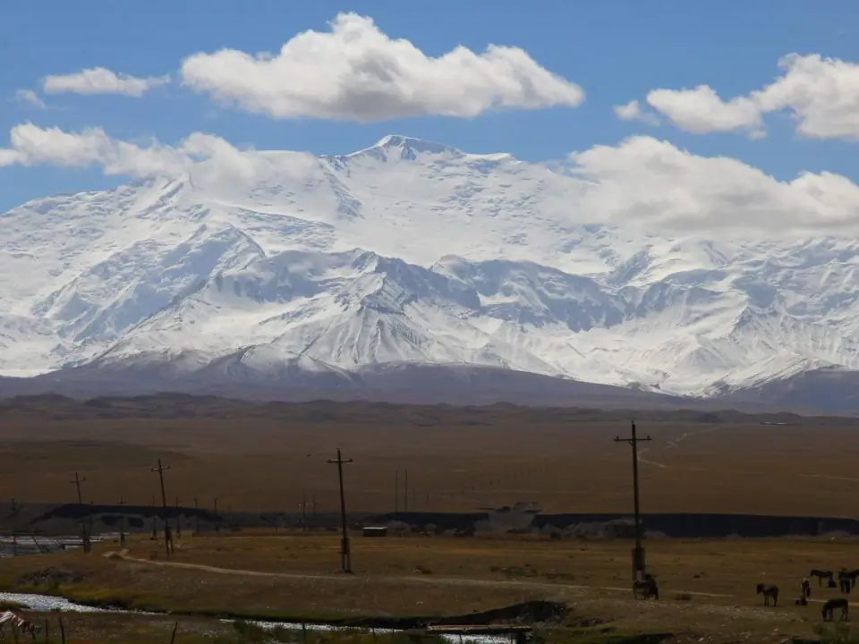
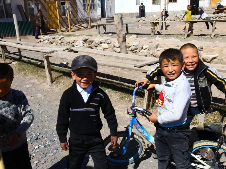
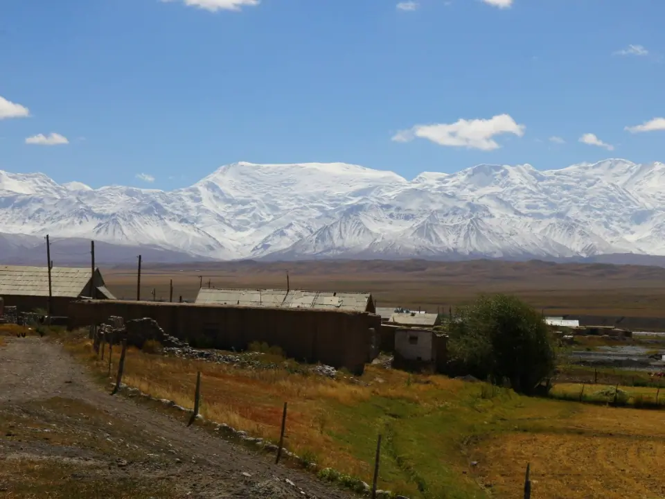
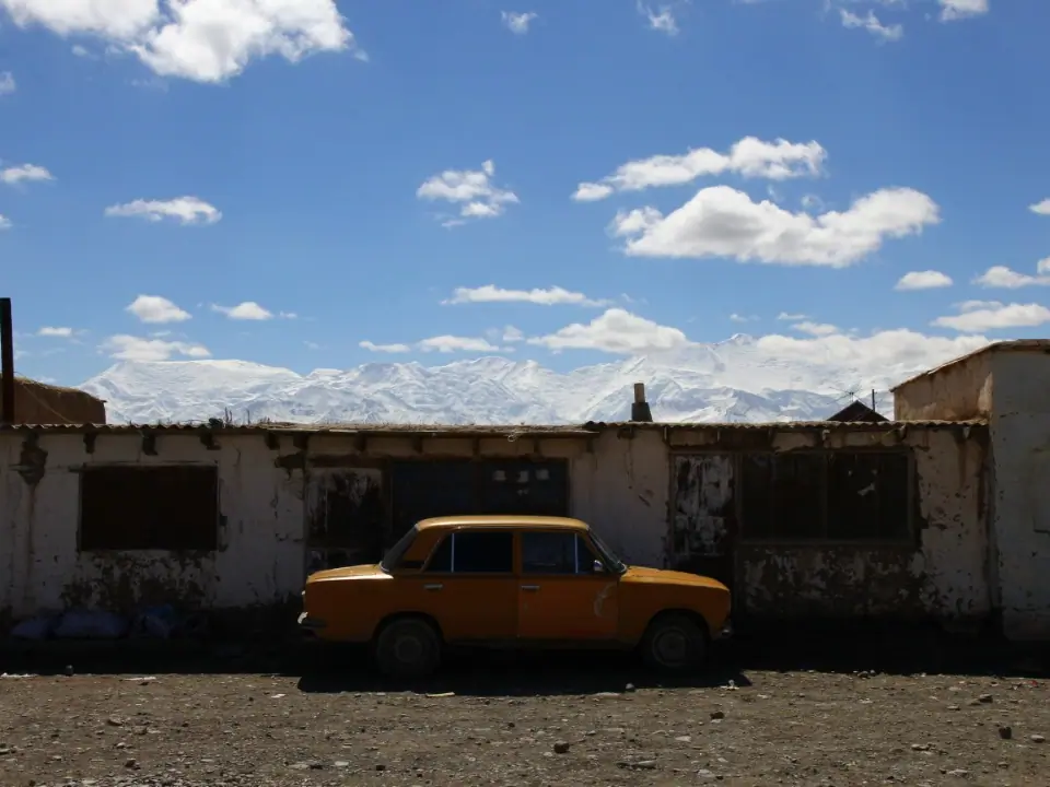
Маленькая деревня, занимающаяся яководством, расположенная на перекрестке Китая с Таджикистаном на трассе M41.
Map margin
Where it sits
The map marks an orientation point for this territory; it does not describe its boundary.
Geographic index
Within this territory
3 destinations in the catalogue
Sights and natural places
-
Талдык перевал
Перевал · 3588 m
-
Кызыл Суу долина
Достопримечательность · 3000 m
-
Алай долина
Достопримечательность · 2900 m
Visual field notes
Рассмотреть поближе