Village
Тамга
- Territory type
- Village
- Elevation
- 1685 m
- Community
- Tamga
- Альбомная
- Shoreline
Territory notes
The field account
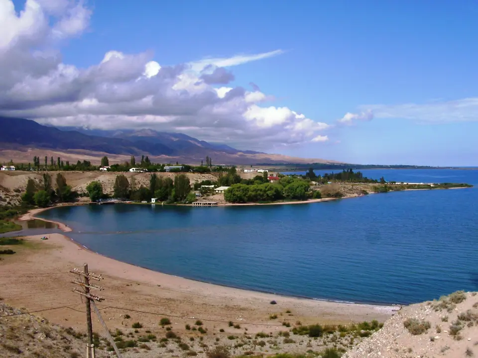
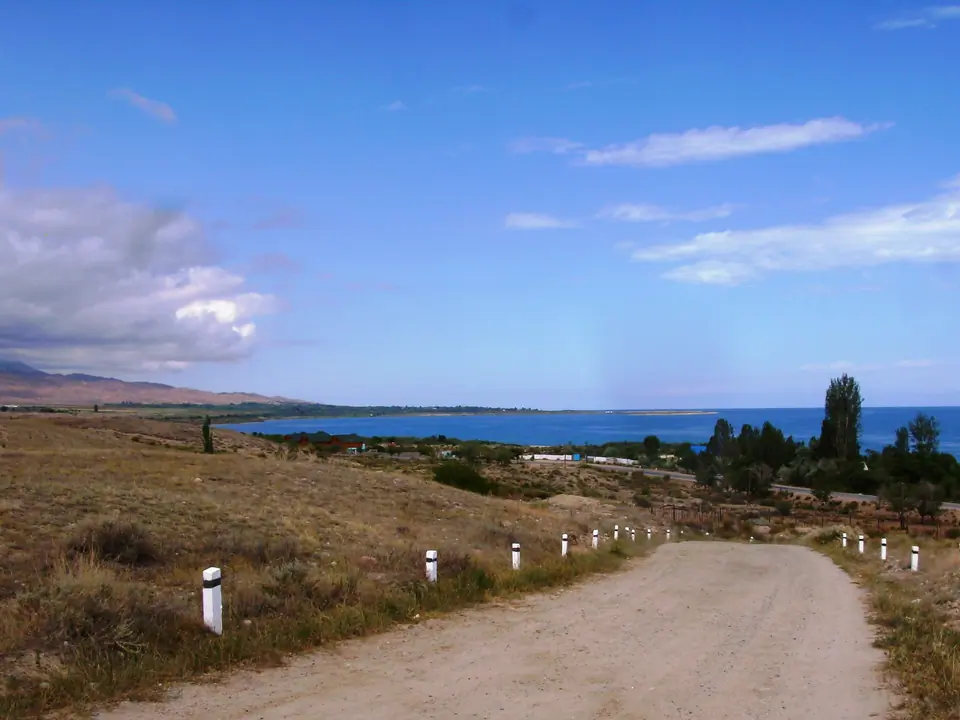
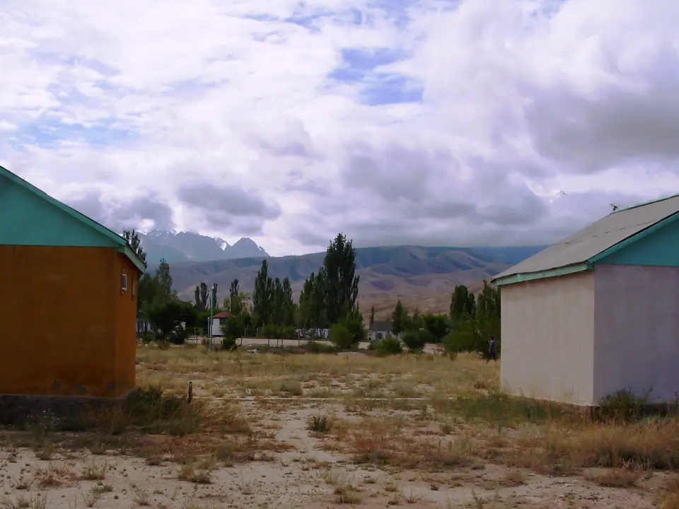
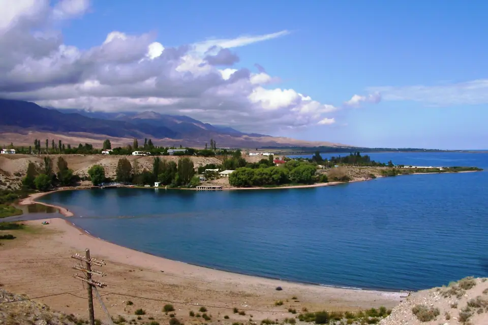
Село Тамга находится на южном берегу озера Иссык-Куль,на расстоянии 315 км от столицы Кыргызстана – Бишкек. Достопримечательности: муниципальный пляж, петроглифы и долина сказок.
Map margin
Where it sits
The map marks an orientation point for this territory; it does not describe its boundary.
Geographic index
Within this territory
2 destinations in the catalogue
Sights and natural places
-
Эко-центр Знаки
Велнес · 1606 m
-
Камни Тамга-Таш
Священное место · 1878 m
Visual field notes
Рассмотреть поближе