Киргизия

Nationality
кыргызский
Adjective
кыргызский
Изображение
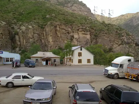
Toktogul gorge
Height
1944
Width
2592

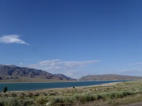
Токтогульский район — район в Джалал-Абадской области Кыргызстана. Административный центр района — посёлок городского типа Токтогул.Токтогульский район расположен в Джалал-Абадской области, на берегу водохранилища Токтогул. На севере от Токтогула, в 250 км находится столица Кыргызстана - Бишкек, на юге в 400 км второй по величине город Кыргызстана - Ош.

Geo
Содержит

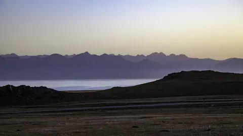
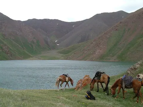
Озеро Сон-Куль

Находясь в окружении суровой красоты киргизского пейзажа, озеро Сон-Куль, также известное как Сон-Куль, выступает в роли квинтэссенции пастбища кочевой жизни. Растянутое на обширные пространства, это высокогорное озеро простирается примерно на 25-35 километров, его кристальные воды отражают лазурное небо над ним. Как пульсирующее сердце кочевого существования, сотни традиционных юрт усыпают пейзаж в летние месяцы, образуя мимолетную деревню, наполненную духом прежних поколений.

Изображение
Ornok
Height
1205
Width
2686

Ornok (Ornek) is a small village on the northern shore of Lake Issyk Kul 18 km from Tamchi and Cholpon Ata. The place has been known for several millennia, the many petroglyphs on the heights of the village are proof of this. You can see the petroglyphs from the side of the road that leads to Chong Kemin Valley.

Geo
Содержит

Манжили-Ата Долина

On the southern shore of Issyk-Kul, one kilometer east of Ton Bay, is the holy place "Manzhaly-Ata". Manzhyly-Ata became famous at the end of the 17th century, in the epic "Manas" he is mentioned as sacred to the Kyrgyz people. Although Manzhaly was the patron saint of nomadic pastors, he was a famous professor of Sufism, who during his lifetime spread Islam among the Kyrgyz nomadic pagans.

Манас пик

Manas Peak is the highest point of the Talas Ala-Too ridge and is located to the west of the chain, 3km north of the border with Uzbekistan. Its height is 4484 m above sea level. It is the highest point of the Archaluu massif. It lies between the Ak-Tashluu Valley in the east and the Kiuriush-Kel Valley in the west. To the east, it is bordered by a glacier 3 km long.

The summit received its name in honor of the great hero told in the epic tale of the same name.

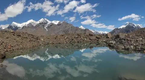
Мерцбахер Озеро

Озеро Мерзбахер — высокогорное озеро, образованное ледником Инельчек, в восточной части центрального Тянь-Шаня, между хребтами Тенгри-Таг и Сары-Джаз. Оно расположено на слиянии северной и южной ветвей ледника Инельчек и питается талыми водами. Объем воды — 0,12–0,25 км³. Площадь — 4,5 км². Высота над уровнем моря — 3304 м.


Нарын Каньон

Изображение
Naryn river
Height
2448
Width
3264

The Naryn River Canyon is located in Jalal Abad Oblast with a length of 85 km. The river flows from Toktogul Lake to the Tashkomur Dam, which is one of the 4 dams in this canyon. The M41 road, from Bishkek to Osh, runs along the river which in Uzbekistan will become the Syr-Darya river.

Изображение
Osh city
Height
1944
Width
2592

Geo
Содержит