Достопримечательность

Path Element
sights

Ак Сай Долина

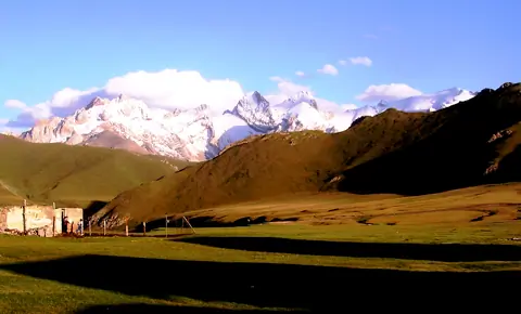
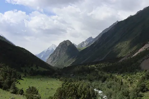
South of the At-Bashi mountain range, lies the upper Ak-Say valley, which stretches for a hundred kilometers, and up to 40 km in width. It is mainly yak breeders who come for the summer season. Some shepherds stay in the winter with their herd of yaks, but the temperatures are harsh and can drop to -40 degrees Celsius in winter.
Чаткал Долина

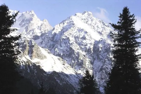
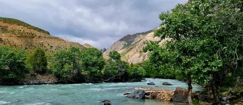
Чаткальская долина следует вдоль одноименной горной цепи, к северо-западу от нее, на протяжении 160 км до впадения в Чарвакскую плотину в Узбекистане. По автодорогам сюда можно добраться только двумя путями: либо через Талас на север и перевал Кара-Бура-Ашуу, расположенный на высоте 3302 м над уровнем моря; либо с юга, через перевал Чапчыма-Ашуу на высоте 2841 м над уровнем моря при въезде из города Кербен.

Столица - село Каныш-Кыя, а нижняя часть долины находится в Беш-Аральском заповеднике.

Боом Ущелье

Изображение
Boom gorge
Height
410
Width
757

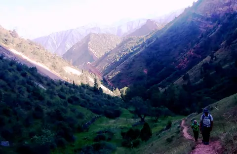
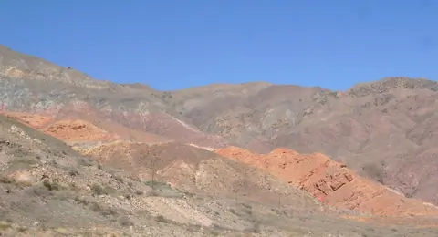
The main main road connects the Oblast of Chuy and that of Issyk Kul by a canyon 40 km long. But this passage was only opened during the expedition led by explorer Pyotr Semionov-Tian-Chanski in 1857. The colors of the rocks are incredible. You can visit several small canyons with red rocks like the Creek canyon.

Абшыр Ата (водопад)

Изображение
Abshir Ata Waterfall
Height
920
Width
1080

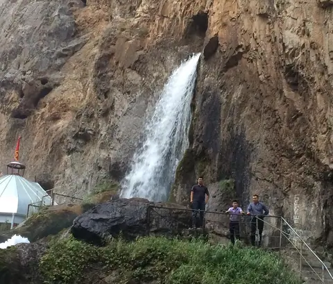
In the Abshir-Say valley, 40 km southwest of the town of Nookat is the unique Abshir-Ata waterfall, 1,800 meters above sea level.

The waterfall is unique because the water escapes from a hole with a diameter of 1.5 m, and its fall has a height of 12 to 15 m from the ground. The water contains mineral salts. It is considered sacred, and so are many local visitors.

According to a legend, once upon a time there was a pilgrim who hit the rock with his stick and milk began to flow from it.

Аламедин ущелье

The Alamedin valley is one of the 2 valleys supplying water to the city of Bishkek. It lies to the east of the Ala Archa valley. It is very popular and owes its development during the Soviet era with the construction of a sanatorium around the mineral hot springs. The valley attracts many walkers, picnickers but also mountaineers because it is surrounded by the highest peaks of Kyrgyz Alatoo, such as the Simeon Tienshansky peak 4875m. alt. and the Alamedin Wall culminated by the Kyrgyzstan peak at 4840 meters.

Алай долина

Изображение
Alay valley
Height
912
Width
1480

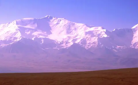
Долина Алай находится на границе с Таджикистаном на юге Кыргызстана. Название реки Кызыл-Суу или "красная река" протекает через в Таджикистан. Часть кыргызского Памира назвавается также Памир Алай. Долина хорошо известна большими стадами яков, также она известна благодря пику "Ленина". Гульчо является его административным центром, а Сары-Могол является одной из крупнейших деревень долины. В зимний период, условия жизни трудны.