Кызыл Суу долина
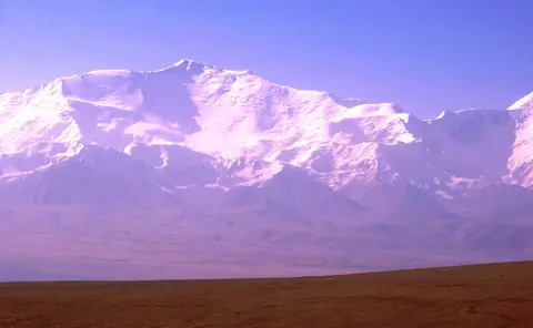
Kyrgyz part of the Pamir also named Pamir Alay or Alay valley or Chong Alay valley.
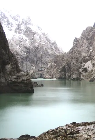
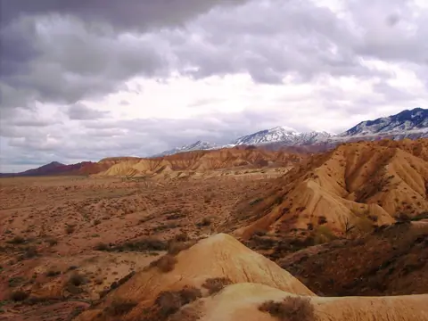
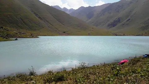
The canyon of Kokkya (Kok-Kya or Kok-Kiya or Kökkyia) is located in the Ak-Say bassin of the Naryn region, at the distance of about 100 km from Naryn city. Meanders of the Kokkya river is about 40 km long, where series of cliffs cut the plateau of Kapshigay before to flew into the Kakshal river, some km before to cross the Chinese border. The river originates in the mountains of Köl Too and Sary Beles and the mystic lake Köl-Suu (Koel-Suu or Kel-Suu).
On the southern shore of Issyk-Kul, one kilometer east of Ton Bay, is the holy place "Manzhaly-Ata". Manzhyly-Ata became famous at the end of the 17th century, in the epic "Manas" he is mentioned as sacred to the Kyrgyz people. Although Manzhaly was the patron saint of nomadic pastors, he was a famous professor of Sufism, who during his lifetime spread Islam among the Kyrgyz nomadic pagans.
The Naryn River Canyon is located in Jalal Abad Oblast with a length of 85 km. The river flows from Toktogul Lake to the Tashkomur Dam, which is one of the 4 dams in this canyon. The M41 road, from Bishkek to Osh, runs along the river which in Uzbekistan will become the Syr-Darya river.
Situated in the Koel Tor gorge part of the Kegeti basin.
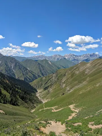
В 400 км от Бишкека или в 60 км от г. Каракол, старая физическая и геологическая станция находится в ущелье Чон Кызыл-Суу на высоте 2600 м. Это очень хорошее место для акклиматизации, прежде чем подняться на вершины Терскей Алатоо.
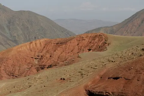
The Chunkurchak Gorge is located 45 km south of the Kyrgyz capital, Bishkek. A unique landscape, a mixture of pastures and red sandstone rocks, at the foot of the highest glaciers of the Kyrgyz Alatoo mountain range. It is a recreational place where you can find several mountain hotels, as well as a ski resort.
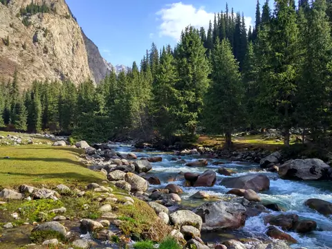
A 50 km gorge located north of Toktogul town on the M41 road. We stop there to eat trout or buy honey. The upper part is covered with meadow, while the lower part of the gorge is more humid and covered with deciduous and fir trees.
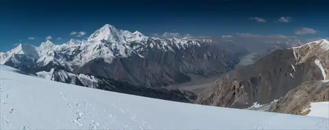
В сердце центрального Тянь-Шаня, ледник Энгильчек (кирг. Эңилчек) — также известный как Энельчек (Энильчек) или Иныльчек (Иныльчек) — является крупнейшим ледником Кыргызстана. Его киргизское название означает «легкий», что контрастирует с этим огромным ледяным потоком, протянувшимся более чем на 60 км и покрывающим около 657 км². Он расположен у подножия легендарных вершин, таких как Хан-Тенгри и Дженгиш Чокусу, в одном из самых изолированных районов Тянь-Шаня, к востоку от большого озера Иссык-Куль.
Кара-Суу ущелье образует одну из диких и живописных долин биосферного заповедника Сары-Челек. В верхнем течении река известна как Кызыл-Суу, которая берет начало у подножия впечатляющего Чаткальского хребта. Здесь ландшафт становится более суровым, с широкими серыми скалами и крутыми горными склонами, обрамляющими долину.