History

Petroglyphs of Ornok

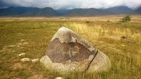
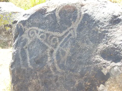
Maybe less know, petroglyphs of Ornok are of the same period than petroglyphs of Cholpon Ata. A wild open air museum, where you have to find by yourself stones drawn during bronze, iron ages, and during the early Middle Ages. There are more than 2000 stone boulders, with images of ancient hunters and animals such as the mountain goat (Ibex), deers: totemic animals of the Bugu's tribe, dogs, leopards, horses, camels.

Ornok
Kyrgyzstan

Scythians kurgans of San Tash

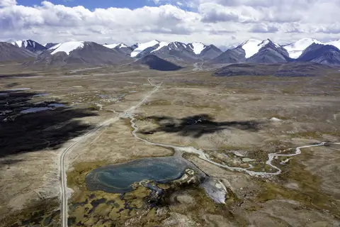
The San-Tash burial mound, which means "counting stones" or "reading stones" in the Turkish language, is located on the bank of the Tiup River, near the eastern border post with Kazakhstan A363, at an altitude of 1996 metres alt . Most of the Scythian tombs in the vicinity are dated to the 6th to 1st centuries BC. But the stone heap remains an enigma as it is linked to a legend of Tamerlane which was used to count the number of dead soldiers during battles.

San-Tash
Kyrgyzstan

Saimaluu-Tash

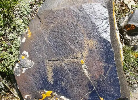
At Saimaluu-Tash there are many rocks of basalt. Paintings were drawn with iron and bronze instruments on the smooth surfaces of basalt, blackened by the sun.

The men scratched the scenes of life, hunting, displacements, ritual dances, different divinities, demonic dances, humanoid creatures with canine heads and hypertrophied arms.

Kazarman
Kyrgyzstan

Przhevalsky museum

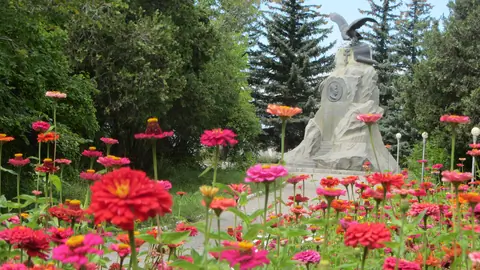
 Nikolay Mikhailovich Przhewalsky was one of the first Russian Geographer who started studying in detail the geography, flora and fauna of the Central Asia. Beginning from 1870, he arranged 4 large expeditions to Mongolia, China, and Tibet.

During his expeditions, he revealed the exact directions of the mountain ranges and borders of the Tibetan Mountains. Przhewalsky collected an enormous zoological collection, which comprised several thousand of species of plant, animals, birds, fishes and insects.

Karakol
Kyrgyzstan

Russian Orthodox Holy Trinity Cathedral

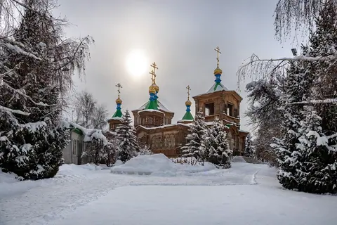
The story of the church goes back to July 1869, when Karakol was a garrison town on the edges of the Tsarist Russian Empire. The Karakol church, however, was destroyed in an earthquake in 1889, which caused havoc in the town and took several lives.  It took six years to complete, and was finally consecrated in 1895.  It has seen considerable service, not just as a church. 

Karakol
Kyrgyzstan

Petroglyphs of Cholpon-Ata

Near the former airport of Cholpon Ata, you may find a large site of petroglyphs from Bronze Age and some sacred places. There are thousand of drawings. First were painted by the Andronov tribes (Andronic), the former Sintashta tribe who colonized Central Asia around 3800 year BC. They were agro-pastoral. Then, we can see paintings from Scythian's tribes (VIII-III centuries B.C.). Most of drawings show animals like ibex or deer for example. 

Cholpon-Ata
Kyrgyzstan

Kojomkul museum

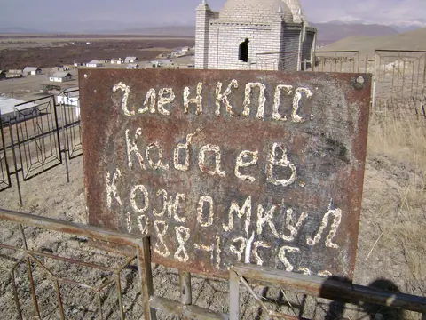
Museum and village in the name of a local hero named Kojomkul. In a small museum you can see photographs, clothes of strongman . Three people can easily fit in the Kojomkul's robe. Huge boulders that the strongman lifted are also stored here. The weight of the smallest of them is 620 kilograms.Not far from his native village, named after him, journalists saw a huge stone weighing more than 600 kilograms, which Kojomkul in 1924 lifted and placed on the grave of one of the local leaders named Tyyta uulu Chargynbek. Next to the stone is the mausoleum of this official.

Kojomkul
Kyrgyzstan

Gumbez of Manas

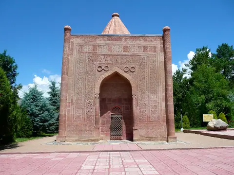
The Gumbez (Mausoleum) of Manas, a medieval architectural monument from the 14th century (around 1334), is located in Tasharyk village, at the crossroad of Kenkol valley and Talas valley, 13 km north-east of Talas. Although well known among people and in scientific literature as the Mausoleum of Manas, the inscription on the wall reads that the tomb belongs to the daughter of one of the rulers of the Chagatai Khanate, but the body of a 2 meters tall man was found in the tomb.

Talas
Kyrgyzstan

Koshoy-Korgon ancient fortress

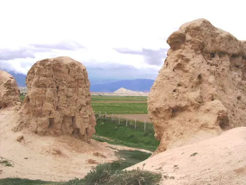
Koshoi-Korgon is a fortress located in the center of the At-Bashy Valley. It was strategically located on the Silk Road between Kashgar and the Naryn region in Kyrgyzstan.

The city is rectangular in shape from 245 to 250 m. The height of the preserved walls is 4 to 8 m.

There are 60 towers around the perimeter: 19 in the north, 13 in the south, 17 in the east and 11 in the west. The walls and towers are made of large blocks of clay and long bricks. The wall is 7 to 9 m thick on the ground and 3 to 4 m in height.

At-Bashi
Kyrgyzstan