Peak

Path Element
peaks

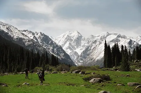
Oguz Bashi peak

Oguz Bashi is a mountain peak located in the Terskey Ala Too range of Kyrgyzstan, at the top of the Jeti Oguz valley. The peak has an elevation of 5,168 meters and is located in the Ak-Suu district of the Issyk-Kul region.

The climb to the summit of Oguz Bashi is considered to be a challenging but rewarding experience. The ascent typically takes several days and involves a combination of hiking, scrambling, and mountaineering. Along the way, climbers can enjoy stunning views of the surrounding mountains and valleys.

Jeti-Ögüz
Kyrgyzstan
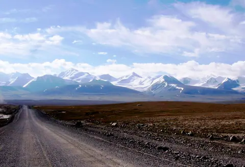
Kunguey Alatoo

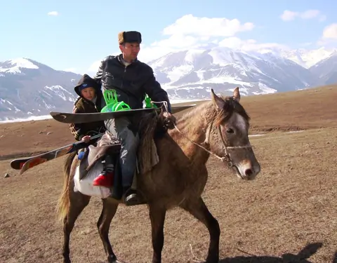
The Kunguey Alatoo (Kungeï) is the range on the North of the Issyk Kul lake marking the border between Kyrgyzstan and Kazakhstan. The range is 280 km long for about 35 km width. The highest peak is the Choktal peak and culmines at 4771 meter altitude.

Cholpon-Ata
Kyrgyzstan

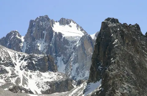
Korona The Crown peak

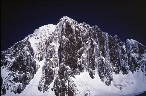
Pic Corona is located in the Ala Archa Valley and its National Park. It is located at an altitude of 4860 m and thus one of the highest peaks in the Kyrgyz Alatoo range. The peak at the top of Ak-Say glacier, its northern part, 1.68 km from Semenov Tianchansky peak. It consists of six rock towers forming a crown.
It takes 4 days for its ascent. The first base camp is at the foot of the Ak-Say glacier, and there is a small refuge at the foot of the summit at an altitude of 3800 meters.
In winter the ascent can be done by ski touring.

Ala-Archa
Kyrgyzstan

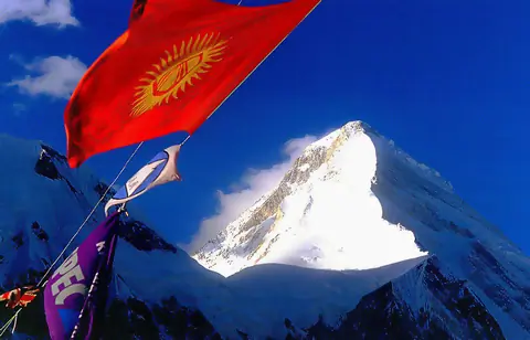
Khan Tengri peak

Khan-Tengri is a mountain peak, the highest point of the Republic of Kazakhstan on the border with Kyrgyzstan and China, its height is 7010 m above sea level. “Lord of the sky” as the ancient Turks called one of the highest peaks of the Tien Shan - Khan-Tengri peak. The central Tien Shan, located at the junction of the borders of Kazakhstan, Kyrgyzstan and China, is one of the most popular centers of world mountaineering. Khan-Tengri Peak is without a doubt a treasure of the Tien Shan. This is the second highest mountain in this northernmost of the Asian mountain ranges.

Engilchek
Kyrgyzstan

Aigul-Tash peak

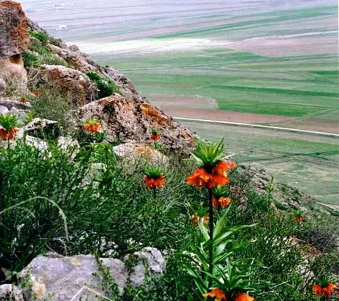
Mount Aigul-Tash is located east of the village of Kara-Bulak in the Batken district. A small mountain surrounded by fields, it is a little over 200 meters high, and culminates at 1670 meters above sea level, and it stretches from east to west over 3 km. The mountain is unique because it grows the endemic flower of Aigul, with bright orange petals.
The Aigul "moon flower" is listed in the Red Book. Its scientific name is Fritillaria eduardii Regel, family of lilies.

Batken
Kyrgyzstan