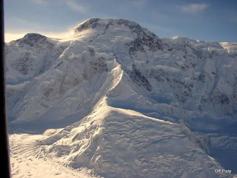
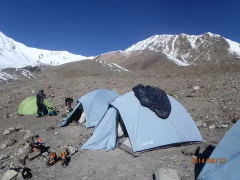
Peak

Path Element
peaks

Zarafshan Range

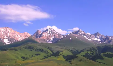
The Zarafshan Range is a mountain range in Tajikistan and Uzbekistan, part of the Pamir-Alay mountains. Almost all of the range belongs to the drainage basins of the Zarafshan River.

The Persian name is believed to possibly be a reference to gold found in bed of the Zarafshan River and its tributaries, which has ushered prosperity to the region from ancient times.

The highest point of 5,489 metres is the peak Chimtarga.

Panjakent
Tajikistan
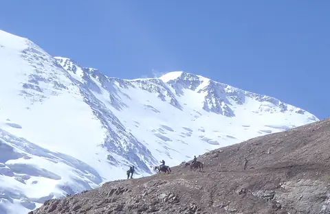
Lenin peak BC

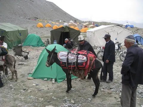
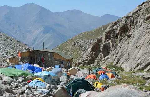
Base Camp, also known as Achyk Tash, is a secluded corner in the heart of the mountains, located at an altitude of 3600 meters. It is a place where travelers can enjoy absolute solitude and the delightful beauty of the mountain landscape.

The base camp offers the opportunity to stay in your own tent or in rented tents, or even sleep under the roof of a traditional Kyrgyz yurt. This allows each guest to choose the accommodation option that suits their preferences and comfort.

Achyk-Tash
Kyrgyzstan

Muztagh Ata BC

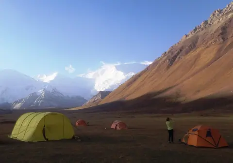
Base camp of the Muztagh Ata peak.

Dates 2018 for Muztagh Ata ascent (date of arriving at Kashgar) :

12.June 2018

14.June 2018   

17.July 2018     

24.July 2018   

03.August 2018

For more information, please contact us by email  

Tashkurgan
Xinjiang Weiwuerzizhiqu
China

At-Bashi range

The At-Bashi Range is 135km long and culminates at 4,801 meters. It stretches from the southwest, from the Muz-Tor valley and the Tuz-Bel Ashuu pass, to the northeast to Bosogo and the Kayindi pass. North of the chain is the At-Bashi Valley at an average altitude of 2,500 meters. North side, the slopes are steep and covered with rich vegetation. On the south side, the plain of Ak-Say is at an average altitude of 3200 meters. The highest peak is the Rhianydd at 4,801 meters. The At-Basi peak rises to 4788 meters and is the second highest in the chain.

At-Bashi
Kyrgyzstan

Pyramidal peak

The Pyramidal peak is located on the crest of the Turkestan chain belonging to the Pamir-Alai massif. It is a monolithic granite mountain that attracts experienced climbers on mixed routes. It lies between the border of Tajikistan and Kyrgyzstan and 9 lanes have already been opened on the Kyrgyz side. The approach is made by going up the valley of Kara-Suu and by the glacier of Asan-Usin. The area is known as Karavshin, the valley that brings together the rivers surrounding the peak. It is the second highest peak in Turkestan after Skalisty peak, which is 5,612 meters high.

Karavshin
Kyrgyzstan

Pobeda peak

Le pic Pobeda est le point culminant du massif du Tian Shan et du Kirghizistan, à l'est du pays à la frontière avec la Chine. Il constitue un symbole historique pour différents pays. Il est gravi pour la première fois en 1956 par Vitaly Abalakov. Sommet particulièrement dangereux, son ascension est principalement tentée par des alpinistes russes.

Engilchek
Kyrgyzstan

Lenin peak

The second highest peak of Kyrgyzstan, situated in the Pamir at the border with Tajikistan. It rises at the altitude of 7134m. Best period for the ascent is from July to August, some years till early September.

Sary-Mogol
Kyrgyzstan

Manas peak

Manas Peak is the highest point of the Talas Ala-Too ridge and is located to the west of the chain, 3km north of the border with Uzbekistan. Its height is 4484 m above sea level. It is the highest point of the Archaluu massif. It lies between the Ak-Tashluu Valley in the east and the Kiuriush-Kel Valley in the west. To the east, it is bordered by a glacier 3 km long.

The summit received its name in honor of the great hero told in the epic tale of the same name.

Talas
Kyrgyzstan