Sight

Path Element
sights

Ak-Sai valley

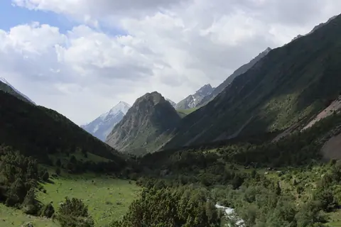
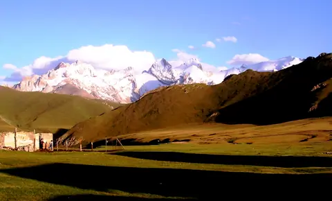
South of the At-Bashi mountain range, lies the upper Ak-Say valley, which stretches for a hundred kilometers, and up to 40 km in width. It is mainly yak breeders who come for the summer season. Some shepherds stay in the winter with their herd of yaks, but the temperatures are harsh and can drop to -40 degrees Celsius in winter.

At-Bashi
Kyrgyzstan
Chatkal valley

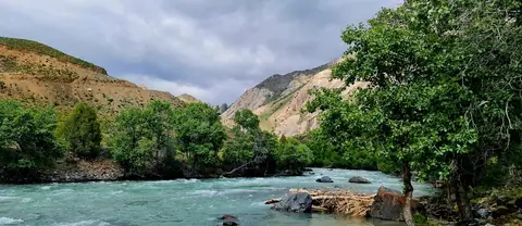
The Chatkal valley follows the mountain chain of the same name, to the north-west of this chain, over a length of 160km before flowing into the Charvak dam in Uzbekistan. By road, there are only 2 accesses, either by Talas to the north and the Kara-Bura Ashuu pass located at 3302m. alt .; or from the south, via the Chapchyma Ashuu pass 2841m. alt. when arriving from the town of Kerben.

The capital is the village of Kanysh-Kyya, and the lower part of the valley is in the Besh-Aral nature reserve.

Chatkal
Kyrgyzstan

Boom gorge

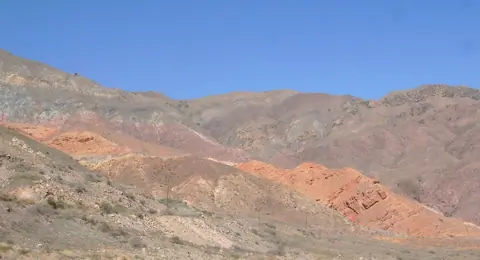
The main main road connects the Oblast of Chuy and that of Issyk Kul by a canyon 40 km long. But this passage was only opened during the expedition led by explorer Pyotr Semionov-Tian-Chanski in 1857. The colors of the rocks are incredible. You can visit several small canyons with red rocks like the Creek canyon.

Boom Gorge
Kyrgyzstan

Ak-Sai glacier

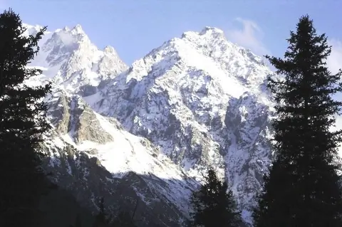
The Ak-Say glacier (means "white valley") is situated in the Ala Archa valley and surrounded by popular peaks like Teketor (4441m.); Aktoo (4620m.); peak Korona (4860m.); peak Iziskatel (4400m.); peak Svobodnaya Korea (Free Korea, 4740m.); peak Box (4240m.).

Ala-Archa
Kyrgyzstan

Abshir-Ata waterfall

In the Abshir-Say valley, 40 km southwest of the town of Nookat is the unique Abshir-Ata waterfall, 1,800 meters above sea level.

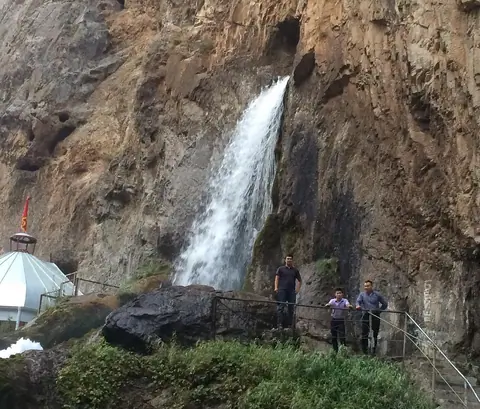
The waterfall is unique because the water escapes from a hole with a diameter of 1.5 m, and its fall has a height of 12 to 15 m from the ground. The water contains mineral salts. It is considered sacred, and so are many local visitors.

According to a legend, once upon a time there was a pilgrim who hit the rock with his stick and milk began to flow from it.

Nookat
Kyrgyzstan

Ak–Bura valley

Ak-Bura is a very long valley which has its source in the Kitchi Alay range. The city of Osh was founded at the bottom of the valley. The very important basin fills the Papan dam. One of the sights of the valley is the Red Mountains around the village of Kodjo-Kelen.

Osh
Kyrgyzstan

Alamedin gorge

The Alamedin valley is one of the 2 valleys supplying water to the city of Bishkek. It lies to the east of the Ala Archa valley. It is very popular and owes its development during the Soviet era with the construction of a sanatorium around the mineral hot springs. The valley attracts many walkers, picnickers but also mountaineers because it is surrounded by the highest peaks of Kyrgyz Alatoo, such as the Simeon Tienshansky peak 4875m. alt. and the Alamedin Wall culminated by the Kyrgyzstan peak at 4840 meters.

Alamedin
Kyrgyzstan

Alay Valley

Image
Alay valley
Height
912
Width
1480

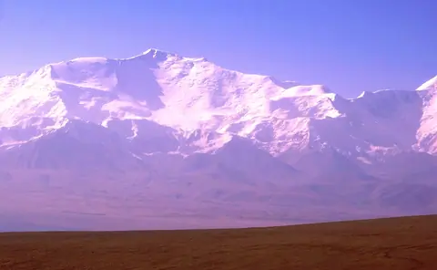
The Alay valley is bordering Tajikistan on the South of Kyrgyzstan. The river name Kyzyl Suu or the "red river" and flew into Tajikistan. It's part of the Kyrgyz Pamir or named also Pamir Alay. The valley is wellknown for large flocks of yacks but also for its wellknow peak named "Lenin". Gulsho is its administrative center, and Sary Mogol village is one of largest village of the valley. In winter, life conditions are particulary difficult.

Sary-Tash
Kyrgyzstan