Kyrgyzstan

Code value
KG
Nationality
Kyrgyz
Path Element
kyrgyzstan
Adjective
Kyrgyz

At-Bashi range

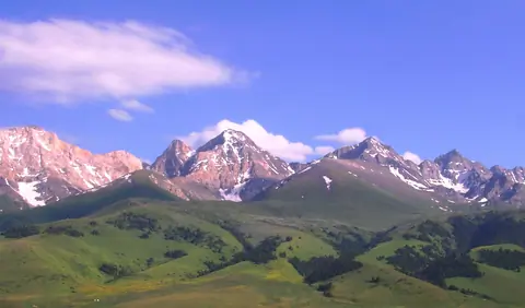
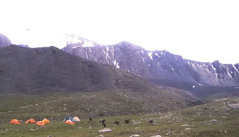
The At-Bashi Range is 135km long and culminates at 4,801 meters. It stretches from the southwest, from the Muz-Tor valley and the Tuz-Bel Ashuu pass, to the northeast to Bosogo and the Kayindi pass. North of the chain is the At-Bashi Valley at an average altitude of 2,500 meters. North side, the slopes are steep and covered with rich vegetation. On the south side, the plain of Ak-Say is at an average altitude of 3200 meters. The highest peak is the Rhianydd at 4,801 meters. The At-Basi peak rises to 4788 meters and is the second highest in the chain.

At-Bashi
Kyrgyzstan
Arslanbob waterfall

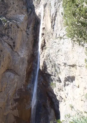
A large waterfall is located north of the village. The waterfall is like a long tongue coming out of a crevice in the rock. This narrow stream of water rushes from a sheer cliff 80 meters high with a breathtaking roar - it truly is an impressive sight!

It is not that easy to access the waterfall, there are rather slippery embankments around the waterfall. The waterfall falls into a hollow. It's hard to see the whole waterfall.

But it is possible to access from the bottom and enter the rift and see yet another waterfall.

Arslanbob
Kyrgyzstan

Altyn Arashan hot water springs

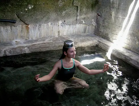
One of the most beautiful places in Kyrgyzstan is the Altyn Arashan Gorge (Kyrgyz "source of gold".) Its scenic beauty, a gem of the mountain - Ala Kul and its hot springs, known for their beneficial properties, have Long captured the hearts of people who come here.The mountainous valley of the Arashan River is located 10 kilometers east of the city of Karakol.

Ak-Suu
Kyrgyzstan

Aalam Ordo

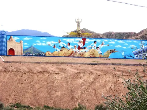
Aalam Ordo is located along the road on the southern shore of lake Issyk-Kul 5 kilometers east of Kaji-Say, between the main road and the beach. 

Cholpon-Ata
Kyrgyzstan

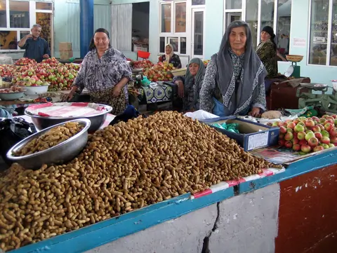
Small village on the South of the Toktogul reservoir. On the foot of the Kök Irim Too and Kaktal Kirka Too ranges. The Sunday market is very authentic.

Geo
Contains
Image
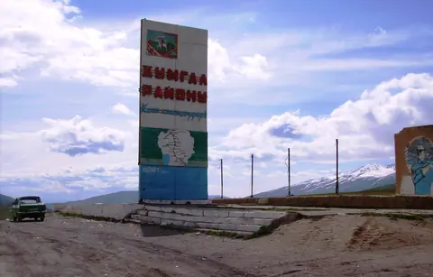
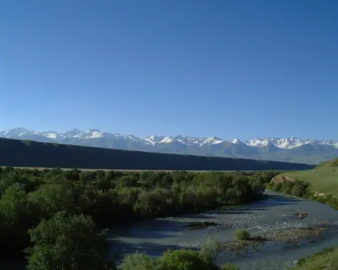
Jumgal valley
Height
2088
Width
3264

Small village located 68 km from Kochkor on the road to Chaek. This is the starting point of several horse riding tours to Lake Song Kul or to Sarala Saz pastures. It lies between the mountains of Sandyk and Song Kul. Our partner of the eco-tourism association "Shepherd's Life" can lodge you for the night with the locals.

Geo

Uzgen is one of the oldest cities in the country, having been founded, according to Chinese chronicles, more than two thousand years ago in the 2nd century BC as a market village and supply point on the route from the Ferghana Valley to Kashgar.

In the 12th century, it became the second capital (under the name Mavarannahr) at the end of the Turkish Karakhanid dynasty, and its monuments are considered unique from a historical and cultural perspective.

Geo
Contains