City

Path Element
cities
Image
Bishkek
Height
798
Width
1200

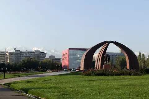
Bishkek is the practical and human starting point for many Kyrgyz journeys. It gives travelers time to meet the team, adjust plans, check equipment, walk leafy streets and understand the country before the road climbs toward valleys, lakes and pastures.

Geo

Contains

The city of Kashgar is in the far NW China, west of the Taklamakan desert at the foot of the Tian Shan range. The oasis of Kashgar is an important crossroads of trade routes from the North, West, from Tajikistan and Kyrgyzstan. It is also located at the northern end of the Karakorum highway that takes the Khunjerab Pass connects Kashgar to the city of Islamabad in Pakistan.

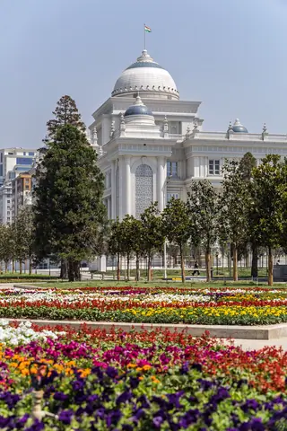
Dushanbe is the capital and largest city of Tajikistan. Dushanbe means "Monday" in the Tajik language. It was so named because it grew from a village that originally had a popular market on Mondays. As of 2014, Dushanbe has a population of 778,500.

Geo

Contains

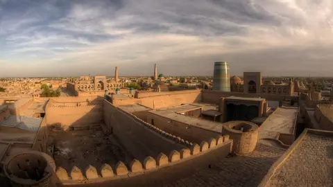
Another city on the Silk Road is ancient Khorezm, or Khiva as it is now called. Khiva can be considered an open-air museum - it is not for nothing that it is included in the UNESCO list, because every building here is a monument of antiquity. In the old part of the city of Ichan-Kala, founded around the 5th century AD, about 60 historical monuments have been preserved, including the citadel, palaces, mosques, minarets and mausoleums. In addition to the old city-fortress, there is another old part Dishan-Kala, where residential buildings and shopping arcades were located.

Geo
Contains

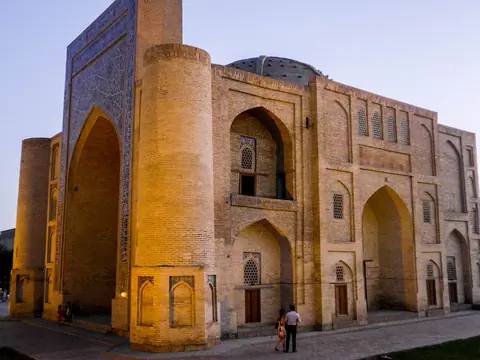
In the shade of mulberry trees, the city of Bukhara was an important stop on the Silk Road. A museum city that testifies to the rich past of Central Asia.

Bukhara- Buqaraq of the sogdienwhich would mean "fortunate place" and Vihara in Sanskrit which means a Buddhist monastery. 

Geo

Contains
Tashkent is often the first practical contact with Uzbekistan: airport, trains, metro, markets, museums and the rhythm of a capital that has been rebuilt many times. It is useful copy territory for travelers preparing to enter the Silk Road cities without reducing Uzbekistan to monuments.
Geo

Contains
Image
Talas
Height
3072
Width
2304

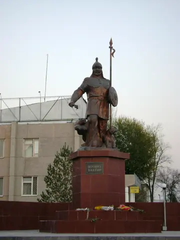
Talas is a small town in northwestern Kyrgyzstan, located in a long valley between two imposing mountain ranges. Its geographical location is 42°31′N 72°14′E and its population is 32,538 (as of 1999). It is the administrative headquarters of Talas Oblasty. Its economy is traditionally oriented towards the Kazakh city of Dzhambul.

Geo

Contains

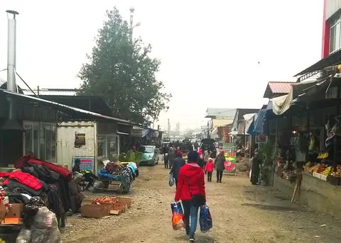
Jalal-Abad (also Dzhalal-Abad; since 2003 also spelled Jalalabad and Jalalabat) is the administrative and economic center of Jalal-Abad Oblasty in southwestern Kyrgyzstan, with a population of about 75,000. It is situated at the north-eastern end of the Fergana valley along the Kugart river valley, in the foothills of the Babash Ata mountains (at 40°56′N 73°0′E), very close to the Uzbek border.

Geo

Contains