Peak
Lenin peak
- Place type
- Peak
- Elevation
- 7134 m
Field notes
The field account
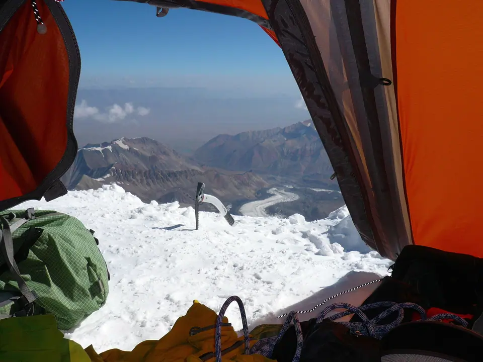
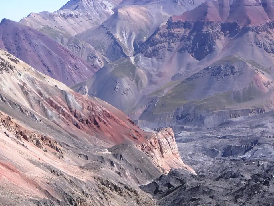
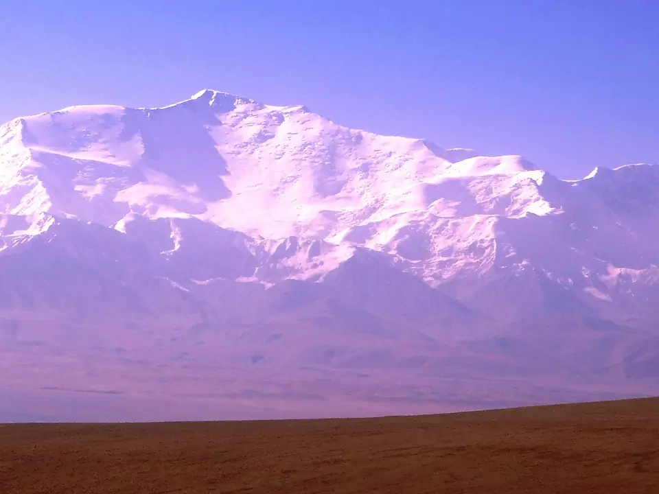
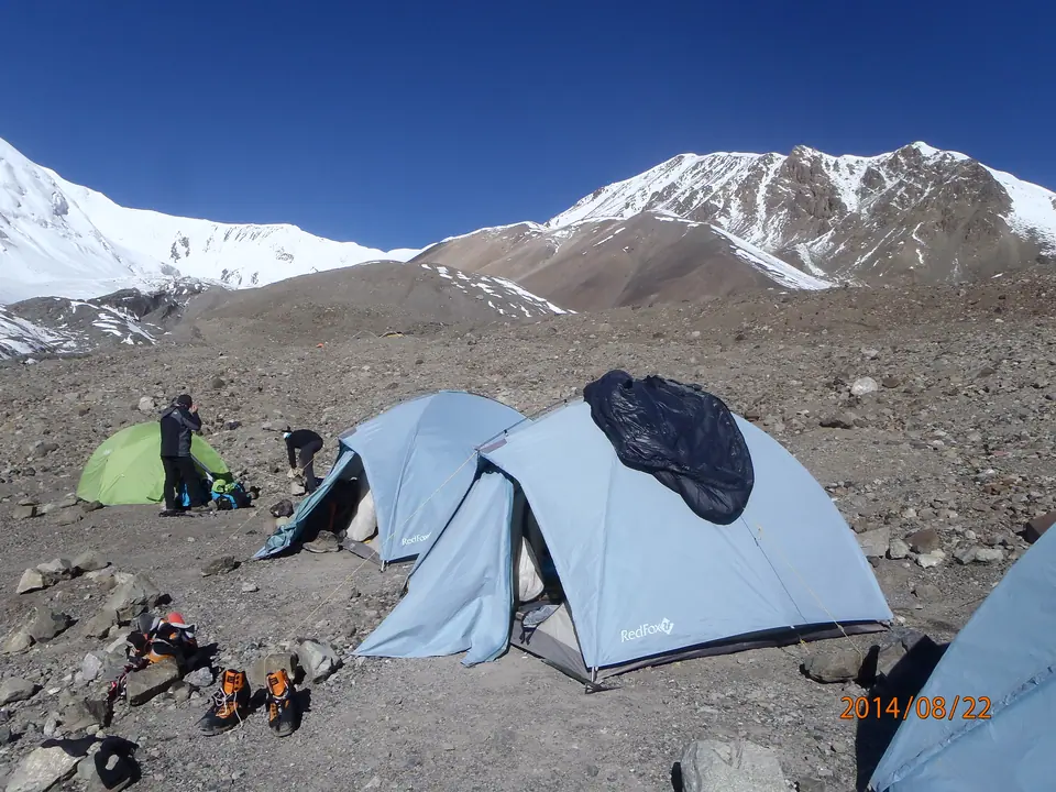
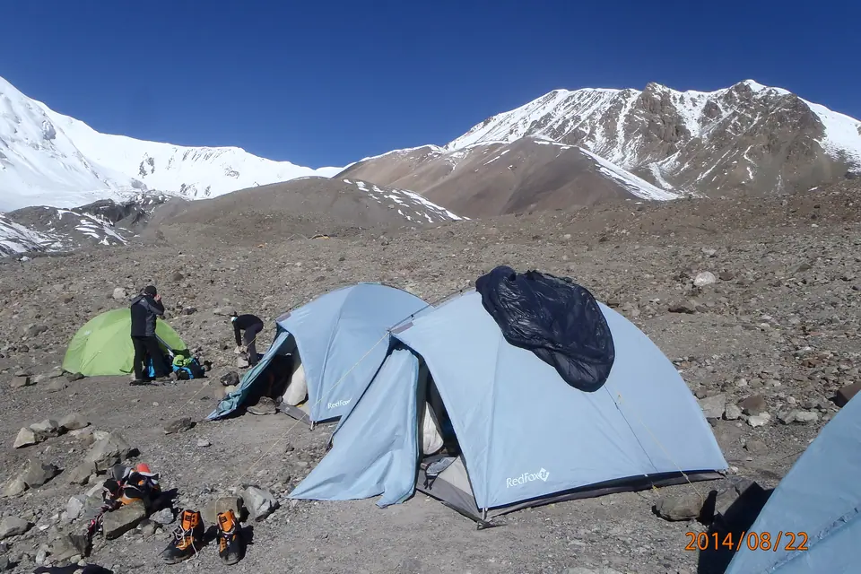
The second highest peak of Kyrgyzstan, situated in the Pamir at the border with Tajikistan. It rises at the altitude of 7134m. Best period for the ascent is from July to August, some years till early September.
Map margin
Where it sits
Visual field notes
A closer look