Lake
Kolsay lakes
- Place type
- Lake
- Elevation
- 1818 m
Field notes
The field account
Immerse yourself in the breathtaking beauty of the Kolsay Lakes, a trilogy of awe-inspiring glacial wonders, nestled amidst the Kungey Alatoo range.
Three mountain lakes are strung along the Kolsay River. The river rises to the south, near the Kazakhstan–Kyrgyzstan border in the Kungey Alatoo range:
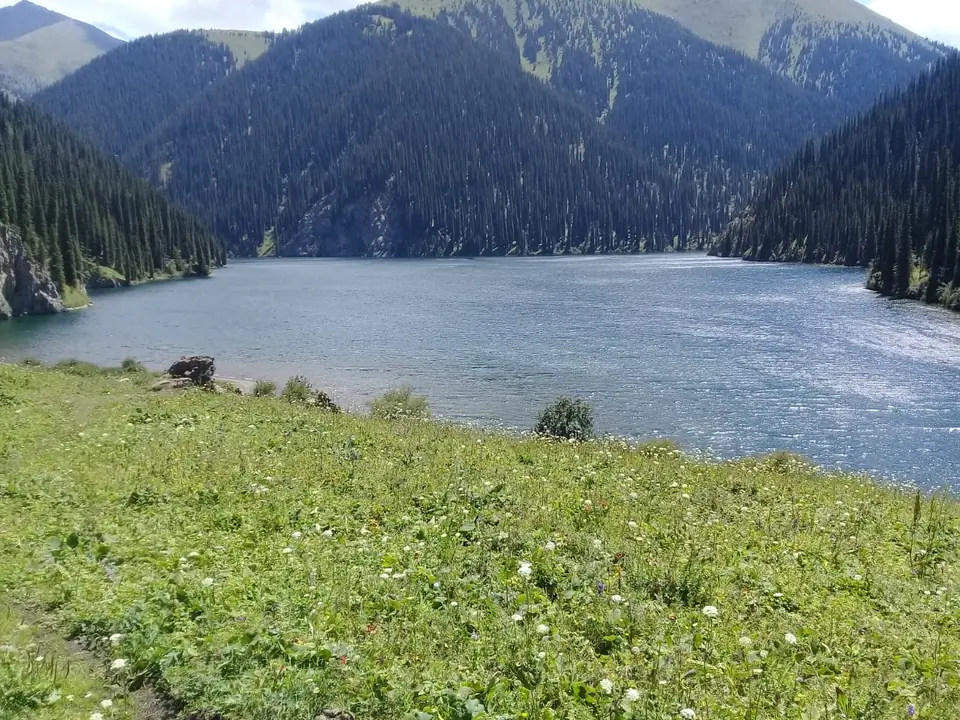
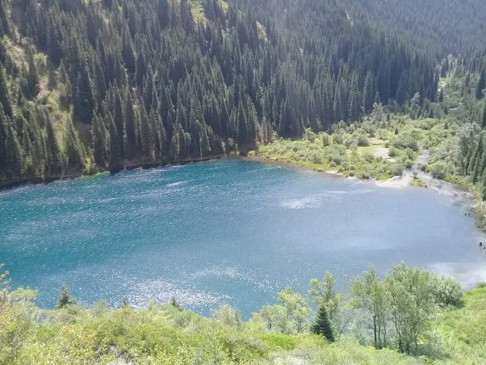
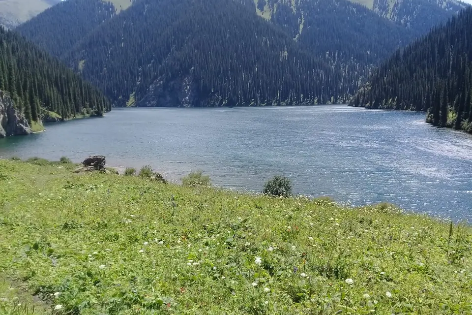
- The lower lake is about 1 km long, 400 metres wide and 80 metres deep. It is accessible by road, with guesthouses and campsites nearby. Altitude: 1,818 metres.
- The middle Kolsay Lake, Mynzholky, means “1,000 years old.” Located 5 km upstream from the lower lake, it is the largest of the three and reaches a depth of 50 metres. Altitude: 2,252 metres. A day hike can cover the route from the lower lake to the middle lake and back.
- The upper lake lies 6 km above the middle lake, among spruce forest and alpine meadows. It is 6 km from the Sary-Bulak Pass and Kyrgyzstan. Altitude: 2,850 metres. Access is currently restricted and requires a special permit.
Other glacial lakes in the region lie at elevations of 3,200–3,500 m, closer to the central Kungei Alatau range. Many are unstable: water levels can change, and some lakes can appear or disappear. During hot summer months, moraine dams can sometimes break, causing mudslides that are dangerous for visitors. Mudflows may also be triggered by torrential rain, glaciers or moraines slipping into moraine lakes, or the failure of natural dams formed by avalanches or river debris.
State National Natural Park “Kolsay Lakes” was established in 2007 to protect the area.
The Community Based Tourism of Saty offers lodges in the village at the foot of the lakes.
Map margin
Where it sits
Visual field notes
A closer look