City
Naryn
- Territory type
- City
- Elevation
- 2050 m
Territory notes
The field account
Naryn is an administrative area in Naryn Region, used for Kyrgyzstan route and place grouping.
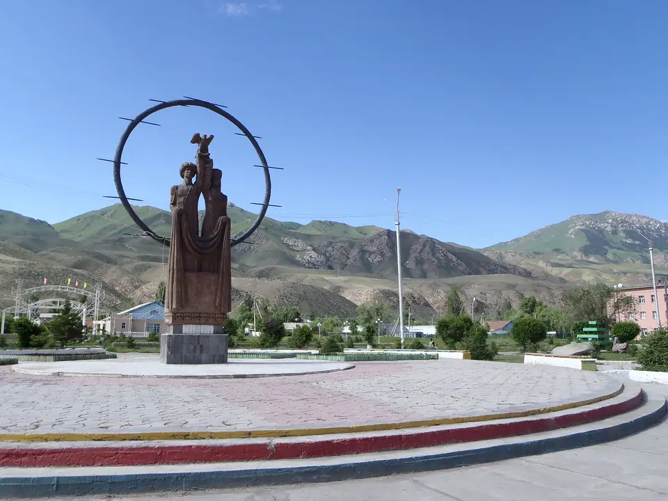
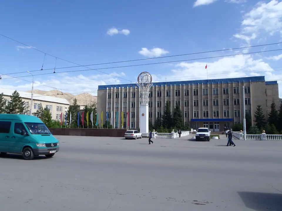
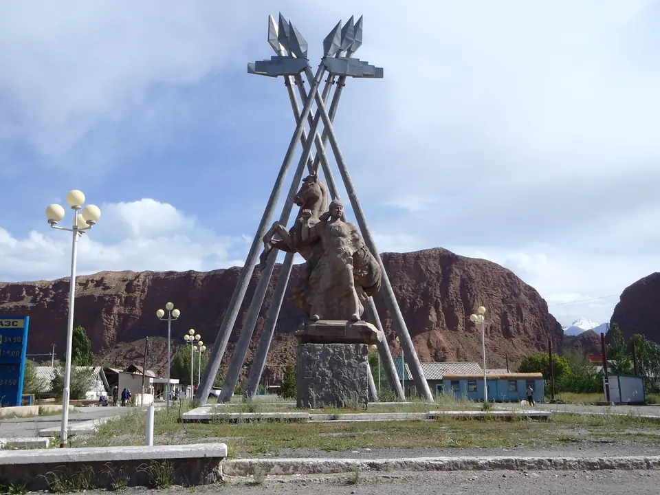
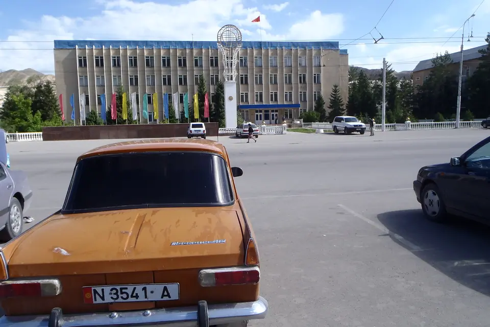
Blocked in the Central Tien Shan, the town was built during soviet times. If the town has no charm, the landscape is just unbelievable. Red cliffs are surrounding the main city of the Naryn's Oblast.
Map margin
Where it sits
The map marks an orientation point for this territory; it does not describe its boundary.
Geographic index
Within this territory
18 destinations in the catalogue
-
Naryn bus station
Sight · 2047 m
-
Gallery of Art in the city of Naryn
Cultural Site · 2047 m
-
Mosque which is located in the city of Naryn
Sacred Place · 2047 m
-
Store of national clothing Kyrgyz UZ
Cultural Site · 2047 m
-
Kaken Mambetaliev Historical and Ethnographic Museum
Museum · 2200 m
-
Osmonala Sydyk Uulu Museum of Local Lore
Museum · 1705 m
-
Naryn Bazaar
Bazaar · 2047 m
-
Salkyn-Tor national park
Nature Site · 2200 m
-
Small Naryn valley
Sight · 2500 m
-
Kokkya canyon
Sight · 3300 m
-
Naryn reserve
Nature Site · 2600 m
-
Kyzyl Korgon
Sight · 1375 m
-
Terek canyon
Nature Site · 3262 m
-
Teshik canyons
Sight · 2500 m
-
Ala Myschik cave
Historical Site · 2118 m
-
Ak-Tash waterfall (Naryn)
Sight · 2250 m
Visual field notes
A closer look