Jailoo
Kaynar gorge
- Place type
- Jailoo
- Elevation
- 3500 m
- Community
- Barskoon
- Landscape
- Highland & Peaks
Field notes
The field account
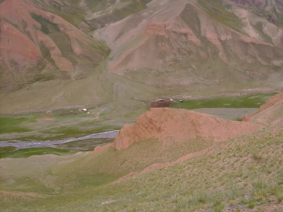
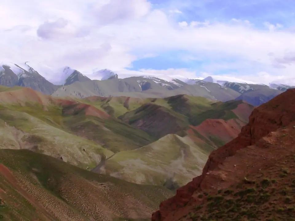
The Kaynar River has its source in the Borkoldoy massif. At the foot of the glaciers lies its 2 km long lake, formed after a landslide.
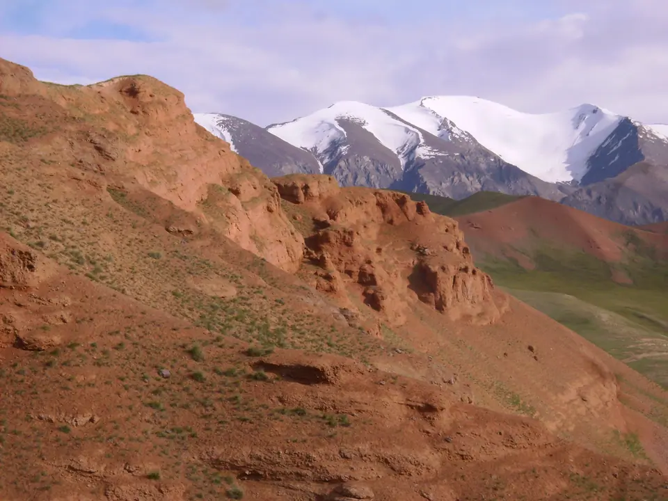
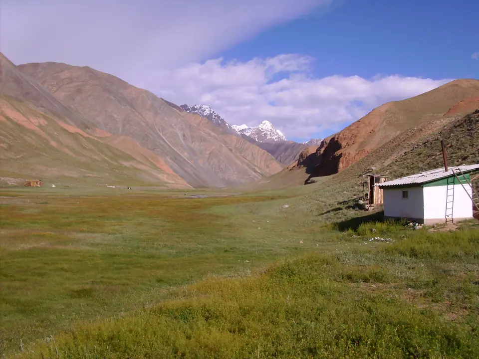
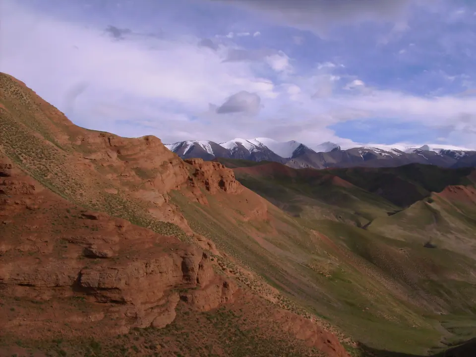
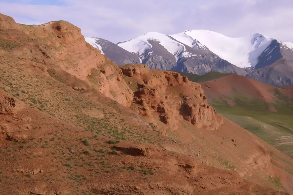
The contrast between glaciers, black and red rocks, and meadows where sheep and marmots graze is totally incredible.
Map margin
Where it sits
Visual field notes
A closer look