Pass
Ala-Archa pass
- Place type
- Pass
- Elevation
- 3903 m
Field notes
The field account
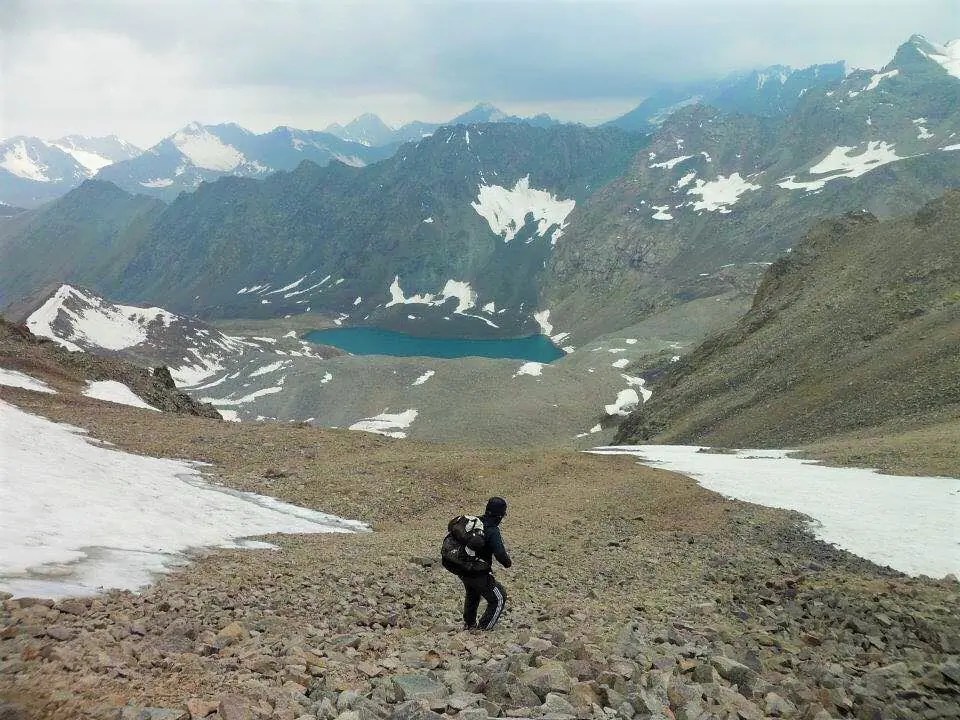
Ala Archa National Pass lies at the end of the Ala Archa Valley, above the western Ala Archa Glacier. From the park entrance, reaching the foot of the pass takes about a full day of hiking. Overnight options include the old ski-base refuge or tents near the former meteorological station.
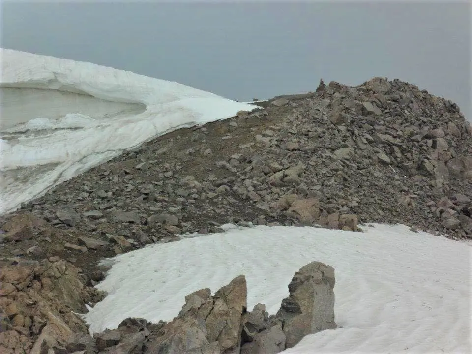
There is no marked trail on the pass, and route-finding can be difficult. A guide is recommended. The pass gives views towards nearby peaks, including Toktogul (4,361 m) and other 4,000 m summits.
The pass connects the Ala Archa Valley with the Karakol-West Valley on the far side of the Kyrgyz Alatoo range.
Map margin
Where it sits
Visual field notes
A closer look