Village
Jyrgalan
- Territory type
- Village
- Elevation
- 2200 m
Territory notes
The field account
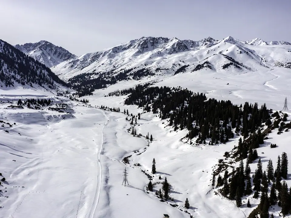
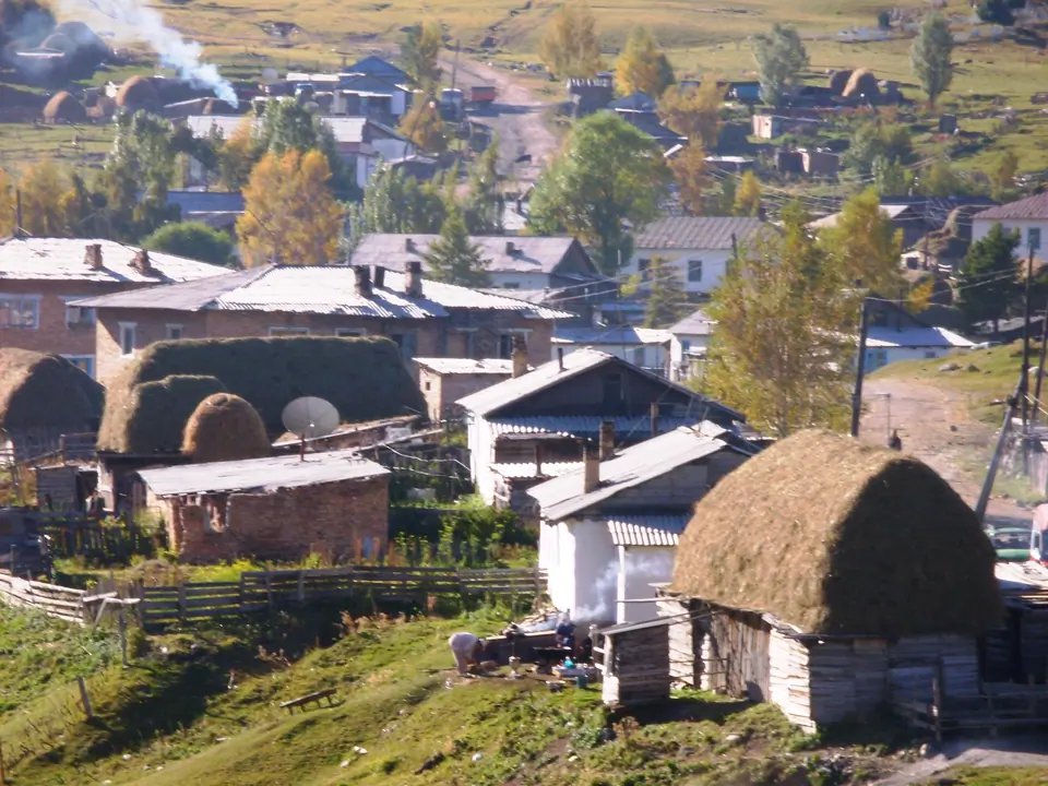
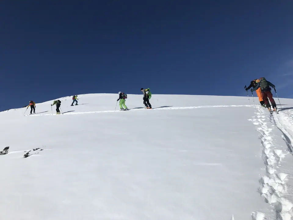
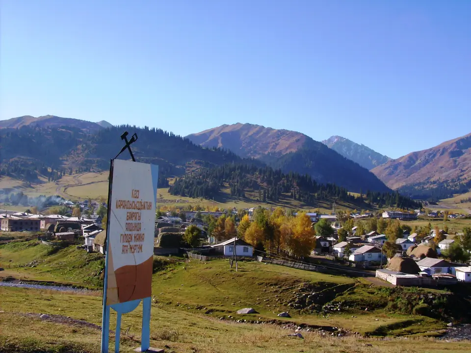
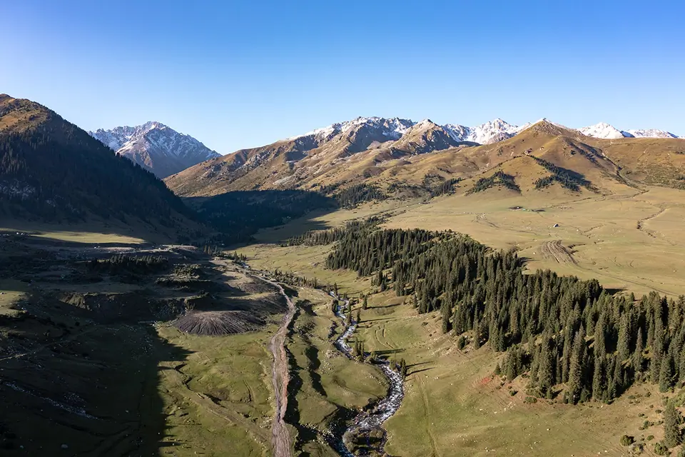
Jyrgalan (Jergalan, Djyrgalan) is a small village situated in the Ak-Suu district, eastern part of the Issyk-Kul region of Kyrgyzstan. Translated from the Kyrgyz language, Jyrgal - "joy, pleasure", en - "valley". The village is located on the East bank of the Jirgalan River and has about a hundred local residents. In the last decade, the village of Jyrgalan began to be rebuilt as a place for ecotourism, which provides hiking and horseback riding in the summer months and backcountry skiing in the winter. Initially, the village was founded as a coal mining city during the Soviet period. Currently, the mines also remain active and support the country's economy. Jyrgalan is charming with its stunning views, fresh mountain air and remoteness from civilization. At an altitude of 2,200 meters above sea level, the village is surrounded by mountain ranges, the highest point of which reaches 3,700 meters. Characteristic for this area are coniferous plants, such as pine, larch, spruce, etc. The road leading to Jyrgalan ends in a dead end for normal transport, whereas for hikers, horse or cycling tourists, it is easy to find narrow paths that lead to the Tiup Gorge or to Karkara.
Trekking, hiking, horseback riding, skiing in Jyrgalan, Jergalan.
Zhyrgalan is part of the Kyrgyz Nomadic Trail (KNT), a national trail network that promotes sustainable tourism and allows travelers to discover Kyrgyzstan's natural and cultural heritage.
Map margin
Where it sits
The map marks an orientation point for this territory; it does not describe its boundary.
Geographic index
Within this territory
5 destinations in the catalogue
Sights and natural places
-
Ashusuu pass
Pass · 3640 m
-
Jergez Allanysh lakes
Lake · 3439 m
-
Taragaï
Nature Site · 3300 m
-
Ichke Jergez
Spot Freeride · 2700 m
-
Boroko glacier
Sight · 3700 m
Visual field notes
A closer look