Village
Sary-Mogol village
- Territory type
- Village
- Elevation
- 3000 m
Territory notes
The field account
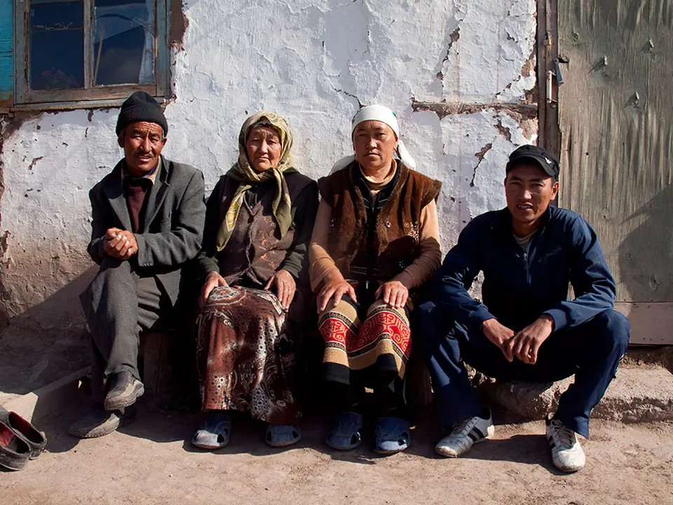
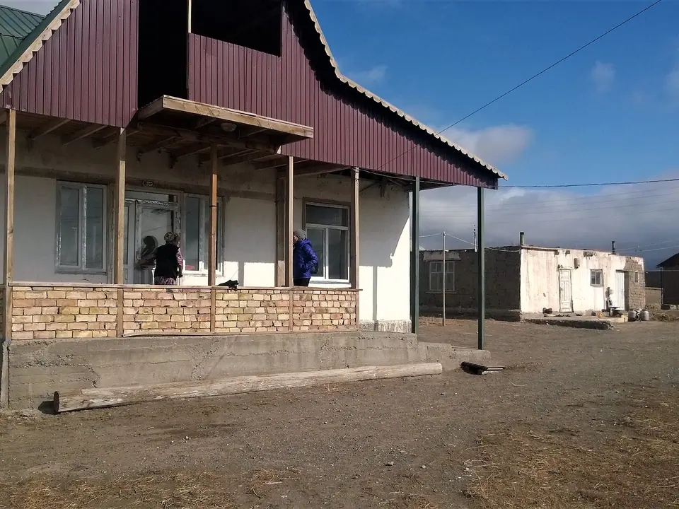
The small village of Sary Mogol is located opposite the famous Lenin peak, on the right bank of the Kyzyl-Suu river which forms the majestic valley of Alay, 180 km long. The glaciers of the Zaalayskiy ridge here form the sources of the great Amu-Darya river, which supplies water to most of the territories of Tajikistan, Uzbekistan and Turkmenistan. By Stalin's clumsiness, the Kyrgyz people of Sary Mogol were cut in two by the Tajik border. Before the arrival of the Tsar, the Kyrgyz people occupied and still occupy the upper Tajik Pamirs. The Kyrgyz people from Murgab then came to graze their herds in Sary Mogol during the summer.
The CBT Sary Mogol association organizes tourist services in the valley, and accommodation for tourists in their homes or in yurts (only in summer).
Map margin
Where it sits
The map marks an orientation point for this territory; it does not describe its boundary.
Geographic index
Within this territory
1 destinations in the catalogue
Sights and natural places
-
Museum Sary-Mogol
Museum · 2974 m
Visual field notes
A closer look