Village
Tamga
- Territory type
- Village
- Elevation
- 1685 m
- Community
- Tamga
- Landscape
- Shoreline
Territory notes
The field account
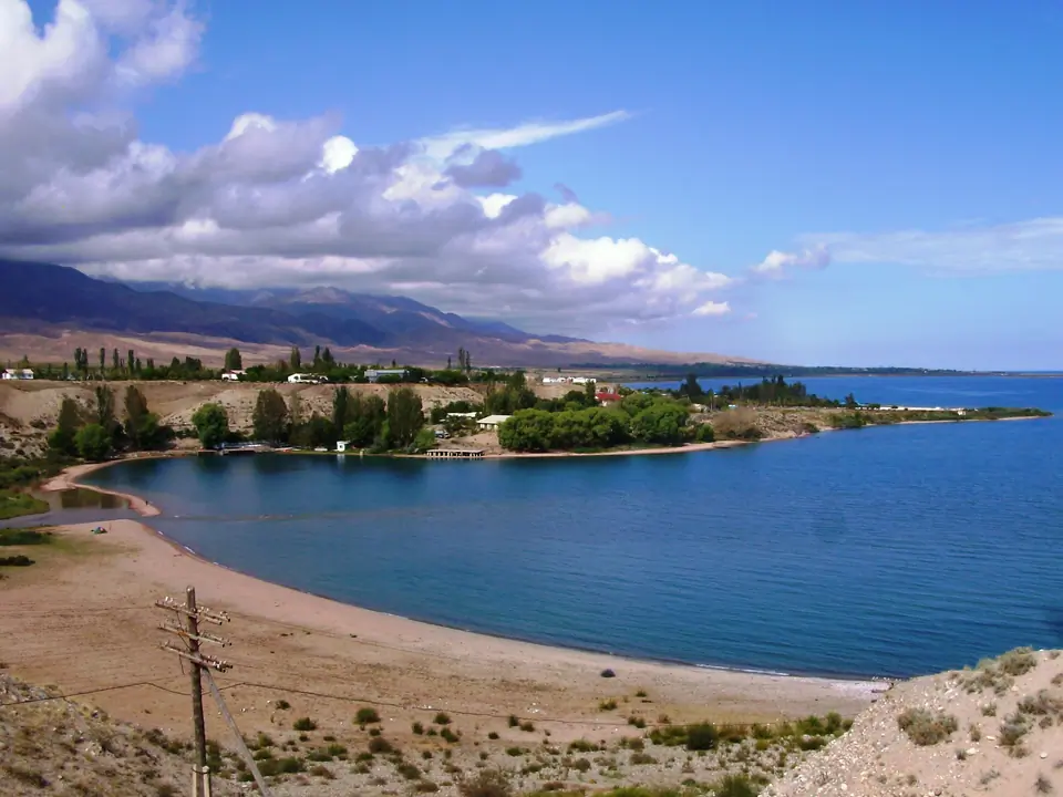
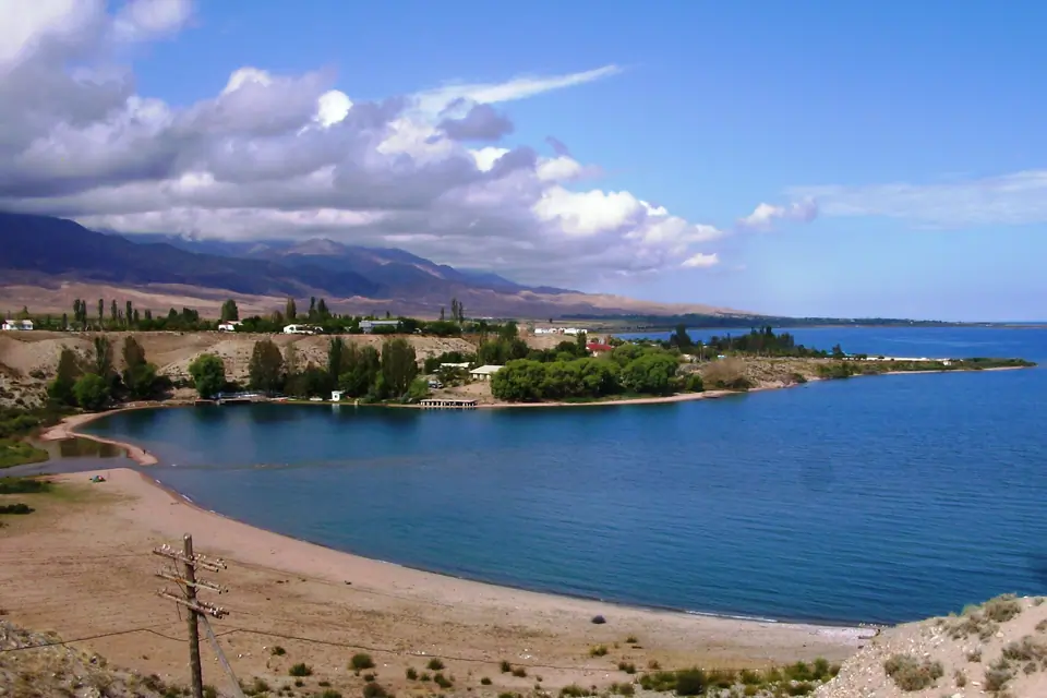
This is a small village on the South shore of the Issyk Kul lake. It was developped with the construction of a military sanatorium during soviet times, planes from Russia were landing on the small airport.
3 stones with buddhist inscription from 8th and 9th century show that people were living there long time ago. Around 1860, Russian colon populated this village, following by Tatars of Kazan in 1916. Now the village is populated by Kyrgyz.
Map margin
Where it sits
The map marks an orientation point for this territory; it does not describe its boundary.
Geographic index
Within this territory
2 destinations in the catalogue
Sights and natural places
-
Eco-center Znaky
Wellness · 1606 m
-
Stones of Tamga Tash
Sacred Place · 1878 m
Visual field notes
A closer look