River Body of Water
Chuluut Bulag valley
Tchuluut Bulag gorge
- Place type
- River Body of Water
- Elevation
- 2500 m
Field notes
The field account
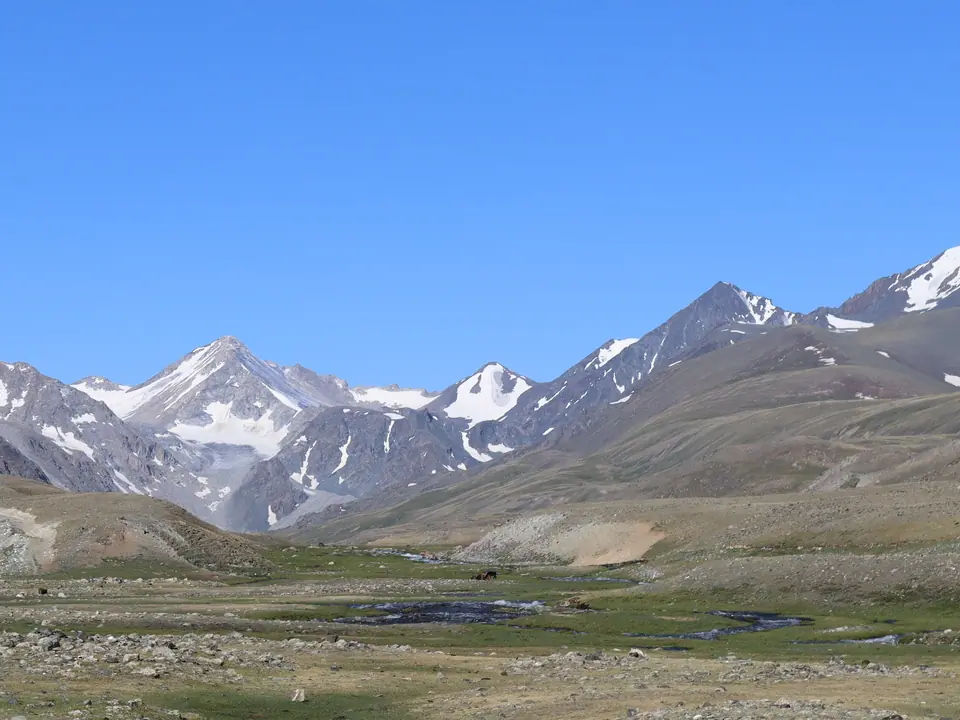
Located northwest of Dayan Lake, Chuluut Bulag Valley takes its name from the river that runs through it and feeds the lake. The valley lies among the rugged peaks of the Mongolian Altai, away from Mongolia’s main visitor routes.
At its upper end, several summits rise above 3,700 metres. The highest, Öndör Khairkhan, reaches 3,914 metres. Along the Chinese border, some peaks still retain glaciers, while those above Dayan Lake have largely lost their ice, leaving scattered snow patches. There are no forests in the valley, but around ten lakes lie among ancient moraines, most of them small glacial lakes.
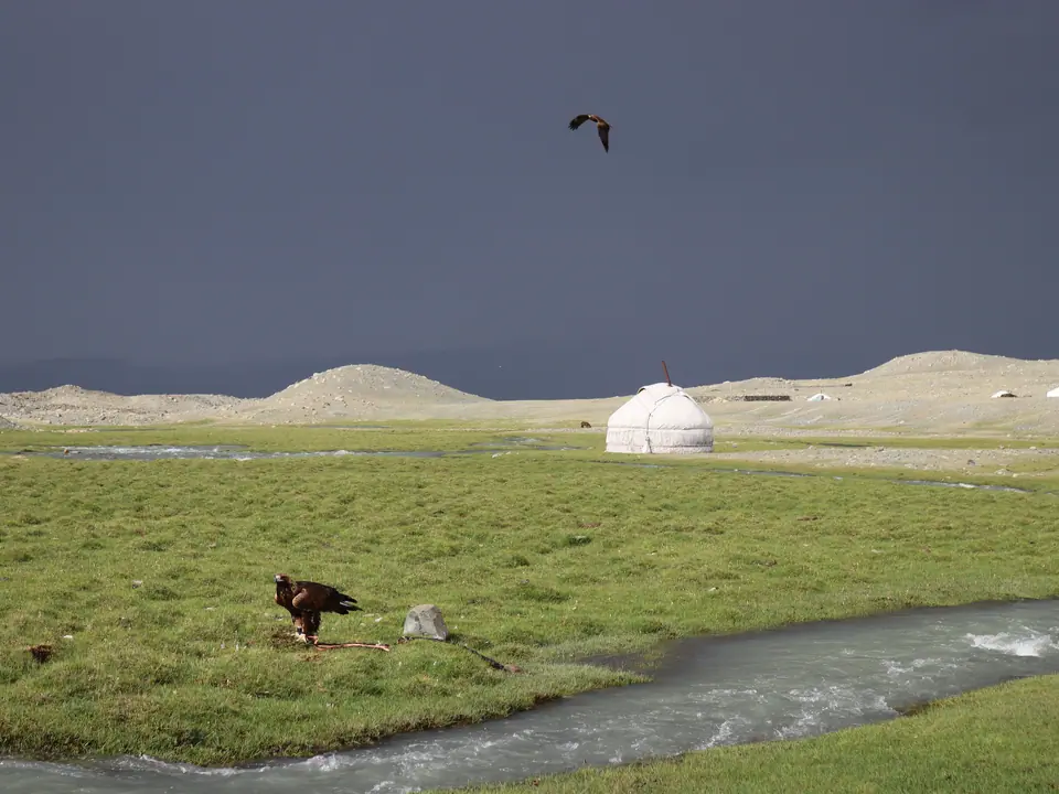
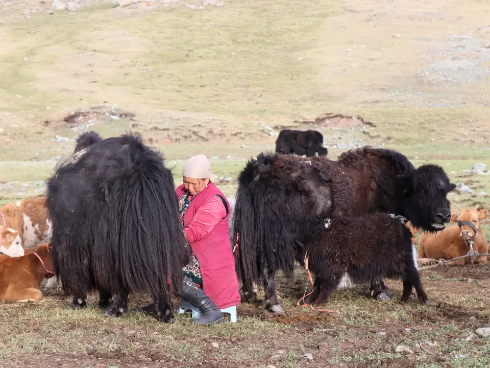
As the river descends eastwards, it reaches Tast Bulag, a wide marshy basin, before flowing gently into Dayan Lake. During summer, several Kazakh nomadic families settle in the valley, usually with two or three yurts for three to four months. They raise sheep, goats, horses, yaks and camels, moving camps several times a year as pasture conditions change. Some families also practise traditional golden eagle hunting, and a few return to the area in winter for this purpose.
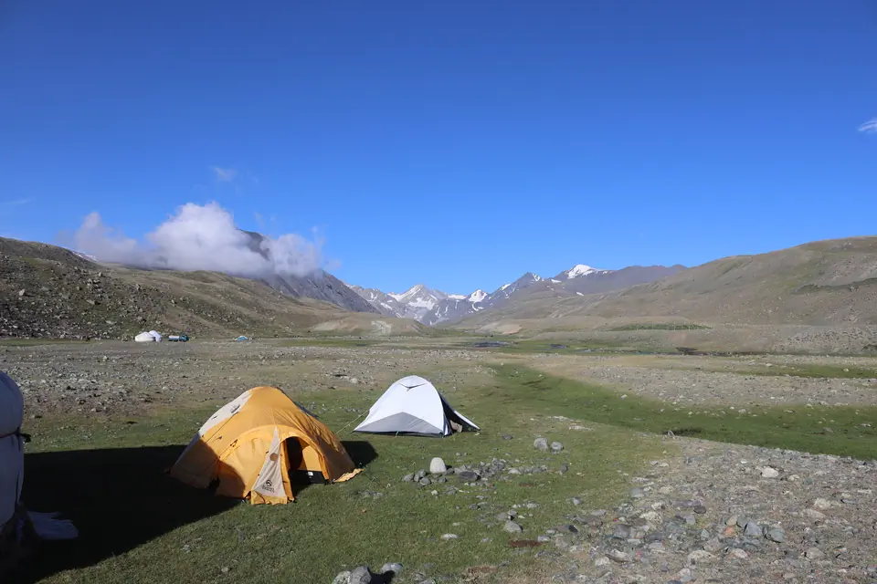
Chuluut Bulag can be explored on foot or horseback. Half-day and full-day hikes lead towards Dayan Lake, while longer routes continue deeper into the valley towards the glaciers of Öndör Khairkhan. Experienced hikers and amateur mountaineers with camping equipment can take on the surrounding peaks.
Chuluut Bulag offers a view of the working seasonal rhythms of Kazakh herding families in a remote part of Mongolia. Visits should respect camp routines, livestock and the privacy of host families.
Map margin
Where it sits
Visual field notes
A closer look