Peak
Diran Peak
- Place type
- Peak
- Elevation
- 7257 m
Field notes
The field account
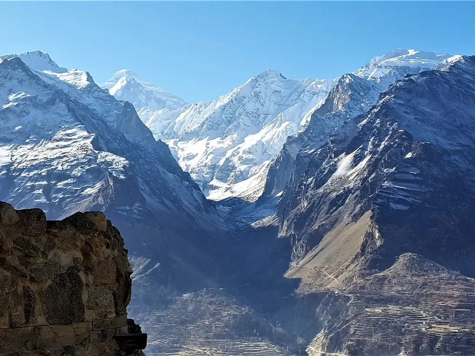
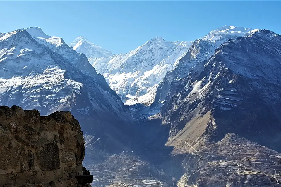
Diran Peak or Minapin Peak is a peak in the Karakoram range and the Rakaposhi massif. The Rakaposhi massif is surrounded by the Hunza valley (to the north, west and south) and to the east the Bagrot valley and its glacier over 22 km long. This 7,257 meter pyramid-shaped mountain lies to the east of Rakaposhi (7,788 m) and is best seen from Baltit Fort.
Diran is nevertheless a very dangerous mountain of Pakistan because its snow and its avalanches are at the origin of many events resulting in hundreds of deaths.
The Diran was climbed for the first time in 1968 by a team of three Austrians: Rainer Goeschl, Rudolph Pischinger and Hanns Schell. The western shoulder route has become the most popular.
Map margin
Where it sits
Visual field notes
A closer look