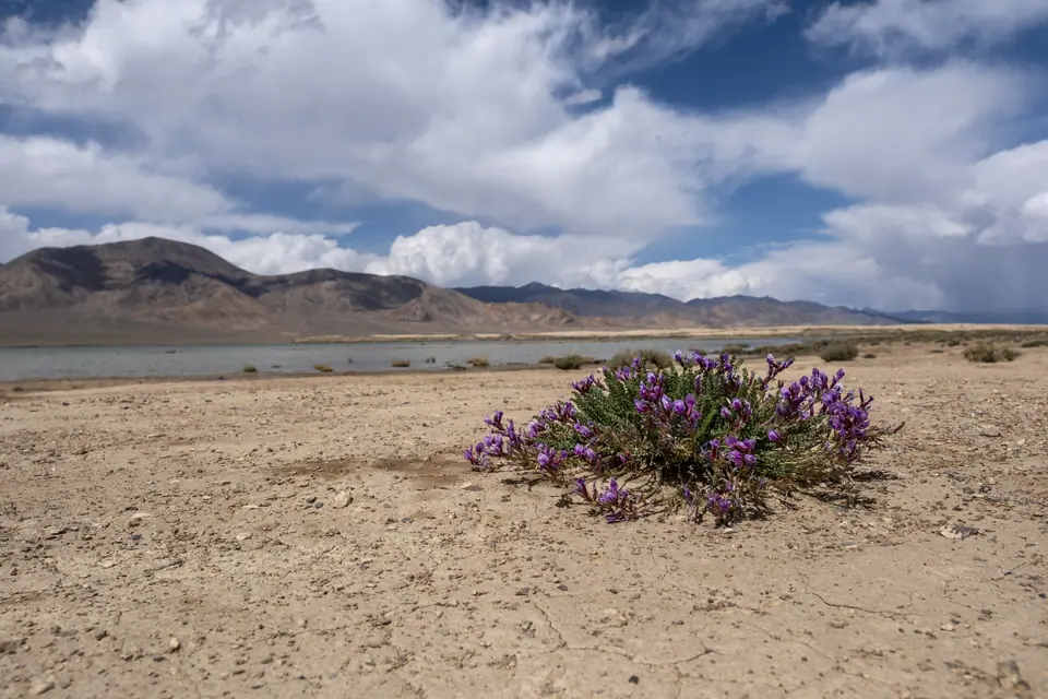
Lake
Shorkul lake
- Place type
- Lake
- Elevation
- 3790 m
Field notes
The field account
To the west of Karatorpok-Keskesdala high plateau and Rangkul village, the lake is endehoric, and flows into the neighboring lake, Rangkul lake, which is about the same size, about 5km long. It fills up with snowmelt and is completely frozen over in winter. Depending on the year or the season, these two lakes can double in size.
13 km from the main M41 road, you can visit these lakes when traveling between Lake Karakul and the capital of the eastern Pamirs, Murgab.
Apart from nature, the region has left several archaeological sites which demonstrate that this passage has been used by caravans for millennia.
Map margin