Journey · 1 day
Chong Kyzyl Suu meteo station - Kichi-Kyzyl-Suu
Hiking day to the valley of Kitchi Kyzyl Suu
Chong Kyzyl Suu meteo stationKichi-Kyzyl-Suu
- Walk
- 18 km7 hr
- Season
- May – October
- Meals
- Breakfast · Lunch · Dinner
- Elevation gain
- 895 m
- Elevation loss
- 900 m
Journey route
The route
- 01
- 02DestinationKichi-Kyzyl-Suu
Journey notes
About this Journey
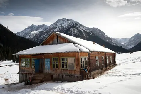
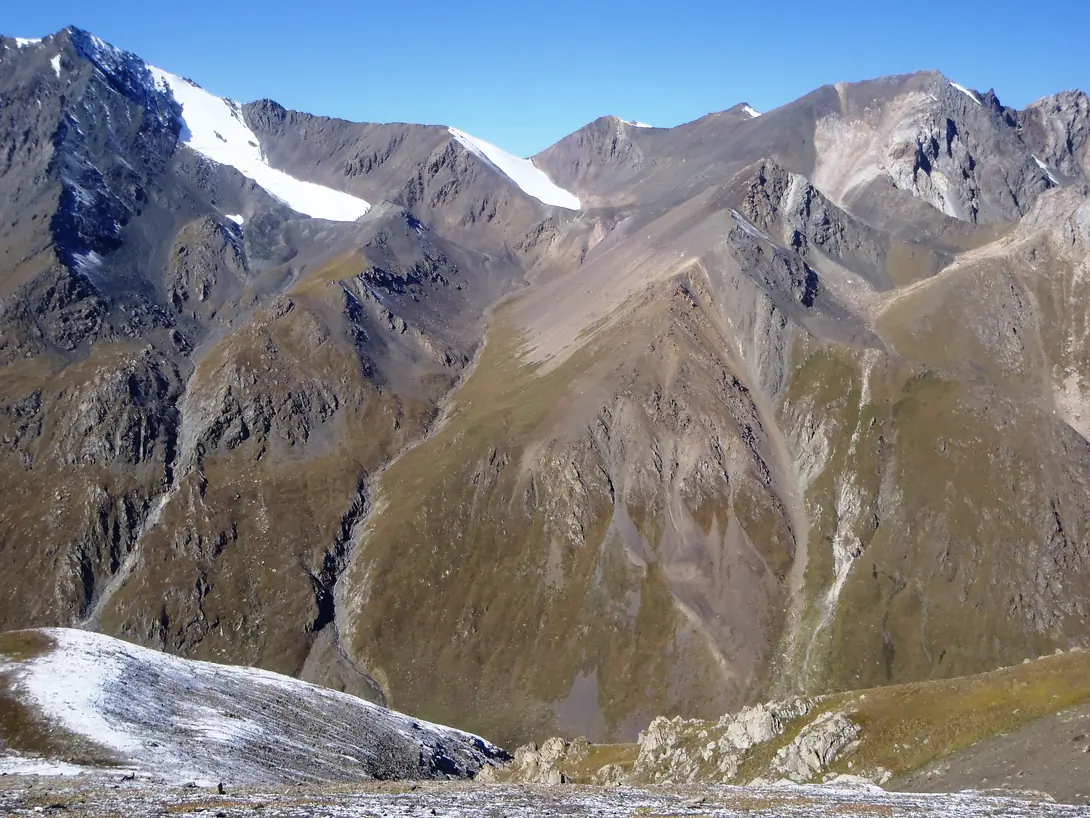
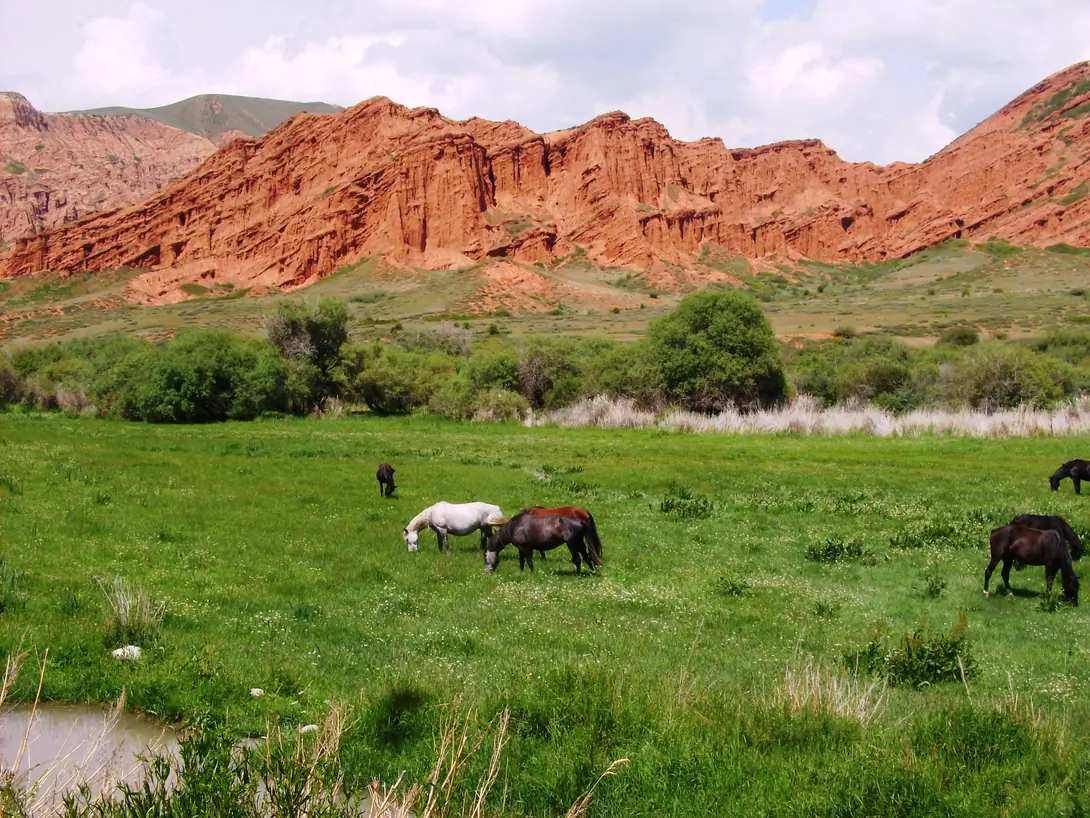
We hike back to Ak-Tash, then we ascend a plateau which opens a beautiful view of Lake Issyk-Kul. Descent to the Kichi Kyzyl-Suu Valley. Overnight in tents at 2350m. 5-6 hours walk, 16 km.
Visual Journey notes
Along the route

Journey connections
Connect another day
Arriving here
Asan Tukum (Jeti Oguz)Chong Kyzyl Suu meteo station
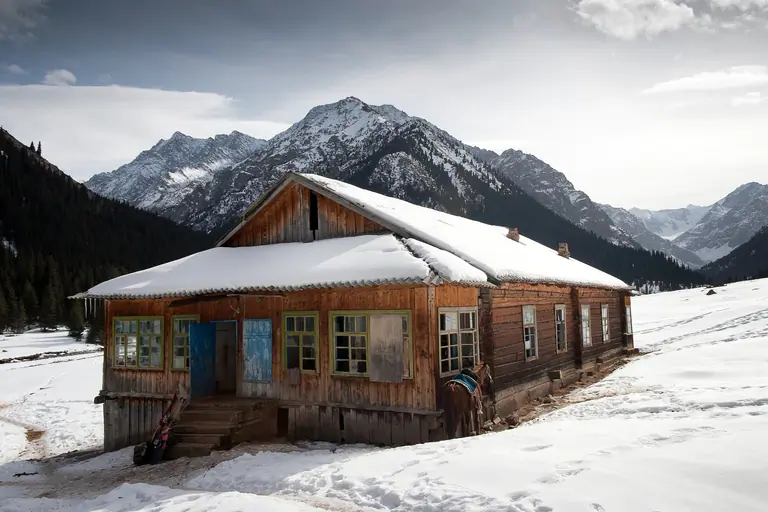
Chong Kyzyl Suu meteo stationChong Kyzyl Suu meteo station
Journey · 1 day
Chong Kyzyl Suu meteo station - Chong Kyzyl Suu meteo station
15 km
Summer
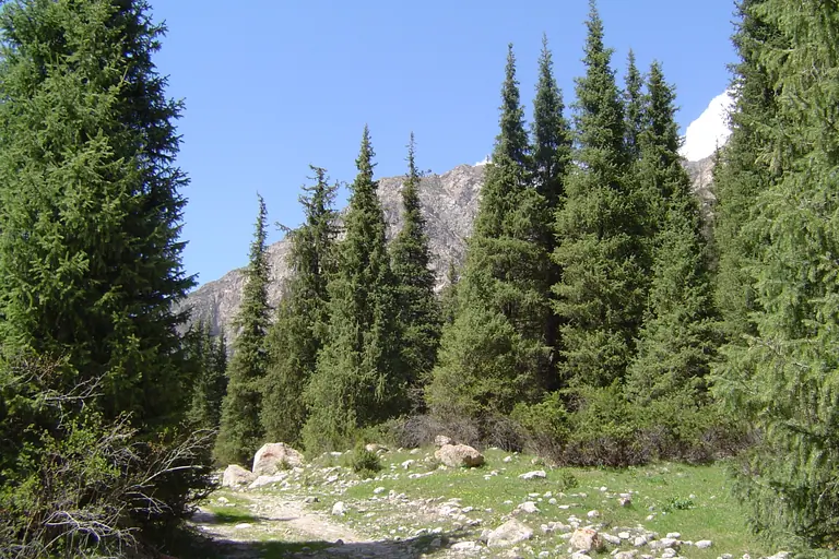
Chong Kyzyl Suu meteo stationChong Kyzyl Suu meteo station
Journey · 1 day
Chong Kyzyl Suu meteo station - Chong Kyzyl Suu meteo station
14 km
Summer
Continuing from here
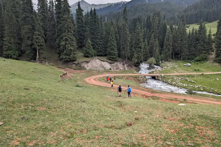
Kichi-Kyzyl-SuuTamga

Kichi-Kyzyl-SuuJukutchak (Kashkator)
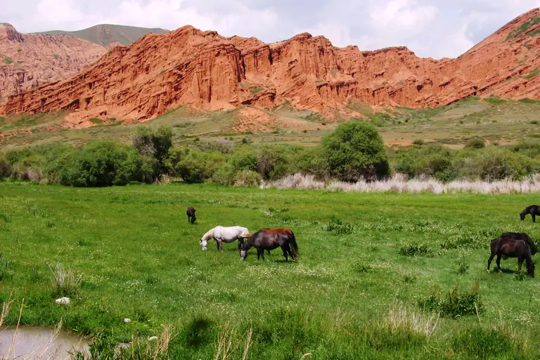
Kichi-Kyzyl-SuuChong Kyzyl-Suu
Roadbook
Add this Journey to your Roadbook
Use this one-day Journey as a building block, then continue from its destination.