Journey · 1 day
Osh - Sary-Tash
From Osh to Sary-Tash accross the Pamir Alay range
OshSary-Tash
- Drive
- 186 km3 hr
- Season
- Year-Round
- Meals
- Breakfast · Lunch · Dinner
- Elevation gain
- 2558 m
- Elevation loss
- 405 m
Journey route
The route
Journey notes
About this Journey
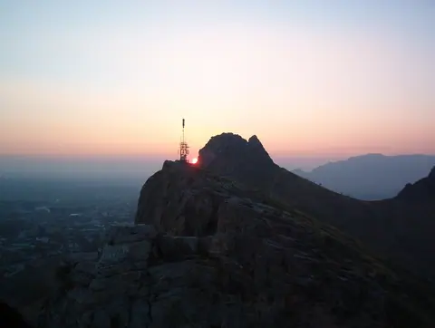
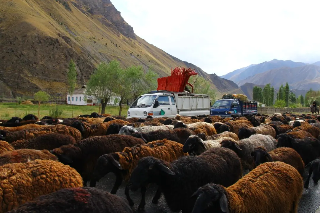
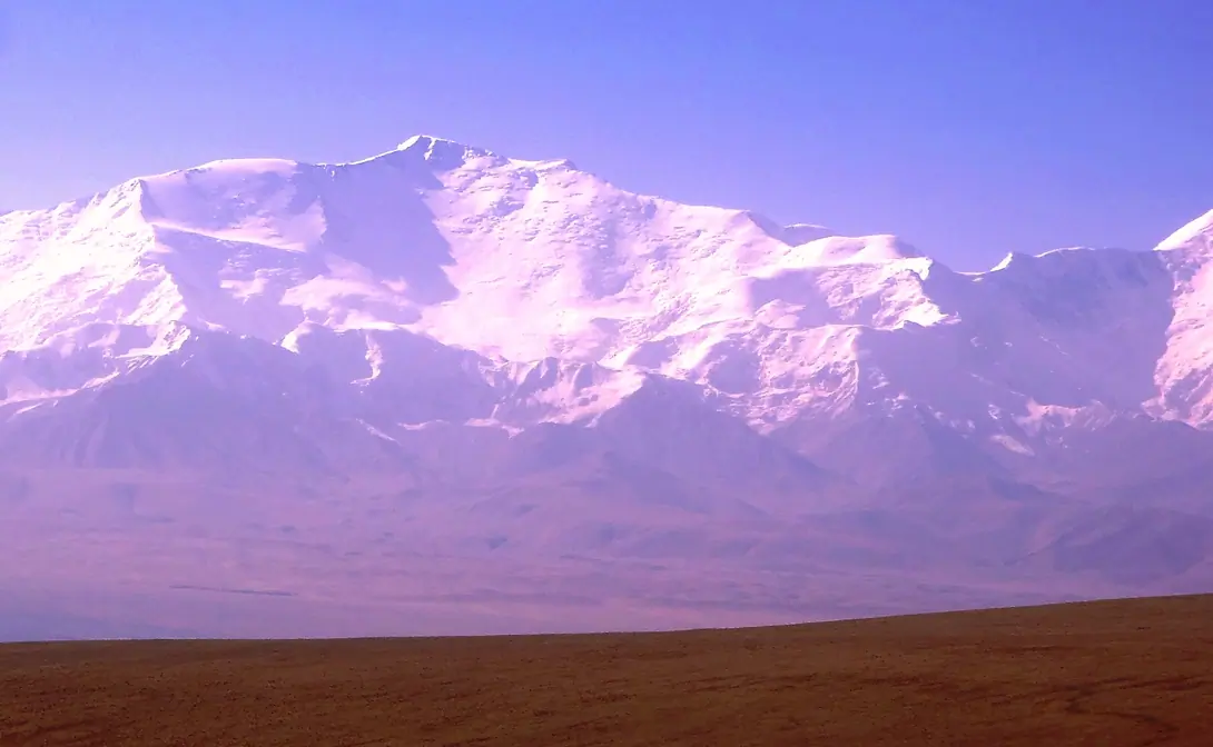
In the morning, transfer to the village Sary-Tash. The newly paved road goes to the South, accross the high range of the Pamir Alay. The highest point of the day will be the Taldyk pass at 3588 meters altitude. Here we are in the middle of the Alayski range! Some km after the pass, you arrive on the high plateau of the river Kyzyl Suu, sources of the Amur Darya river. The Sary Tash village is a crossroad between China, Tajikistan and Kyrgyzstan. (option : have bath at the Sanatorium of Jeli Suu; hike to Kolduk mountain's lakes)
Visual Journey notes
Along the route
Journey connections
Connect another day
Arriving here

Manas International AirportOsh
Arslanbob villageOsh
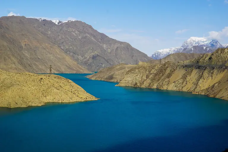
Arkyt villageOsh
Continuing from here
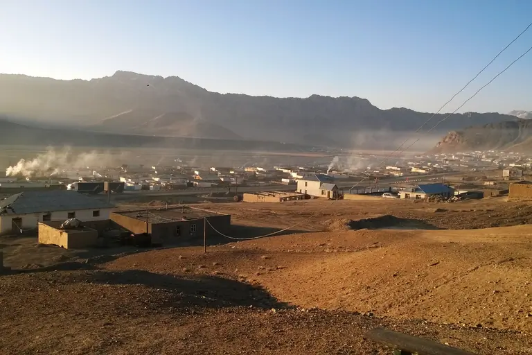
Sary-TashMurghab
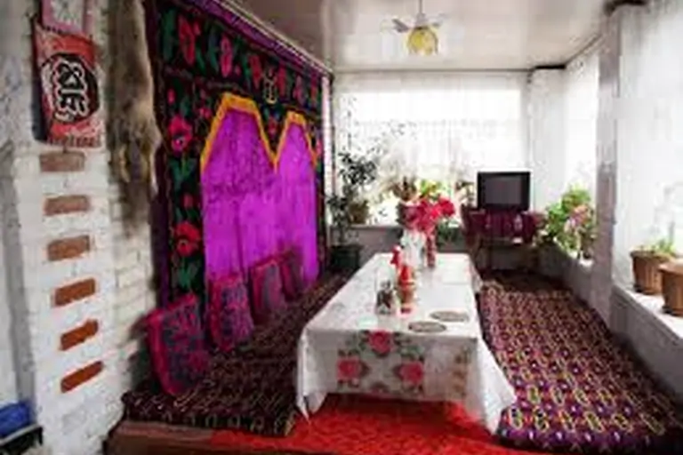
Sary-TashKashgar
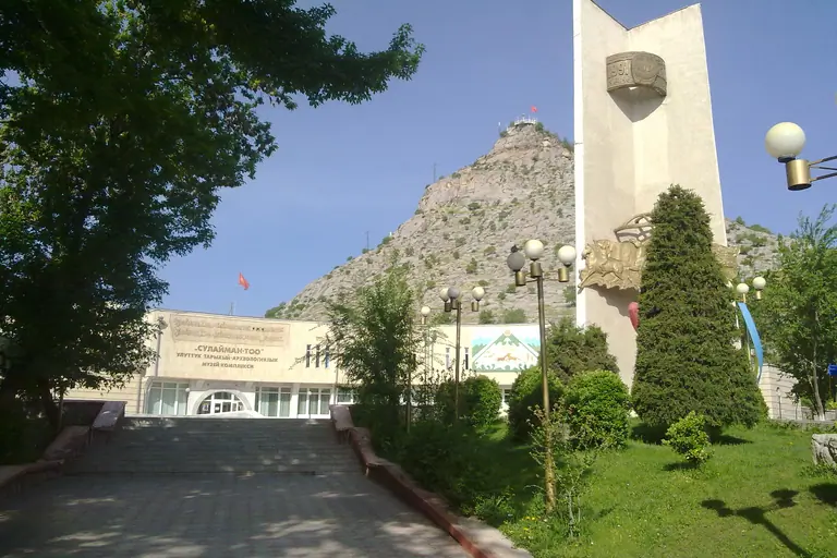
Sary-TashOsh
Roadbook
Add this Journey to your Roadbook
Use this one-day Journey as a building block, then continue from its destination.