Sights

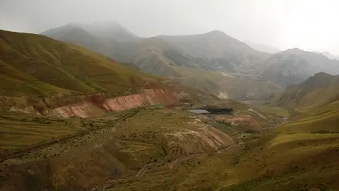
Utch Kochkon valley

This valley lies on the southern flank of the Ak-Shyyrak mountain range. 

In Soviet times there was an important center for geologists. Today, hardly any ruins remain, and the place is rarely visited by travelers. 

The animal life is very wild, and you will undoubtedly see herds of Marco Polo or Ibex.

Karakol
Kyrgyzstan

Taragaï

Taragay the river is the union of the Kumtor River and Arabel Suu. She then takes the name of Naryn river when she meets the Karasay.

Jyrgalan
Kyrgyzstan

Aalam Ordo

Aalam Ordo is located along the road on the southern shore of lake Issyk-Kul 5 kilometers east of Kaji-Say, between the main road and the beach. 

Cholpon-Ata
Kyrgyzstan

Paterbashik lakes

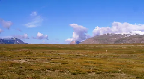
The 2 endoheric Paterbashik lakes are located on a high plain north of the Borkoldoy range, where the Tez river originates. 

The larger one, which stretches for 2.3 km, is to the west of the road leading to Uch-Kochkon, and the other smaller 670m. is on the east side of the road.

Jeti-Ögüz
Kyrgyzstan

Kumtor valley

The waters of the river Kumtor come from melting glaciers in the northwest of the mountain range Ak-Shirak. It loses its name as soon as it meets the river Arabel Suu and takes the new name Taragay.

Ak-Shyyrak
Kyrgyzstan

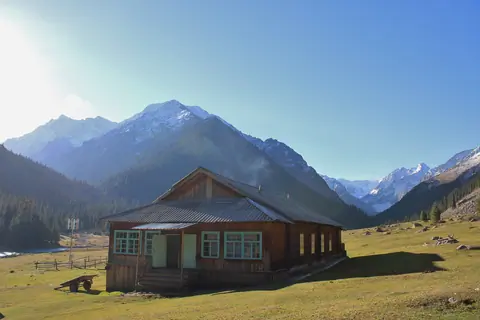
Chong Kyzyl Suu meteo station

The geophysical station in the valley of Chong Kyzyl-Suu was built in 1948 by Germans, who have been captured in Kyrgyzstan. At that time, there was no way for cars to get to the station, so they had to transport all building materials on camels. 

The purpose of the station was already then to observe the glaciers, mountains and the animal world. There worked hydrologists and geomorphologists from many different nations.

Chong Kyzyl-Suu
Kyrgyzstan