Sights

Manjyly-Ata valley

On the southern shore of Issyk-Kul, one kilometer east of Ton Bay, is the holy place "Manzhaly-Ata". Manzhyly-Ata became famous at the end of the 17th century, in the epic "Manas" he is mentioned as sacred to the Kyrgyz people. Although Manzhaly was the patron saint of nomadic pastors, he was a famous professor of Sufism, who during his lifetime spread Islam among the Kyrgyz nomadic pagans.

Tosor
Kyrgyzstan
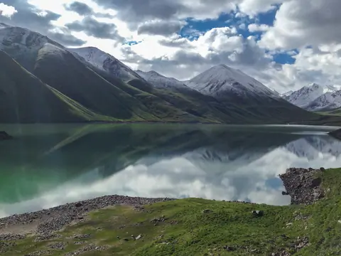
Kol-Ukok lake (Kel-Ukek, Kel-Ukok)

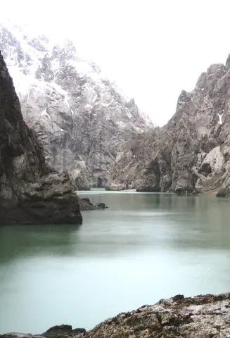
Kel Ukok Lake is a lake located 3048 meters above sea level south of the city of Kochkor. The lake was formed after the glaciers retreated, and its wall was formed by moraines. 

At the bottom, there are several small lakes in the moraine, then the first lake on the plateau is called Aral. The lake attached to Aral is Kel Ukok Lake which is 2330 meters long and 530-730 meters wide, and 72 meters deep. 

Kochkor
Kyrgyzstan

Kokkya canyon

The canyon of Kokkya (Kok-Kya or Kok-Kiya or Kökkyia) is located in the Ak-Say bassin of the Naryn region, at the distance of about 100 km from Naryn city. Meanders of the Kokkya river is about 40 km long, where series of cliffs cut the plateau of Kapshigay before to flew into the Kakshal river, some km before to cross the Chinese border. The river originates in the mountains of Köl Too and Sary Beles and the mystic lake Köl-Suu (Koel-Suu or Kel-Suu).

Naryn
Kyrgyzstan

Kirov reservoir

The Kirov Reservoir is located in the Talas region on the border of the Manas and Kara-Buura regions, in the Chon-Kapka Gorge. The main function of the installation is to irrigate the agricultural lands of the Talas Valley and Kazakhstan with water from the Talas River, accumulated in winter and spring.

Construction began in 1965 and was completed in 1975.

The height of the dam is 84 meters. The length along the ridge is 260 m, the length of the mirror is 22 km, and the width is 4 km.

Kirov
Kyrgyzstan

Kichi-Kyzyl-Suu

Discover the captivating Kichi-Kyzyl-Suu valley in Kyrgyzstan, named after the little red river that meanders through this 35-kilometre route. The valley is home to the Kichi-Kyzyl-Suu glacier and boasts peaks as high as 4,200 metres. Numerous small rivers, such as Kalya-Bulak and Chong Djaidektor, join the main river, adding to the valley's charm. While the highest peak bears the same name as the river, there are still 15 peaks over 4,000 metres awaiting their official names, the highest of which stands at 4,365 metres.

Kichi-Kyzyl-Suu
Kyrgyzstan

Kurgan Terek canyon (Konorchek canyon)

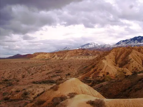
Explore the captivating Kyrgyz Creek Canyon, starting from the iconic "Red Bridge" train bridge. The canyon, carved by the Kurgan Terek River, features stunning red rock formations. 

The hike to the red part of the canyon takes about an hour, following a narrow path along the river where you'll occasionally need to walk in the water. It's advisable to avoid this hike during or after rain due to potential hazards. After an hour, the canyon opens up to reveal magnificent red towers reminiscent of the Creek Canyon. 

Kyzyl-Oy
Kyrgyzstan

Chychkan gorge

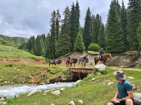
A 50 km gorge located north of Toktogul town on the M41 road. We stop there to eat trout or buy honey. The upper part is covered with meadow, while the lower part of the gorge is more humid and covered with deciduous and fir trees.

Chychkan
Kyrgyzstan