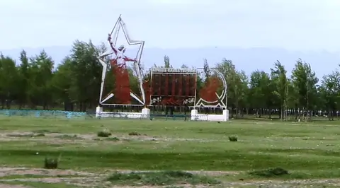
The first village on the beach, when you're arriving by the West of the South shore of the Issyk Kul's lake.
- Geo
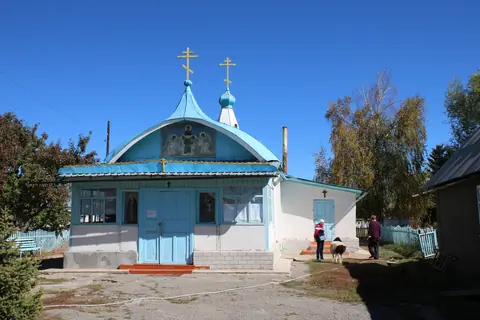
The first village on the beach, when you're arriving by the West of the South shore of the Issyk Kul's lake.
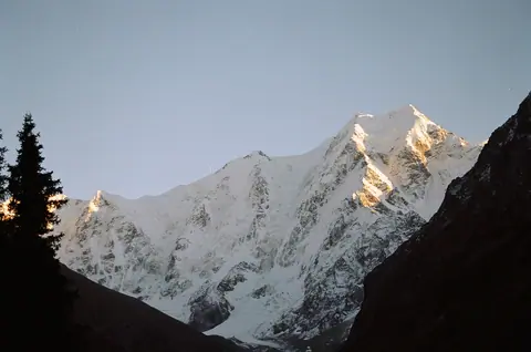
The Oguz Bashi mount is situated at the top of the Jeti Oguz valle and culminates at 5168 meters altitude.
Jeti-Ögüz
Kyrgyzstan
The chief-town of the district of Jeti Oguz, one of the largest district of Kyrgyzstan. With 5000 inhabitants it is a quite big village. Kyzyl Suu is situated 10 km away from Issyk-Kul-Lake.
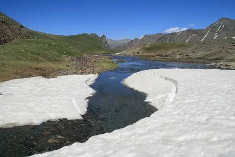
The waters of the river Kumtor come from melting glaciers in the northwest of the mountain range Ak-Shirak. It loses its name as soon as it meets the river Arabel Suu and takes the new name Taragay.
Ak-Shyyrak
Kyrgyzstan
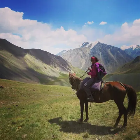
A nice campsite in the serene beauty of Kosh-Moynok, a hidden gem nestled in Kyrgyzstan's Kitchik-Alay valley - Surrounded by juniper forests, it's a summer pasture for nomadic herders and a haven for outdoor enthusiasts with its towering peaks, including Kosh-Moynok mountain, higher than 4930 meters, in the heart of the Pamir range.
On the south west side of our camp the Ming Teke peak stands like a gendarme above our heads, and culminates at 4114 m., the name means the thousand goats in Kyrgyz language.
Sary-Mogol
Kyrgyzstan
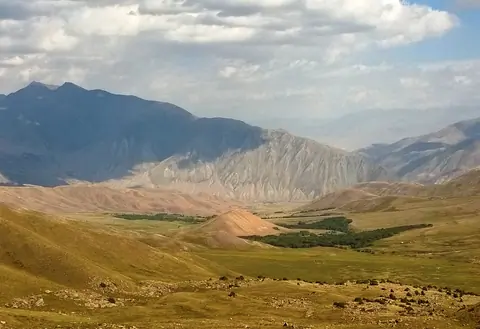
This pass is aptly named "passage to the lake", it connects Lake Issyk Kul and Lake Kel Kogur by an old trail first marked by the caravans of the Silk Road. To the north, the Chong Kemin National Park and its verdant forests, its wide flowering meadows. In the South, an arid land, a mix of meadows and desert areas, to the shore of Lake Issyk Kul.
Karakol
Kyrgyzstan
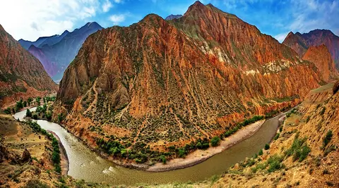
A small village in the heart of the Kekemeren canyon, with red rocks landscape. A nice place to start a trek or horseback riding to Suusamyr valley.
The junction between the Karakol valley and the Teleti gorge.
In the Karakol National Park, the landscape is very alpine, rocky and covered with forests. There are good places to pitch your tent, but be careful not to do too close to the rivers. Heavy rains at the end of the day, and the rivers overflowing.
From here you can reach Teleti Pass, or On Tor pass, or Ala-Kul Lake, or simply walk down till Karakol. In winter, the place is also accessible on horseback, and allows to practice ski touring.
Karakol
Kyrgyzstan
Sary Kamysh pastures lie on the border of Jalal Abad and Naryn oblast. The region is sparsely inhabited and road access is very difficult. This is what makes the place exceptional. It is accessed from Kyzyl Oy by the Kyrk Kyz pass 3223 meters above sea level and from the west from the village of Toluk, and the Tör Jayloo pass at 2465 meters above sea level. A road descends to the south to join the Kekemeren (Kökömeren) river and its magnificent red sandstone canyon.
Song Kul lake
Kyrgyzstan
A difficult road cross this pass, through the Terskey Alatoo and permit to link the south shore of the Issyk Kul's lake to the Djiluu Suu valley.
The pass is not opening by the government, so it means you can maybe pass between snowfalls, and with a very good 4x4 car.
Tosor
Kyrgyzstan