Pass
Kel-Tor pass
- Place type
- Pass
- Elevation
- 3350 m
Field notes
The field account
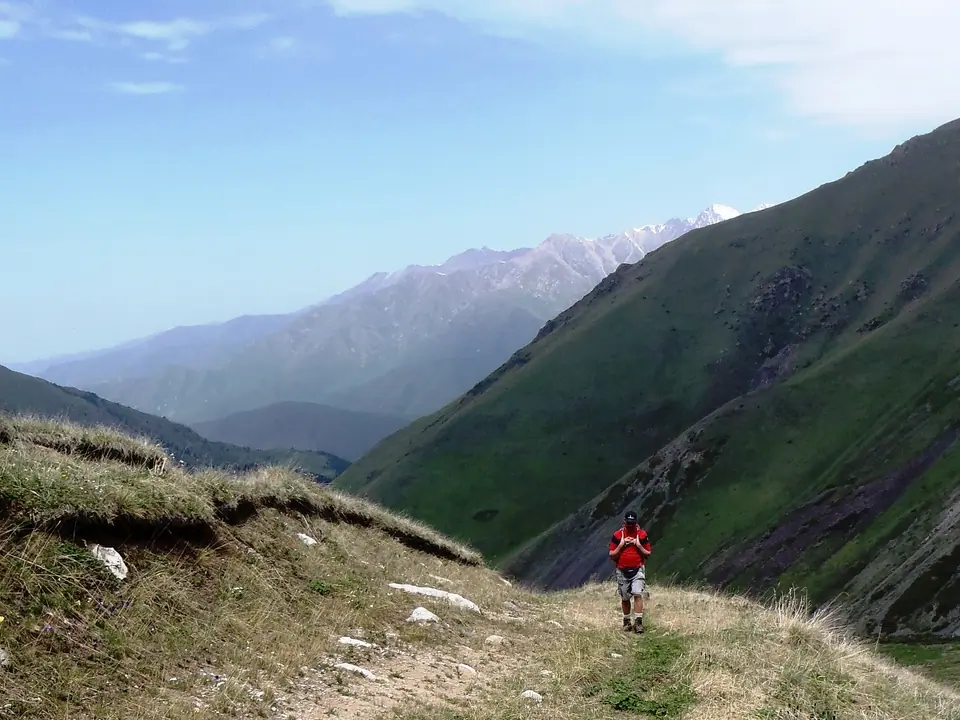
This pass is aptly named "passage to the lake", it connects Lake Issyk Kul and Lake Kel Kogur by an old trail first marked by the caravans of the Silk Road. To the north, the Chong Kemin National Park and its verdant forests, its wide flowering meadows. In the South, an arid land, a mix of meadows and desert areas, to the shore of Lake Issyk Kul.
Map margin
Where it sits
Visual field notes
A closer look