Small Naryn valley
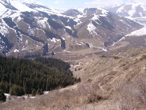
A beautiful gorge full of pine forests. The river is a confluence of the Naryn River.
Naryn
Kyrgyzstan
A beautiful gorge full of pine forests. The river is a confluence of the Naryn River.
Naryn
Kyrgyzstan
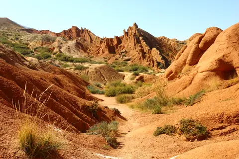
The canyon was named because of its bizarre rocky landscape, which for many years has been transformed by erosion into amazing sculptures and formations. Some formations look like The Great Wall of China and you can also find other formations that look like snakes, dragons, sleeping giants and even whole castles. From the canyon you can see a majestic panorama of Lake Issyk-Kul and snow caped mountains. It’s an excellent destination for children and adults because it’s an easy hike close to Lake Issyk-Kul.
Tosor
Kyrgyzstan
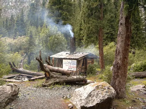
A small hut built by local alpinist during the Soviet Union. There absolutely no comfort but the place around is popular for installing camp tents.
Karakol
Kyrgyzstan
The northern gorge of Shamsi is located 85 km from Bishkek and allowed caravans to cross the Kyrgyz Alatoo range and thus created a link between the city of Balasagun in Kochkor. Archaeological excavations have also revealed a Buddhist cemetery and a unique golden mask dating from the 4th to the 5th century AD. The Shamsi mask is embellished with three tree patterns created by a series of perforations highlighted with white pigment. Two of the trees cover the cheeks while the third was placed all over the nose and the middle of the forehead.
Shamsi
Kyrgyzstan
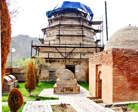
At the bottom of the hill Archa-Mazar and on the Road of the Silk in antiquity and Middle Ages; the sacred complex includes buildings of different chronological periods. The mausoleum of Shah-Fazil occupies the southeast corner and dates from the epoch of the expansion of Islam in the 9th and 10th centuries. He differs from other mausoleums by decoration in unique stucco in Central Asia. In the court, a headstone of phallic form is as found there as they call "the stone of fertility» or Tash-Mazar.
Ala-Buka
Kyrgyzstan
The Semenov Valley and its gorges (Kichi Ak-Suu), about 35 km long, are located 40 km east of the town of Cholpon-Ata. In the valley flows the Kichi Ak-Suu river, and its main tributaries are the Sut-Bulak, Ashutor, Bel-Bulak, Chong-Kugantyr and Djol-Karagay rivers which meet at a place called "Kyrchyn". Most of the tributaries originate from the glaciers of Kungey Alatoo. The river flows into Issyk Kul Lake.
Semenovka
Kyrgyzstan
Sarychat-Ertash Nature Reserve was founded in 1995 for the protection of high altitude ecosystems and its fauna, in particular the snow leopard and its prey.
The total area is 1341 km² (518 mi²), making it one of the most important parks in Kyrgyzstan and Central Asia. It is located in the southeast of the Terskey Alatoo mountain range. Most of the park is made up of the Ak-Shirak massif and its high tundra.
Authorization to visit the park is difficult because access is only allowed to teams of scientists coming to study the flora and fauna of the park.
Ak-Shyyrak
Kyrgyzstan
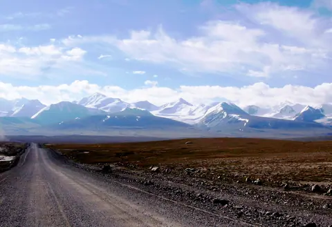
Small village of yak breeders, located at the crossroads with China and Tajikistan on the Silk Roads. Sary Tash means in Kyrgyz "the yellow stone". From the village, there is a panoramic view of the Zalaïskiy mountain range. To the west where the waters of the Kyzyl-Suu river flow towards Djirgatal in Tajikistan, we can see the Lenin peak rising to 7134 meters above sea level.
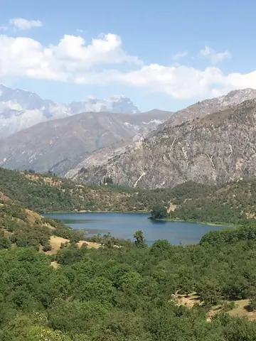
The State Nature Reserve of Sary-Chelek was created in 1959, a biosphere located between the Chatkal and At-Oynok ridges in the Jalal-Abad region, from 1200 to 4247 meters altitude. In 1978 it was declared as a World Biosphere reserve by UNESCO.
The largest lake named also Sary-Chelek is situated at 1874 meters above the sea level, with an area of 470 hectares and a depth of 234 meters.
Arkyt
Kyrgyzstan
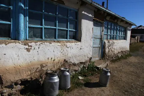
Small village at the crossroad of the Song Kul's road and Naryn.