Sary-Mogol lakes
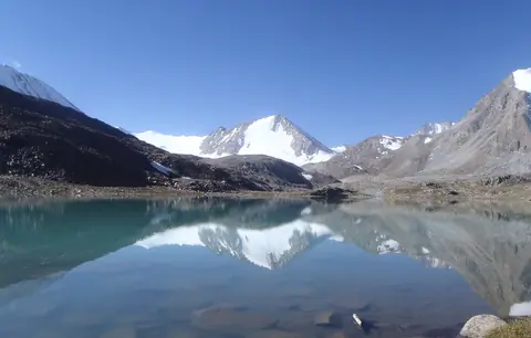
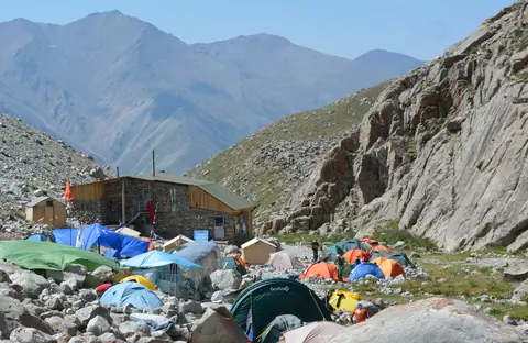
Campsite at the footsteeps of glaciers and pass Sary Mogol, (South side), where staying many lakes.
Sary-Mogol
Kyrgyzstan
Campsite at the footsteeps of glaciers and pass Sary Mogol, (South side), where staying many lakes.
Sary-Mogol
Kyrgyzstan
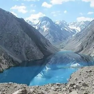
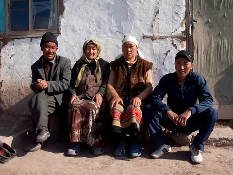
The small village of Sary Mogol is located opposite the famous Lenin peak, on the right bank of the Kyzyl-Suu river which forms the majestic valley of Alay, 180 km long. The glaciers of the Zaalayskiy ridge here form the sources of the great Amu-Darya river, which supplies water to most of the territories of Tajikistan, Uzbekistan and Turkmenistan. By Stalin's clumsiness, the Kyrgyz people of Sary Mogol were cut in two by the Tajik border. Before the arrival of the Tsar, the Kyrgyz people occupied and still occupy the upper Tajik Pamirs.
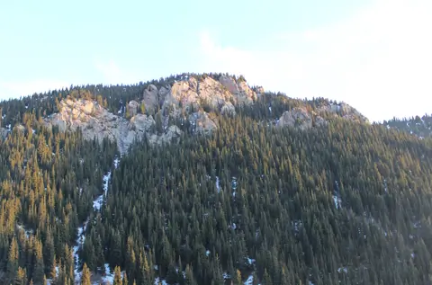
The Sarkent National Natural Park is located in the Bakten region, about 140 kilometers from the regional center - the city of Batken. The park covers an area of 40,000 hectares. "Sarkent" is the ancient name of the settlement where nomadic Kyrgyz lived. But over time, people migrated to the plain, and the name "Sarkent" remained.
"Sarkent" is one of the newest state parks, it was opened in 2009.
This park is inhabited by animals listed in the Red Book: brown bear, snow leopard, lynx, golden eagle and others.
Kyzyl-Kiya
Kyrgyzstan
The San-Tash burial mound, which means "counting stones" or "reading stones" in the Turkish language, is located on the bank of the Tiup River, near the eastern border post with Kazakhstan A363, at an altitude of 1996 metres alt . Most of the Scythian tombs in the vicinity are dated to the 6th to 1st centuries BC. But the stone heap remains an enigma as it is linked to a legend of Tamerlane which was used to count the number of dead soldiers during battles.
San-Tash
Kyrgyzstan
Salkyn-Tor National Park is located on the forested northern slope of the Naryn Too mountain range about 18 km east of the town of Naryn. The park was established in May 2001 and has an area of 104 km². It can be reached easily by the road up the Naryn River. The entrance fee to the park costs $ 1 per person.
One of the objectives of the park is to increase the local population of Maral, which has declined sharply since independence. Other animals inhabit the forests of the Naryn Range include roe deer, Eurasian lynx, and brown bear.
Naryn
Kyrgyzstan
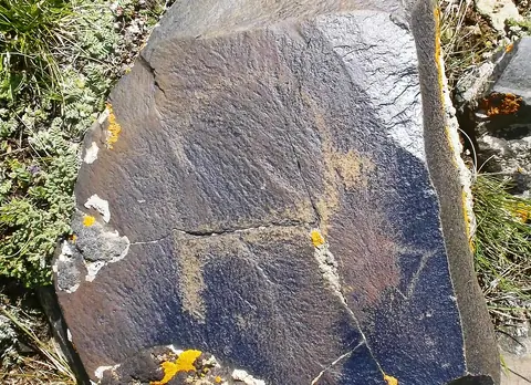
At Saimaluu-Tash there are many rocks of basalt. Paintings were drawn with iron and bronze instruments on the smooth surfaces of basalt, blackened by the sun.
The men scratched the scenes of life, hunting, displacements, ritual dances, different divinities, demonic dances, humanoid creatures with canine heads and hypertrophied arms.
Kazarman
Kyrgyzstan
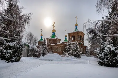
The story of the church goes back to July 1869, when Karakol was a garrison town on the edges of the Tsarist Russian Empire. The Karakol church, however, was destroyed in an earthquake in 1889, which caused havoc in the town and took several lives. It took six years to complete, and was finally consecrated in 1895. It has seen considerable service, not just as a church.
Karakol
Kyrgyzstan
Ratsek Hut is located on the moraines of Ak-Saï Glacier (confluence gorge east of Ala-Archa Gorge) at an altitude of 3383 meters. Vladimir Razek (1918-1980) launched its construction at the end of the 1930s when he headed the Kyrgyz Alpine Club.
Ala-Archa
Kyrgyzstan
The Pyramidal peak is located on the crest of the Turkestan chain belonging to the Pamir-Alai massif. It is a monolithic granite mountain that attracts experienced climbers on mixed routes. It lies between the border of Tajikistan and Kyrgyzstan and 9 lanes have already been opened on the Kyrgyz side. The approach is made by going up the valley of Kara-Suu and by the glacier of Asan-Usin. The area is known as Karavshin, the valley that brings together the rivers surrounding the peak. It is the second highest peak in Turkestan after Skalisty peak, which is 5,612 meters high.
Karavshin
Kyrgyzstan
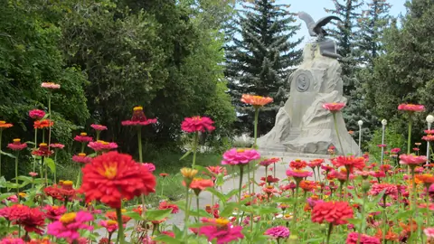
Nikolay Mikhailovich Przhewalsky was one of the first Russian Geographer who started studying in detail the geography, flora and fauna of the Central Asia. Beginning from 1870, he arranged 4 large expeditions to Mongolia, China, and Tibet.
During his expeditions, he revealed the exact directions of the mountain ranges and borders of the Tibetan Mountains. Przhewalsky collected an enormous zoological collection, which comprised several thousand of species of plant, animals, birds, fishes and insects.
Karakol
Kyrgyzstan