Manual
Reading topographic maps
A Russian reference for interpreting symbols on maps at 1:25,000, 1:50,000 and 1:100,000. Explore roads, water, relief and vegetation in the original 1983 manual, with an English guide to the useful sections.
Russian · 118 pages · PDF · 8.76 MB
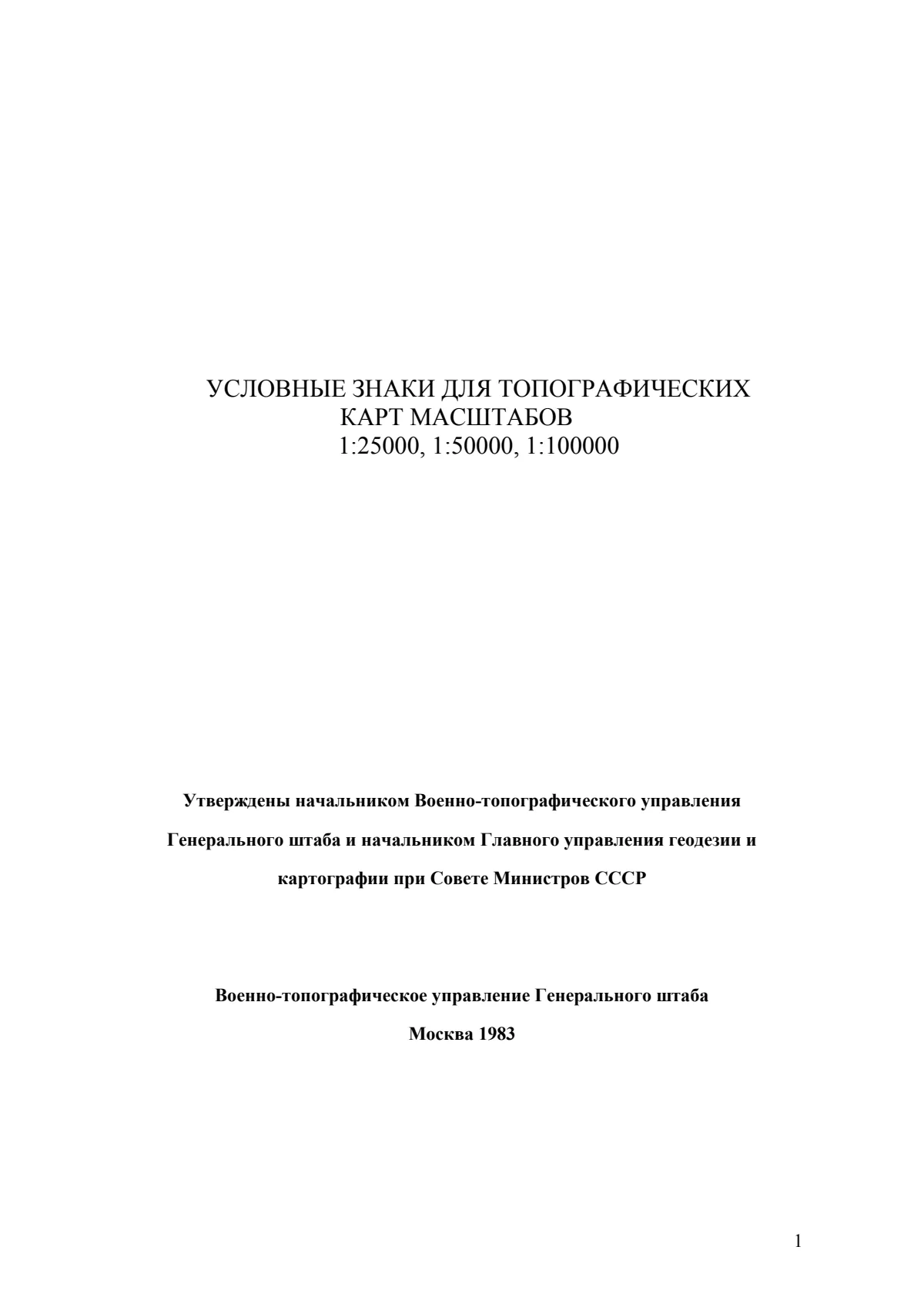
Start with this
Read the shape of the land
The relief tables begin on page 39. Compare the symbol and its Russian explanation across the scale columns before looking for it on a map. This manual is a reference to a particular mapping tradition; always compare it with the legend of the map in use.
Discussion prompt
Which marks describe the terrain itself, and which describe something built on it?
Source: page 39 of the manual.
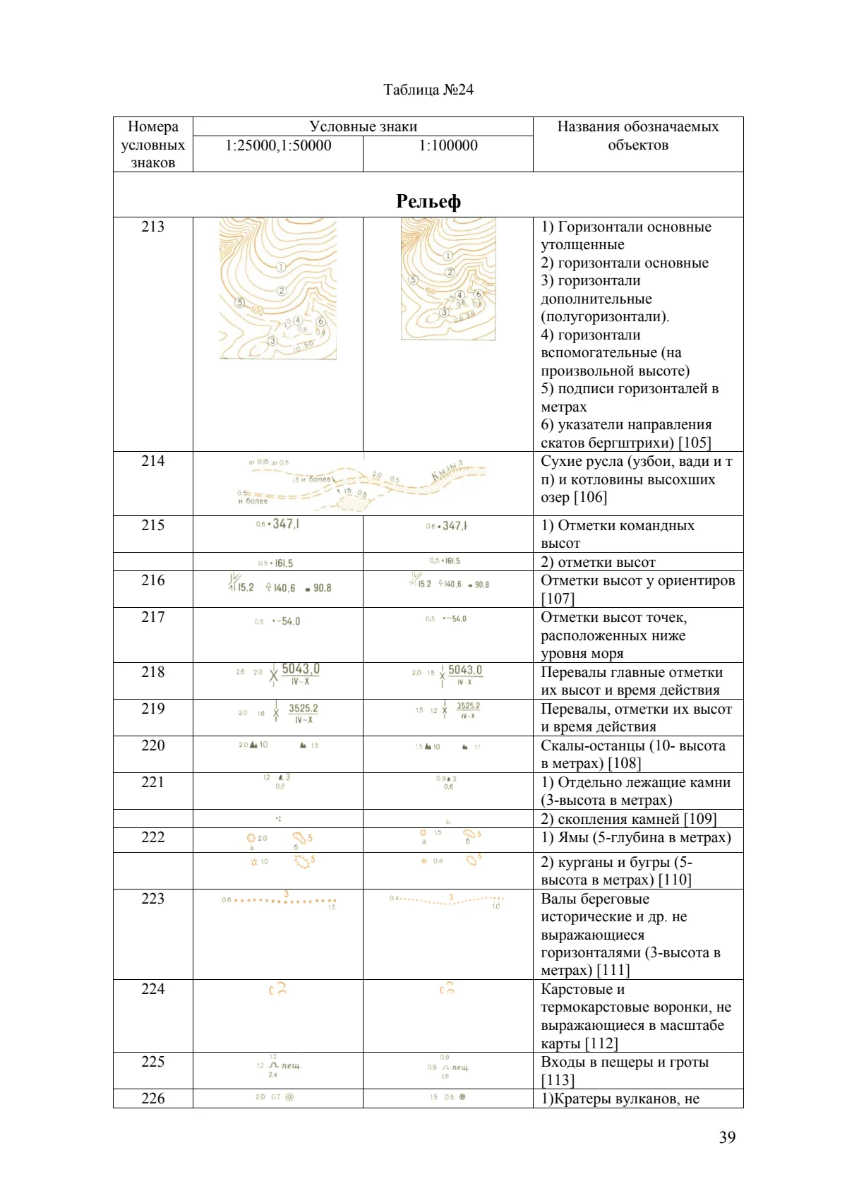
Find your starting point
Inside the material
Choose a section to inspect a sample page. The full PDF opens only when you follow a PDF link.
Understand the manualp. 03
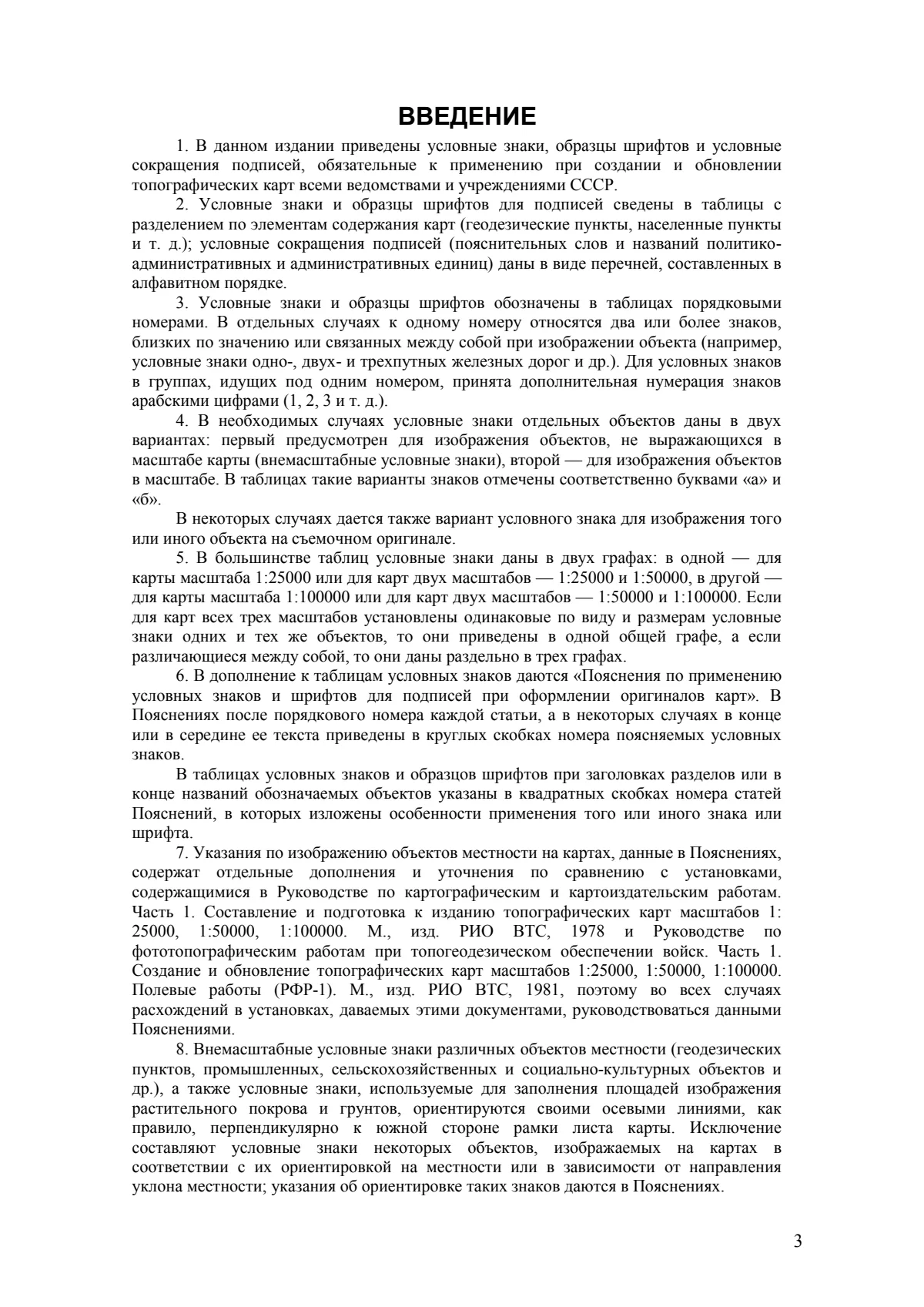
Survey points and settlementsp. 05
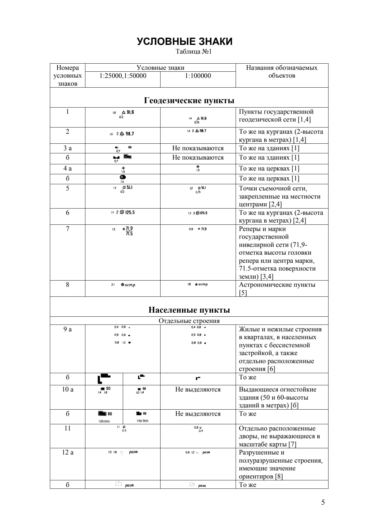
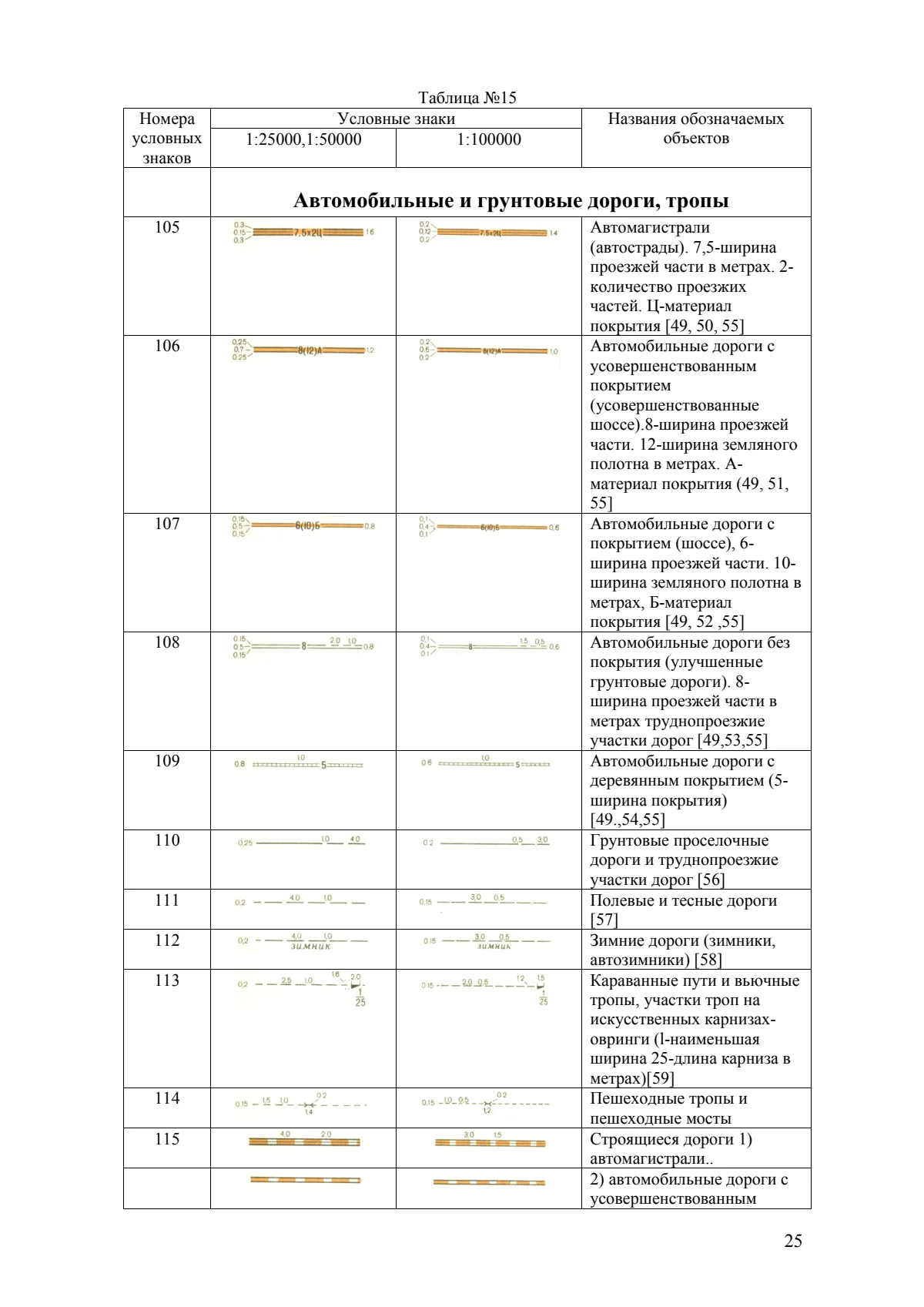
Roads and tracksp. 25
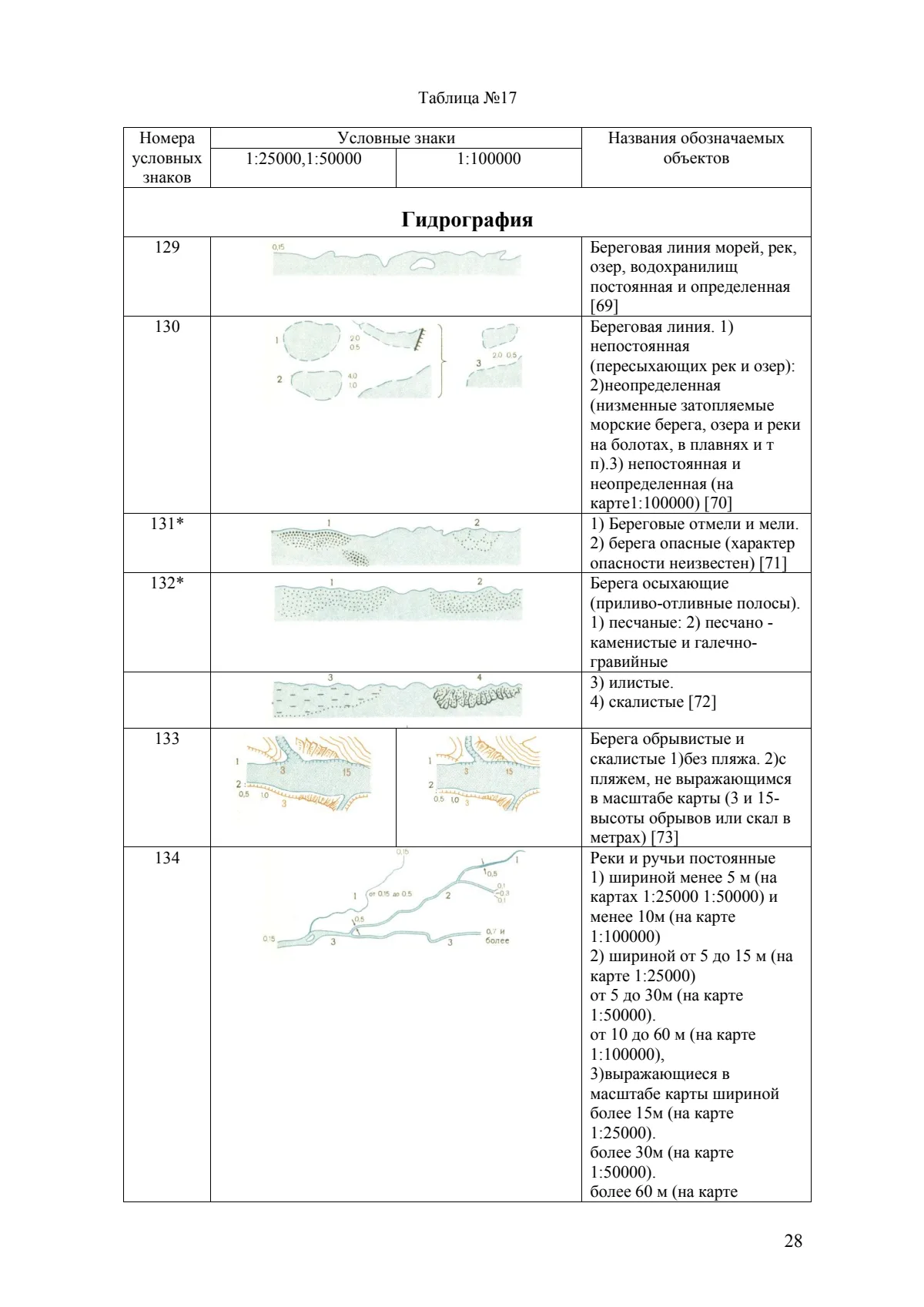
Rivers, lakes and water featuresp. 28
Reliefp. 39
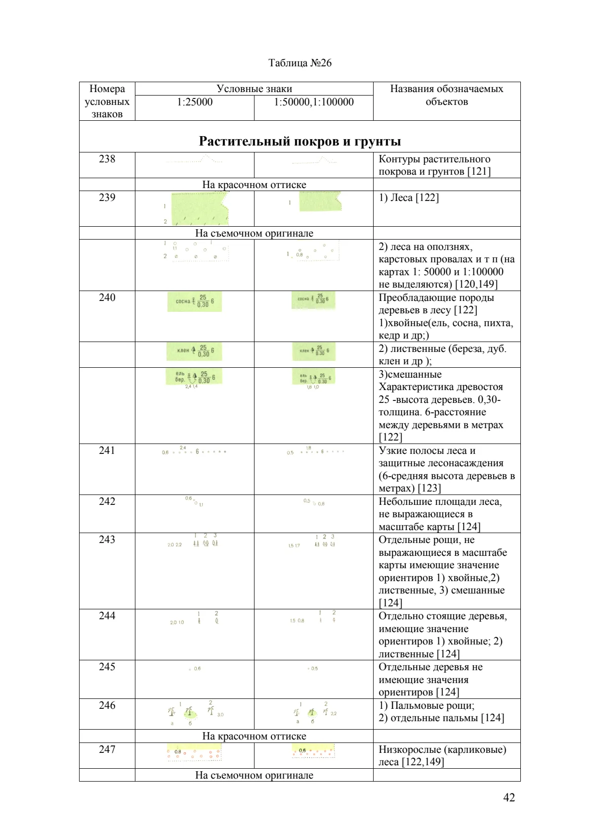
Vegetation and ground coverp. 42
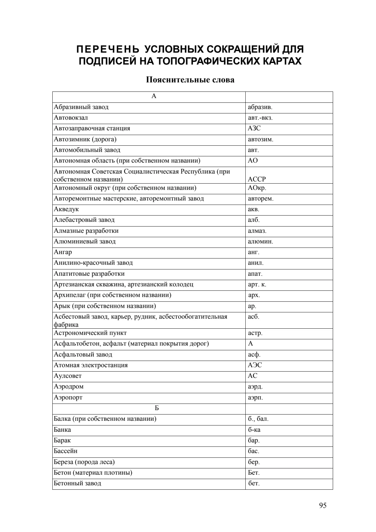
Look up abbreviationsp. 95
Original Russian manual: Условные знаки для топографических карт масштабов 1:25000, 1:50000, 1:100000, Moscow, 1983; cover credits the Military Topographic Directorate of the General Staff. Retained unchanged from the training archive. Its historic map conventions are not presented as a current universal standard. The English section guide and discussion prompt are editorial additions.
Use together
Supporting material
Resource record
- Educational use
- Map-symbol reference and instructor-led map reading