City
Karakol
Karakol at the edge of the Tien Shan
- Territory type
- City
- Elevation
- 1780 m
Territory notes
The field account
Karakol is a city/gateway within Issyk Kul region, used to organize journeys, places and route context.
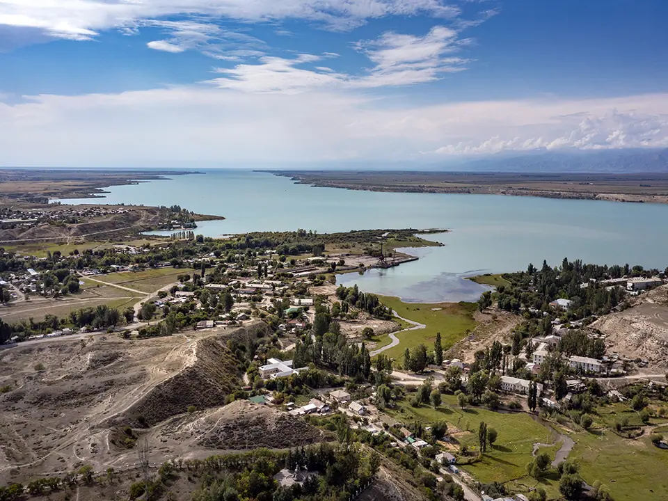
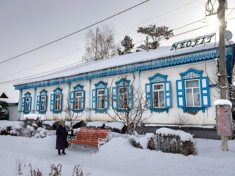
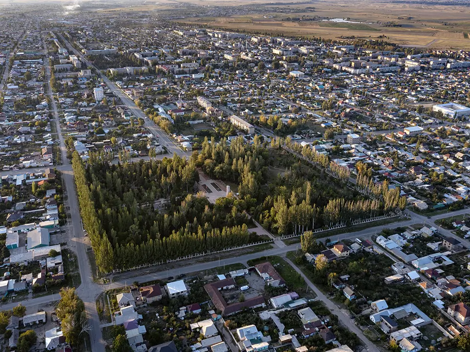
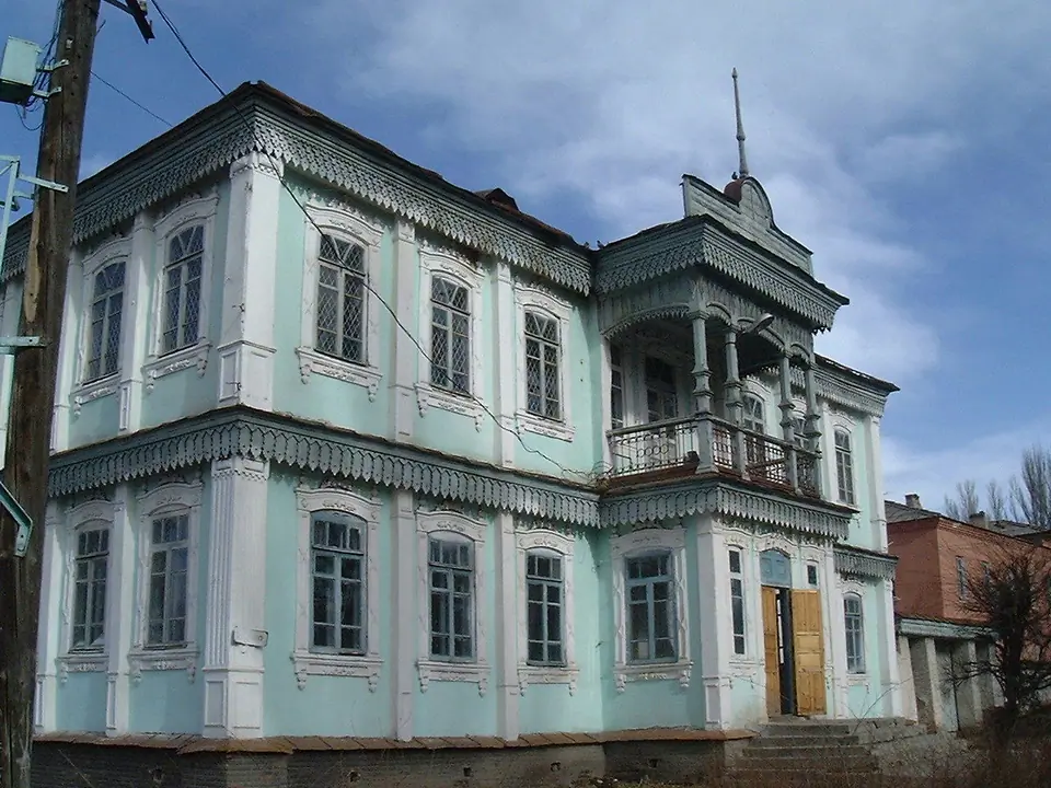
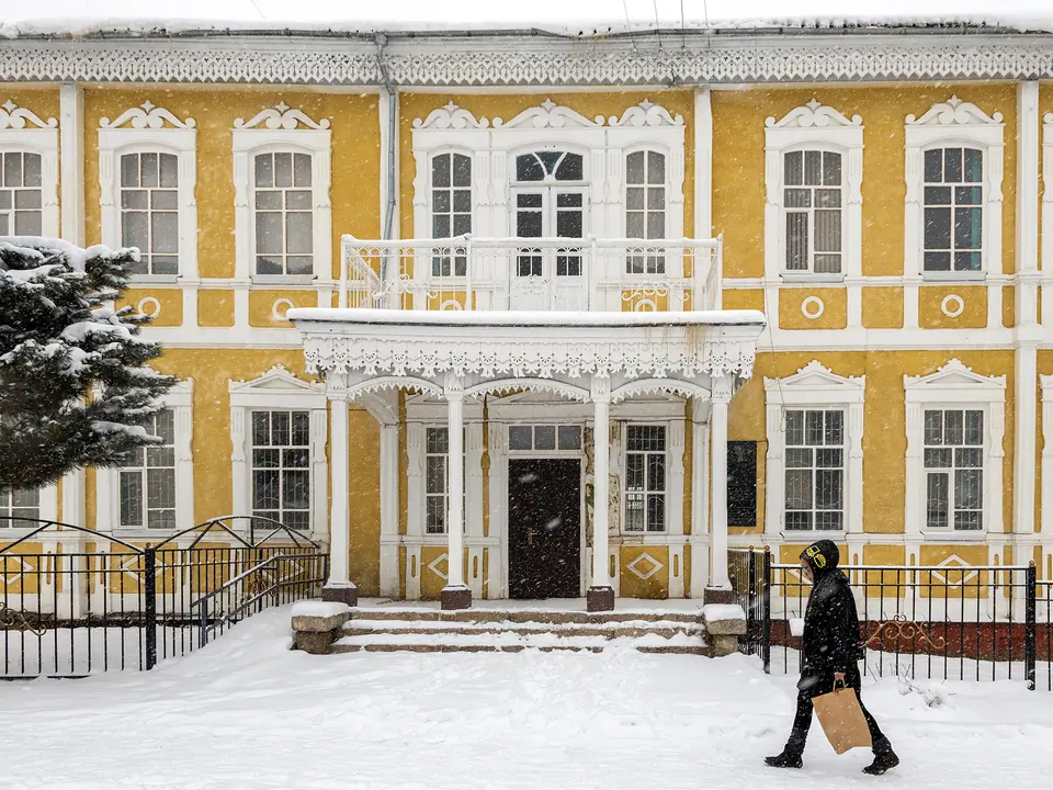
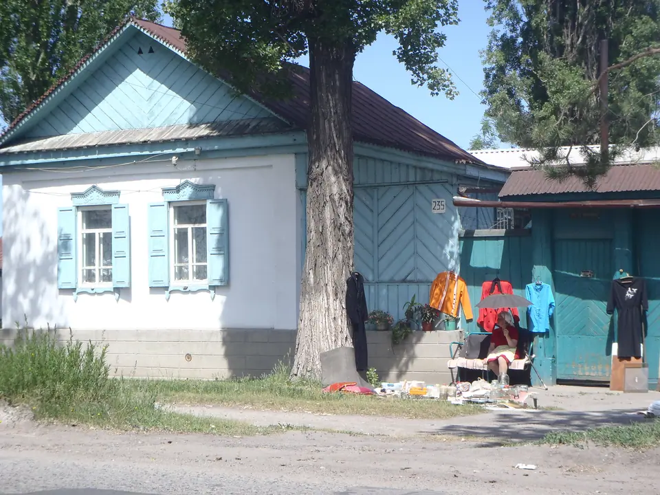
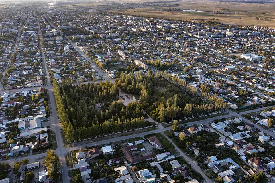
At the eastern tip of Lake Issyk-Kul, Karakol is a fertile garden town of wooden chocolate-box cottages and shady, poplar-lined avenues. Fringed to the east by the Terskey Ala-Too Mountains, which tower dramatically over its low-rise skyline, Issyk-Kul ripples 10 km to the west.
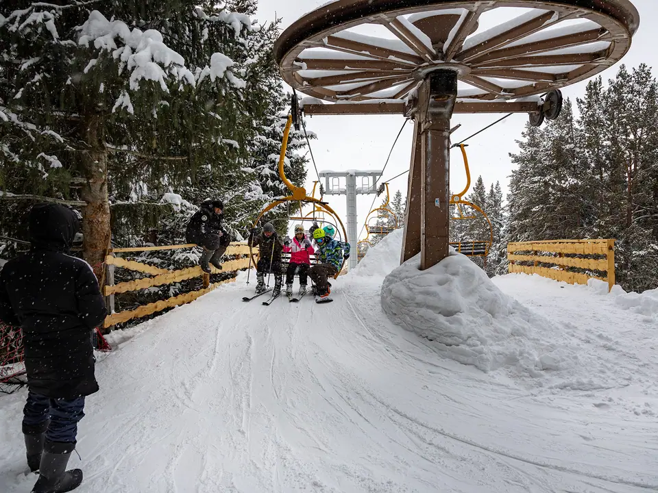
Karakol is the best base from which to explore the lakeshore and Central Asia's prime trekking and mountaineering routes. With the most spectacular parts of the Central Tien-Shan right on its doorstep and newly open to foreign visitors, the town attracts trekkers, hikers and climbers from all over the world.
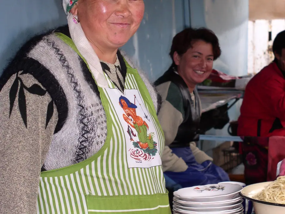
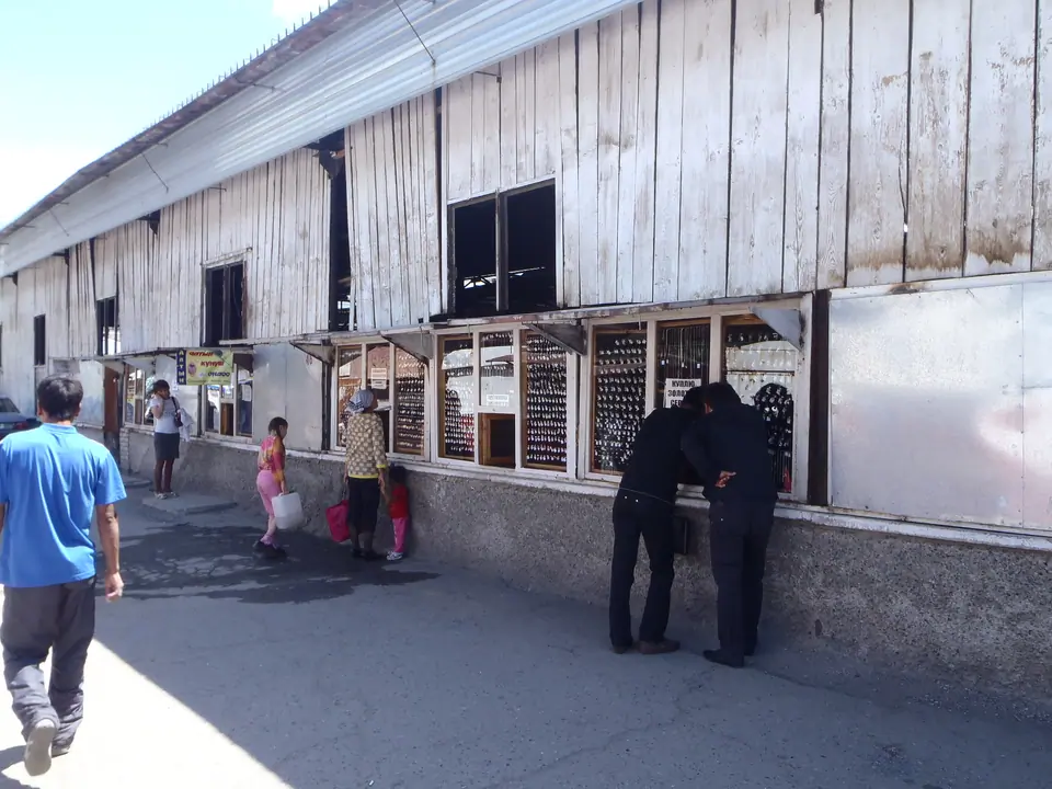
Karakol and its surroundings have just as much to offer their less energetic visitors. Besides one of Kyrgyzstan's largest and most colorful bazaars, a nomadic livestock market and several good museums, its spectacular environs boast an endless array of truly unique day trips. Blood-red cliffs, hot springs, Scythian burial mounds, nomad camps and sandy beaches thousands of miles from the sea are all within easy reach.
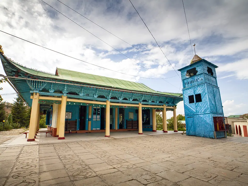
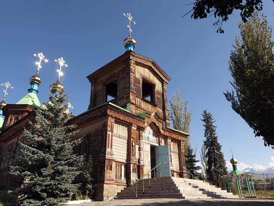
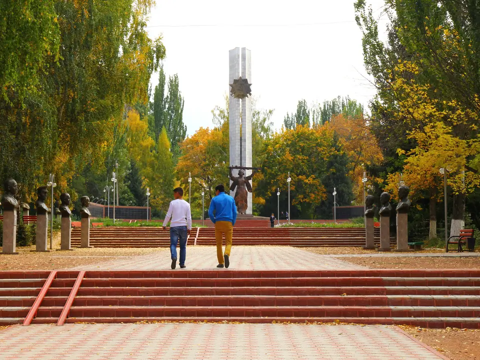
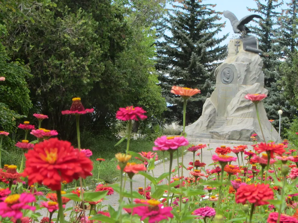
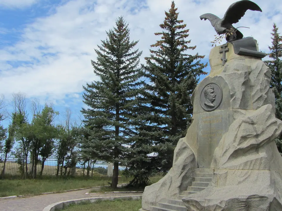
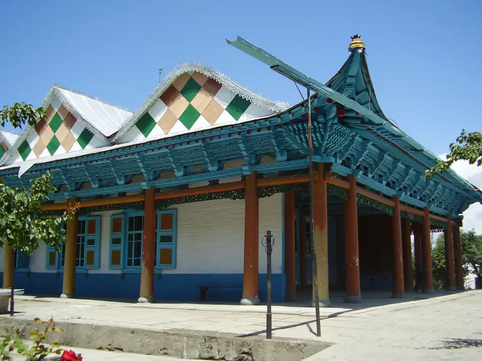
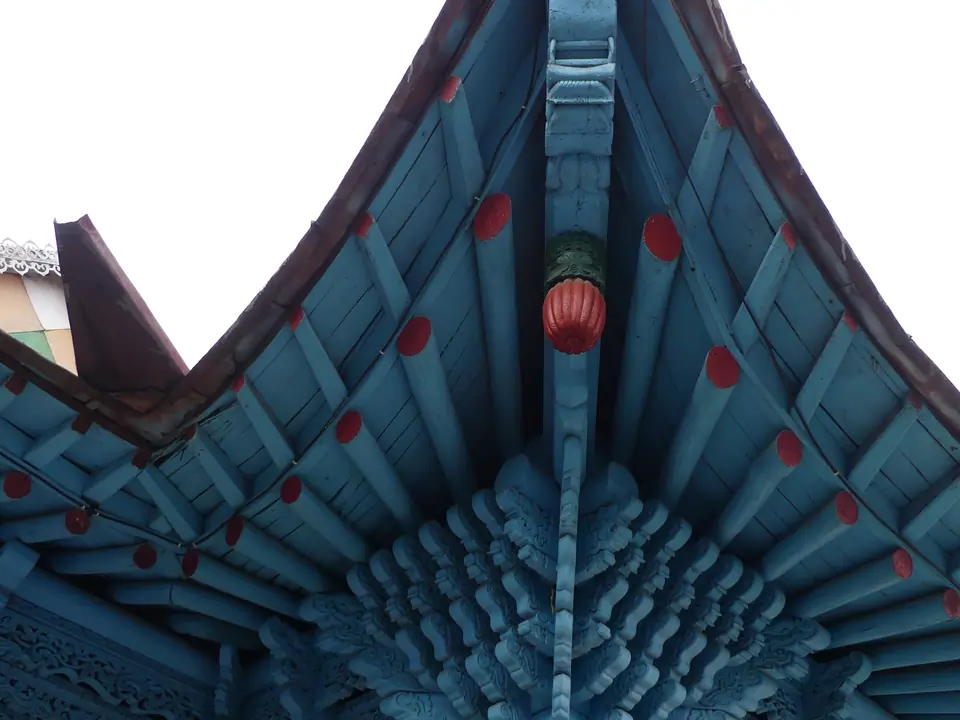
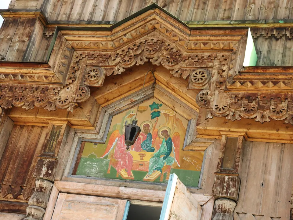
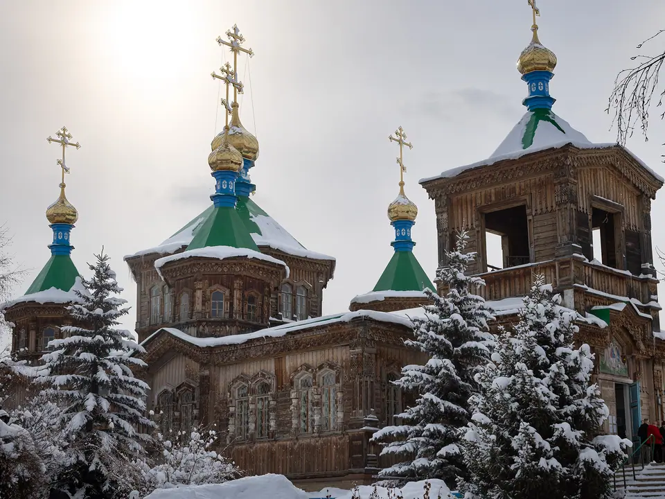
The town was build since 1869, one year after Teplokluchenka (actually name Ak-Suu). There is a unique building in the center of Karakol - ancient wooden orthodox church. But you may visit also the zoo, the regional museum, the wooden mosque, the Panfilov park, the Park Victory, the museum and memorial Prejwalski.
Despite Karakol's status as the administrative center of the Issyk-Kul region, it has only 75,000 residents and a gentle, small-town atmosphere.
Map margin
Where it sits
The map marks an orientation point for this territory; it does not describe its boundary.
Geographic index
Within this territory
39 destinations in the catalogue
-
Pushkin Park
Sight · 1769 m
-
Tatar mosque
Sacred Place · 1749 m
-
Hippodrom
Sight · 1835 m
-
River Park
Sight · 1782 m
-
Victory Park
Sight · 1778 m
-
Ak Tilek market
Bazaar · 1745 m
-
Animal market
Bazaar · 1700 m
-
Historical and Ethnographic Museum of Karakol
Museum · 1800 m
-
Russian Orthodox Holy Trinity Cathedral
Sacred Place · 1760 m
-
Design Museum
Museum · 1680 m
-
Turdubekov Memorial Museum
Museum
-
Soviet Hero Borisovna Museum
Museum
-
Asankanov Historical Museum
Museum
-
Keremet Historical Museum
Museum
-
Muras Museum of History and Local History
Museum
-
Muras Museum
Museum
-
Ybrai Sooronbaev Museum
Museum · 1680 m
-
Altyn Uya Museum
Museum
-
Ethnographic Museum on behalf of Totubaev Ermek
Museum · 1950 m
-
Ethnographic Museum Barkan Mukashev
Museum · 1838 m
-
Sirota camp
Camp Site · 2950 m
-
Utch Kochkon valley
Sight · 3100 m
-
Teleti gorge West
Sight · 2800 m
-
Kel-Tor pass
Pass · 3350 m
-
Sirota hut
Sight · 2960 m
-
Teleti gorge
Sight · 2900 m
-
Przhevalsky museum
Museum · 1643 m
-
Ala-Kul lake
Lake · 3523 m
-
Merzbacher lake
Lake · 3320 m
-
Kalmak Ashuu
Pass · 3529 m
-
Alymbekov Historical Museum
Museum
-
Kashkator North pass
Pass · 3929 m
-
Bougou Ene Historical Museum
Museum · 1635 m
-
Rahat Kel lake
Lake · 3225 m
-
Bugu ene
Sight · 1770 m
-
National Park Karakol
Nature Site · 2000 m
-
Mokraya Polyana
Jailoo · 2300 m
-
Kashkator (Ashu Kashka-Suu valley)
Jailoo · 2900 m
Visual field notes
A closer look