Journey · 1 day
Alichur - Karakul
On the road from Alichur to Karakul lake
- Drive
- 240 km
- Season
- Year-Round
- Meals
- Breakfast · Lunch · Dinner
Journey route
The route
Journey notes
About this Journey
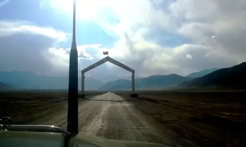
We leave the windswept village of Alichur, one of the coldest inhabited places in the former USSR, and set out toward one of the most dramatic stretches of the Pamir Highway. The road climbs gradually through the high plateau, where vast, rocky plains stretch beneath the towering peaks of the Eastern Pamirs. Wildlife like marmots and golden eagles may be spotted along the way, and the stark beauty of the landscape makes for frequent photo stops.
We arrive in Murghab, the administrative center of the Eastern Pamirs, and make a short stop to visit the local bazaar, where traders from across the region sell Chinese goods, household items, and locally made crafts. After a break, we continue our journey northward.
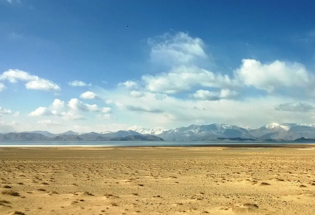
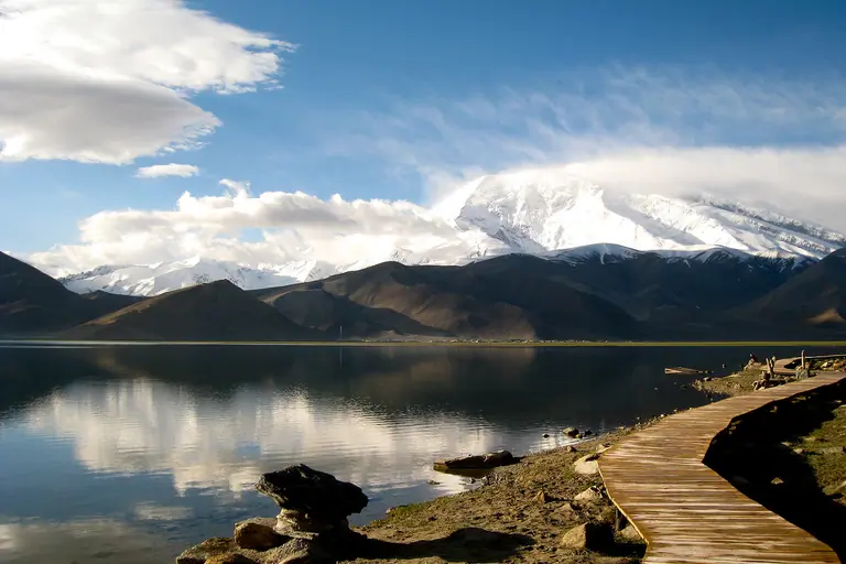
The road begins to rise again as we approach the Ak-Baital Pass, the highest point on any paved road in Central Asia, standing at 4,655 meters above sea level. The air is thin, the silence deep, and the views across the barren mountains unforgettable. Crossing the pass, we descend slowly toward the Karakul basin, where the vast Lake Karakul appears, shimmering under the open sky.
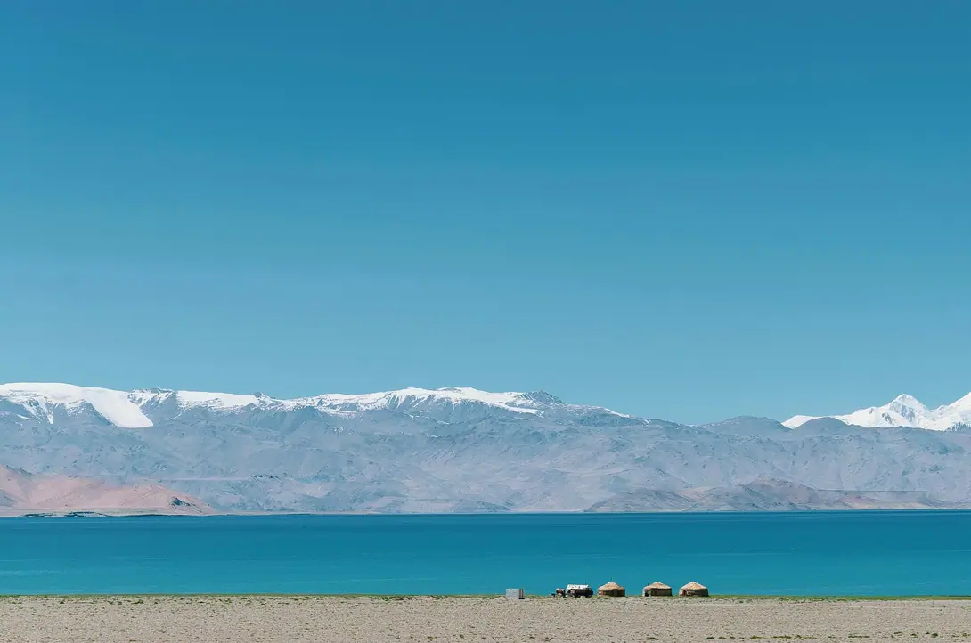
By late afternoon, we arrive in the isolated village of Karakul, perched at over 3,900 meters on the lake’s eastern shore. Night in a local guesthouse, where the simplicity of life is matched by the raw, untouched beauty of the surroundings.
Visual Journey notes
Along the route
Journey connections
Connect another day
Arriving here
Roadbook
Add this Journey to your Roadbook
Use this one-day Journey as a building block, then continue from its destination.