Journey · 1 day
Chong Kyzyl Suu meteo station - Chong Kyzyl Suu meteo station
Exploring the Kashkator canyon
Chong Kyzyl Suu meteo stationChong Kyzyl Suu meteo station
- Walk
- 10 km5 hr
- Season
- Year-Round
- Meals
- Breakfast · Lunch · Dinner
- Elevation gain
- 800 m
- Elevation loss
- 800 m
Journey route
The route
- 01
- 02DestinationChong Kyzyl Suu meteo station
Journey notes
About this Journey
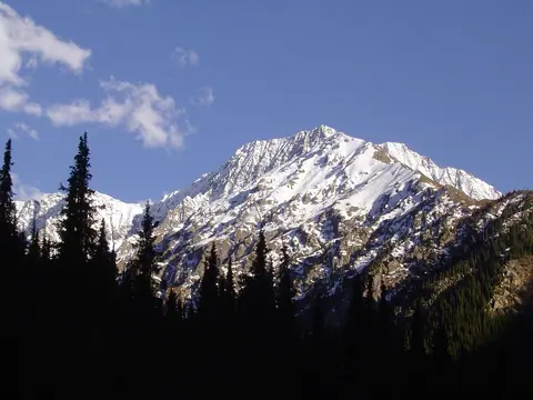
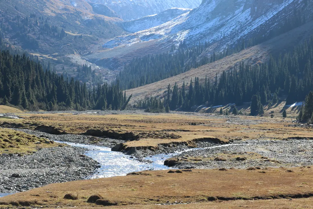
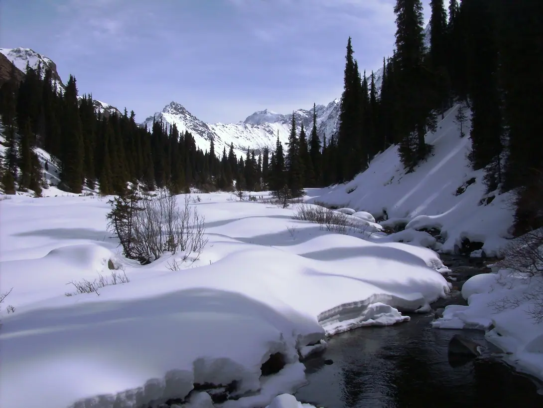
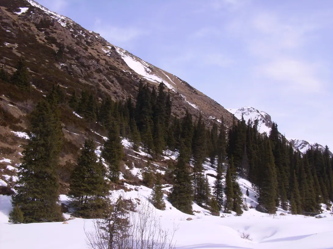
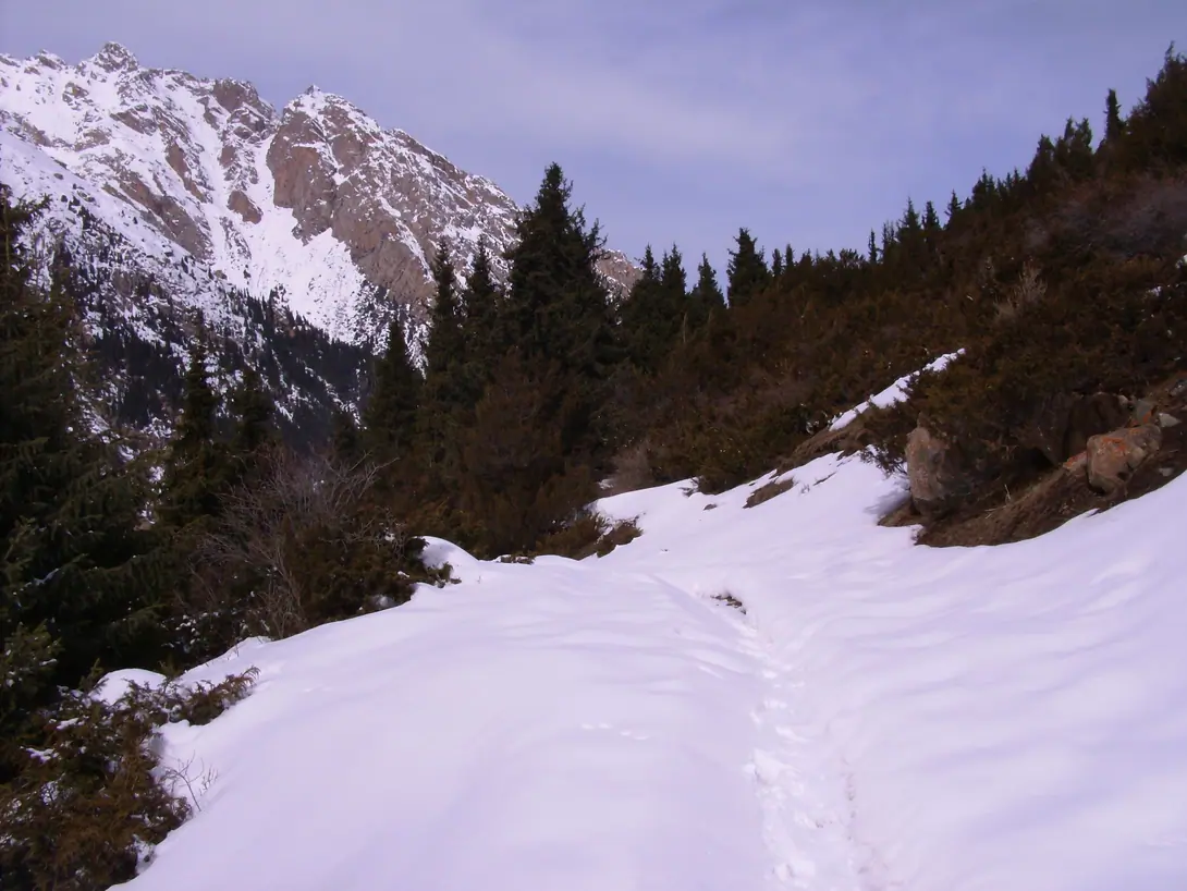
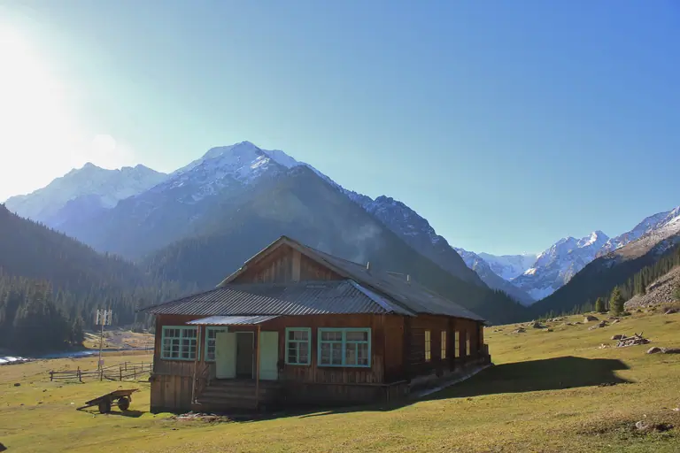
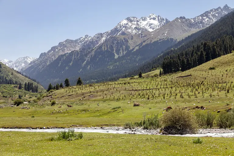
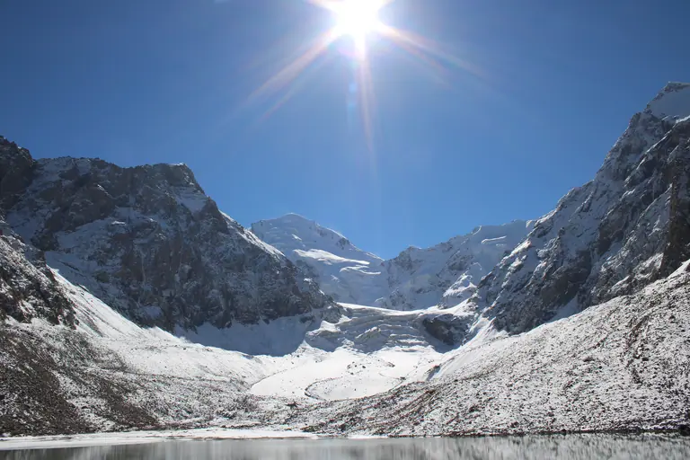
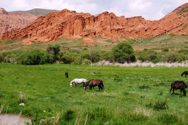
After breakfast, hiking into the direction of the Archa Toer pass. 3860 m. alt. The track is easy on an ancient dirty road made by geologist. One the West side, many cliffs of the Shakiratma mount, on the East side, the relief is less rugged with high pastures. Night and dinner in the same place. (2500 m). During the summer, we can hike till the glacier's lake or into the Aïlama (Aylama, Ailama) gorge, on the foot of 4900 meters alt. peaks.
Visual Journey notes
Along the route
Journey connections
Connect another day
Arriving here
KarakolChong Kyzyl Suu meteo station
Kyzyl SuuChong Kyzyl Suu meteo station
Chong Kyzyl Suu meteo stationChong Kyzyl Suu meteo station
Journey · 1 day
Chong Kyzyl Suu meteo station - Chong Kyzyl Suu meteo station
14 km
Year-Round
Continuing from here
Chong Kyzyl Suu meteo stationChong Kyzyl Suu meteo station
Journey · 1 day
Chong Kyzyl Suu meteo station - Chong Kyzyl Suu meteo station
14 km
Year-Round
Chong Kyzyl Suu meteo stationChong Kyzyl Suu meteo station
Journey · 1 day
Chong Kyzyl Suu meteo station - Chong Kyzyl Suu meteo station
16 km
Year-Round
Chong Kyzyl Suu meteo stationTamga
Roadbook
Add this Journey to your Roadbook
Use this one-day Journey as a building block, then continue from its destination.