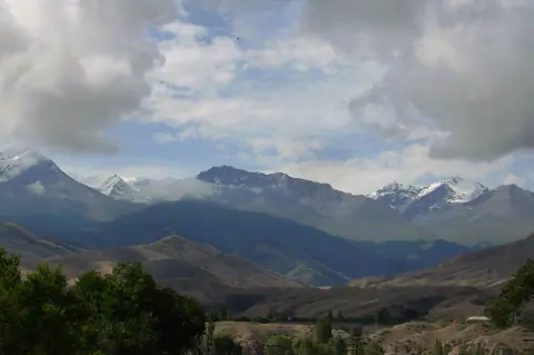
Journey · 1 day
Tamga - Karabatkak geo camp
Transfert to Chong Kyzyl Suu valley and hike to top of forest
TamgaKarabatkak geo camp
- Drive
- 67 km1 hr 30 min
- Walk
- 13 km5 hr
- Season
- April – October
- Meals
- Breakfast · Lunch · Dinner
Journey route
The route
- 01OriginTamga
- 02DestinationKarabatkak geo camp
Journey notes
About this Journey
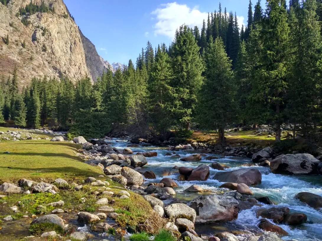
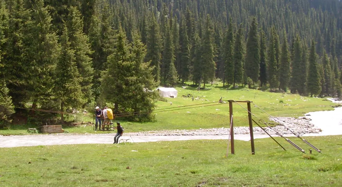
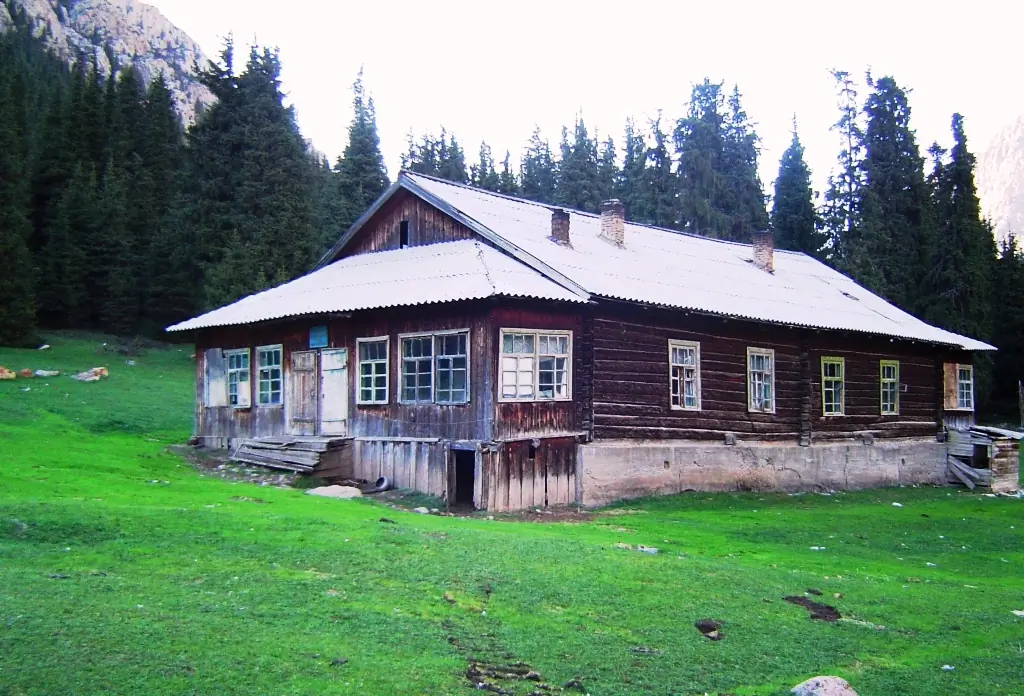
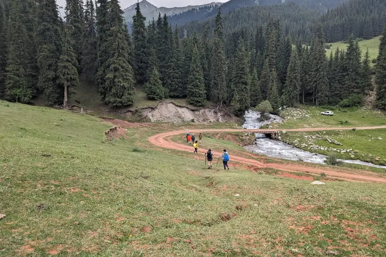
Start on the shores of Lake Issyk Kul to Kyzyl Suu (Red River). Visit the bazaar and transfer to the bottom of the Chong Kyzyl Suu Valley (the big red river). Trekking departure and picnic near hot springs. continued to join the old Chong Kyzyl Suu station and set up camp on the banks of the river Kashka Toer.
Visual Journey notes
Along the route
Journey connections
Connect another day
Arriving here
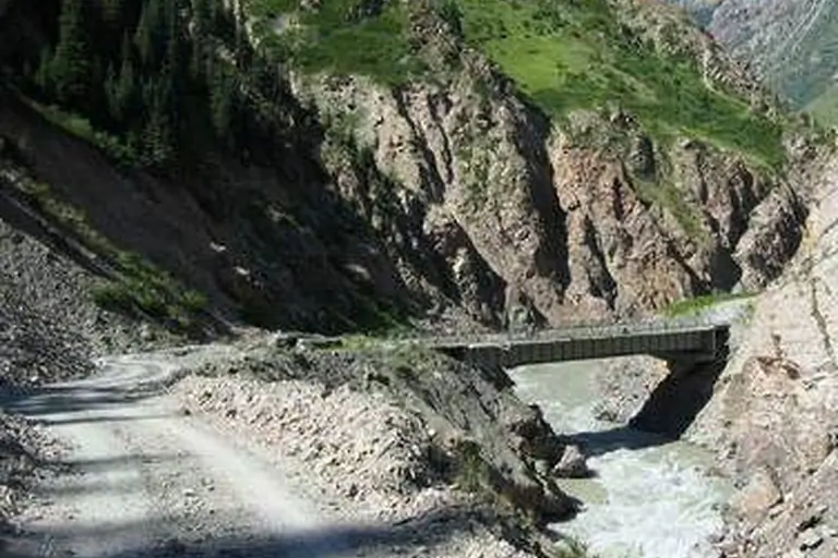
Kichi-Kyzyl-SuuTamga
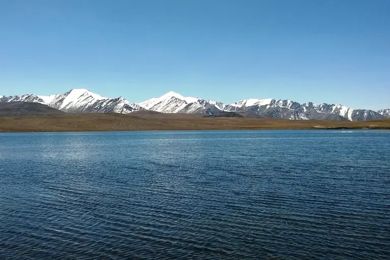
Chong Tash (Juku valley)Tamga
NarynTamga
Continuing from here
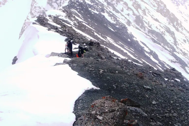
Karabatkak geo campAsan Tukum (Jeti Oguz)
Roadbook
Add this Journey to your Roadbook
Use this one-day Journey as a building block, then continue from its destination.