Question answered Tajikistan
Tajikistan FAQs: before you cross the Pamirs
Visas, GBAO permits, Pamir Highway logistics, border crossings, health, safety, altitude, and the realities of travelling through Tajikistan.
Search covers a limited set of published pages in this staff preview.
Searching…
The update could not be loaded. Your previous results are still shown. Reload these results
10 results Showing 1–10
Question answered Tajikistan
Visas, GBAO permits, Pamir Highway logistics, border crossings, health, safety, altitude, and the realities of travelling through Tajikistan.
Travel advice Tajikistan
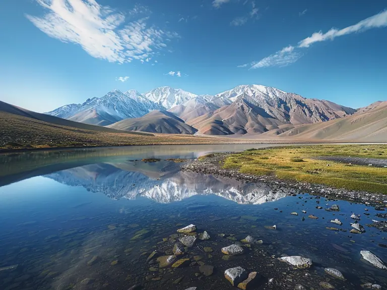
Choose your season by the altitude you are asking for If your trip depends on…Best windowDo not forceNomad’s Land note Pamir Highway and Wakhan ValleyJuly to SeptemberEarly spring optimism or late autumn heroicsThe Pamirs need…
Photo: Periwinkle Luffa, BlueMelon
Travel advice Tajikistan
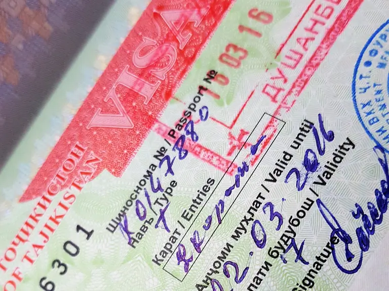
Before you treat this as a rule Use this page as planning context for Tajikistan, not as a final answer for every passport. Entry rules can change by nationality, passport type, purpose of travel, border point, transit route and…
Photo: Nomad's Land
Travel advice Tajikistan
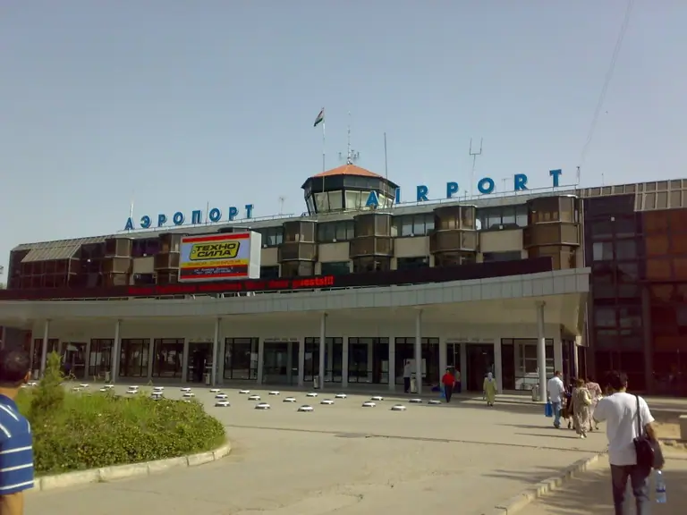
Before you build the route Transport in Tajikistan is not just a timetable. Border opening hours, road surface, weather, permits, flight changes, local holidays and distance can reshape a day on the ground. Use this page for…
Journey
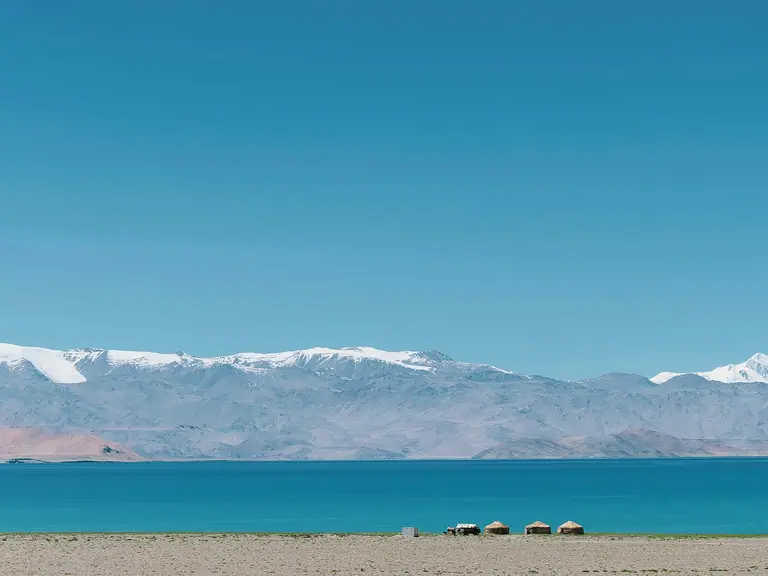
Sary-Mogol village → Murghab
We set off early in the morning from Sary Mogol, as a long and spectacular day of high-altitude travel lies ahead. Heading south, we quickly approach the Kyrgyz-Tajik border, entering the Kizil-Art Pass region at 4,282 meters…
Photo: EJ Wolfson on Unsplash
Journey
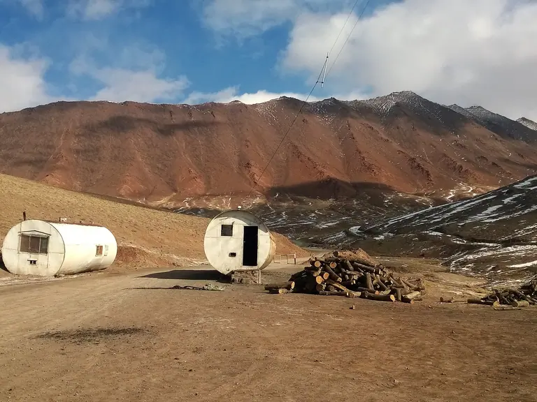
Murghab → Sary-Mogol village
We depart in the morning from Murghab, the windswept heart of the Eastern Pamirs, surrounded by vast plateaus and snow-dusted peaks. As we leave the village, the road climbs gently, then steadily, through a region shaped by…
Journey
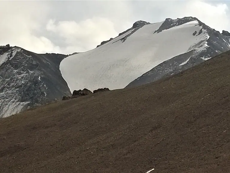
Murghab → Murghab
We will start early in the morning our day trip to Shorkul, Rangkul and Karakul lakes (40-50 km from Murgab). In the morning, we drive to the Chinese border to discover the Shorkul and Rangkul lakes at 3782 meters altitude, the…
Photo: Nomad's Land
Region guide Tajikistan
Gorno-Badakhshan makes Tajikistan’s map physical. Khorog, Murghab, Wakhan, Bartang and the Pamir Highway form a region where rivers, passes, languages, border roads and sparse settlements make every itinerary depend on time,…
Region guide Tajikistan
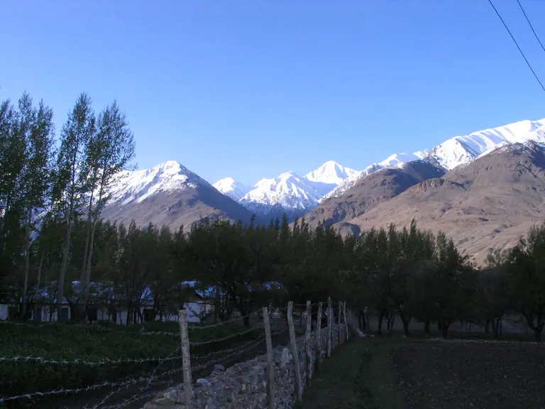
The village of Ishkashim is located in the Panj River valley, between Langar and Khorog, in the highland part of the Pamirs. It lies at an altitude of approximately 2500-2600 m, at the foot of the majestic Saparodzha Peak with a…
Photo: Travelling Runes