Issyk Kul region

Caravanserai of Barskoon

The ruins of an 8th century AD caravanserai are located on the right bank of the River Barskoon, 5 km upstream from the village of Barskoon. The earthen ruins are the bases of a square fortification, 75 metres wide, with walls over 10 metres thick. 

The fortification was located in the valley gorge to control the caravans of goods transported between Lake Issyk Kul and the city of Ak-Suu in China.

Several writings describe the importance of Barskoon on this important Silk Road route.

Barskoon
Kyrgyzstan

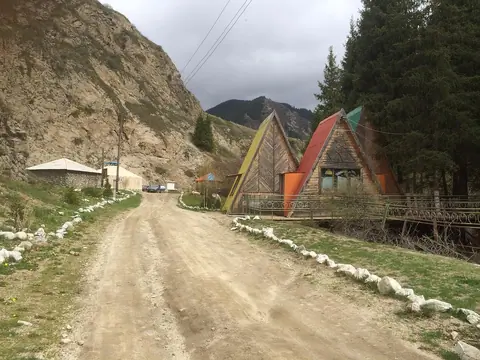
Losted village at the end of the road A364 starting from Barskoon. The linked road from Ak-Shirak village to Enilchek village never was finished. 

Ak-Shirak is now a hamlet, and officially bringing together dozens of farms within a radius of 100 km. 

Geo
Contains

Welcome to the village of Darkan, a unique corner of Kyrgyzstan located in the Darkan rural district. Here you can immerse yourself in the living history of the Kyrgyz people, enjoy traditions and feel the real atmosphere of rural life.
Feel the Spirit of the Kyrgyz Village

Geo
Image
Distrito de Jeti oguz
Height
1080
Width
1440

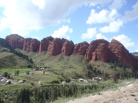
Jety-Oguz is a picturesque valley in Kyrgyzstan, located near the town of Karakol. It attracts tourists with its natural beauty, unique mountain landscapes, crystal clear rivers and historical monuments.
The development of Jeti-Oguz plays a key role in the development of tourism in the region for several reasons:
Natural treasures: The Jeti-Oguz Valley is famous for its beautiful mountains, gorges, waterfalls and lakes. Its unique landscape attracts nature lovers, mountaineers, hikers and photographers.

Geo
Contains

The village of Lipenka is 35 km from the district centre and 25 km from the regional centre. 1800 m from sea level. The nearest airport is 25 km away. Lipenka village council consists of 4 villages: Lipenka with a population of 1803 people, Bogatyrovka 1303, Zeleny Hay 110 and Ichke-Bulun village 1548 people.

Geo

Orgochor village is located 3 km from the district centre, 1784 m from sea level. The total area of the village is 14804 hectares. Orgochor Village Council consists of 4 villages: Orgochor with a population of 2806 people, Bosh-Beshik 1562, Kurgak-Airik 267 and Podgorniy 1049 people. There is a large TV tower at the peak of Orgochor mountain.

Geo
Contains

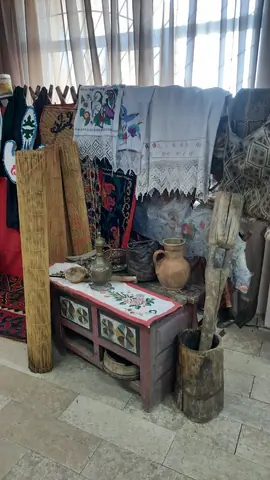
Sadyk Sydykov Museum Historical and Local History Museum.

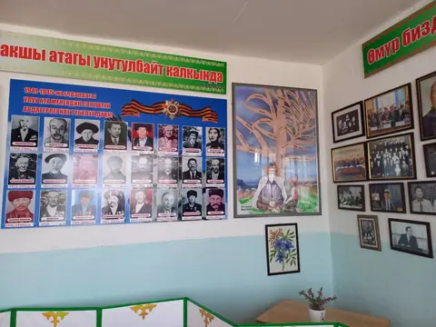
Sadyk Sydykov Museum Historical and Local History Museum. The museum was founded in 2018. There are about 700 exhibits in the museum. The museum is divided into 2. One of them contains information about Saruu village and patriots of Saruu village. On the other two sides there are exhibits of nomads and information about the ancient nomads.

Kyzyl-Suu
Kyrgyzstan

Saruu village consists of three villages: Saruu, Issyk-Kul Sanatorium and Juuku village. All villages are located in a mountainous area, 7 km to the district centre and 36 km to the regional centre. 1800 m from sea level. It is also 180 km from the railway and 360 km from the capital of Kyrgyzstan.
 

The population of Saruu village is 8501, Issyk-Kul sanatorium 374 and Juuku village 60. 

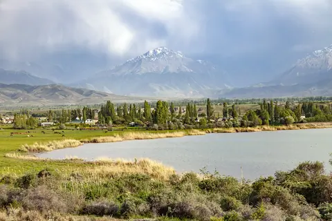
There is a lake Issyk-Kul nearby.

Geo