Peaks

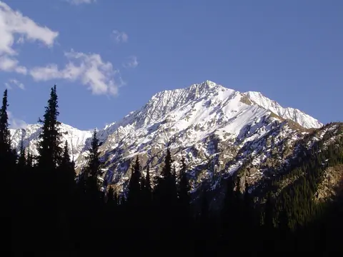
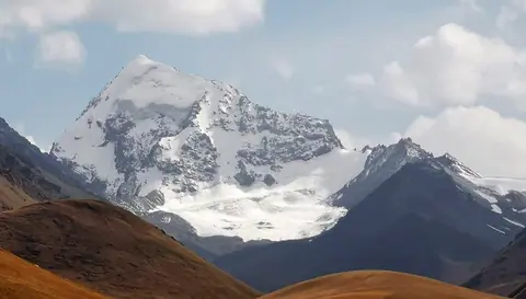
Juku peak

At 4,000 metres, Juku Peak has no glacier but can be seen from afar. It lies between the Jukutchak and Juku valleys, and is the first high peak on the ridge.

Behind it, several peaks follow one another up to 4249 metres and the Ashutor pass at 3636 metres, which links the Ashu-Kashka-Suu gorge with the Jukutchak gorge to the east.

Juku
Kyrgyzstan
Orgochor

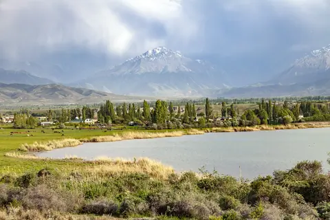
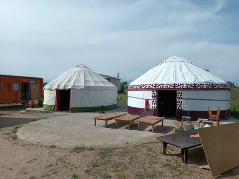
Orgochor village is located 3 km from the district centre, 1784 m from sea level. The total area of the village is 14804 hectares. Orgochor Village Council consists of 4 villages: Orgochor with a population of 2806 people, Bosh-Beshik 1562, Kurgak-Airik 267 and Podgorniy 1049 people. There is a large TV tower at the peak of Orgochor mountain.

Peak Shakiratma

Shakiratma Peak is located in the Chong Kyzyl Suu Valley, in front of the Chong Kyzyl Suu Geophysical Station. 

To climb it, you have to go up the Chong Kyzyl Suu valley from the station, about 5km, into the Keldike gorge. Above the forest, a path runs north to the Shakiratma valley. The easiest way is on the south side of the summit. There is also a beautiful lake to visit.

Juku
Kyrgyzstan

Peak Jeti Oguz

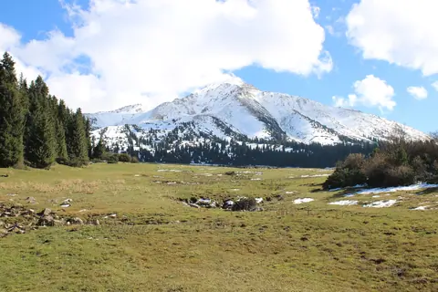
You might think that Jeti Oguz Peak is one of the highest peaks in the Teskei Alatoo, but it is actually one of the first you can see from the Issyk Kul lake side, just east of the Jeti Oguz Sanatorium. The peak resembles a pyramid, a beautiful triangle linking the forest to the snowy summits.

In winter, it stands lonely and can be ascended by ski touring from the yurt camps at Kok Jayik.

Jeti-Ögüz
Kyrgyzstan

Peak Skobelev

Skobelev Peak (Skobolev) is located at 5051 meters above sea level. It is definitely the highest peak in the Alayski Range. Access is easy from Suu Kashka Valley, and the ascent is technically not difficult.

Rakaposhi peak

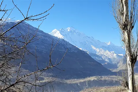
Rakaposhi is a peak in the Karakoram range and the Rakaposhi massif. The Rakaposhi massif is surrounded by the Hunza valley (to the north, west and south) and to the north-east the Minapin valley and its glacier over 12 km long. This 7,788 meter pyramid-shaped mountain lies to the west of Diran peak (7,257 m) and is best seen from Nazirabad village.

Nagar
Pakistan

Diran Peak

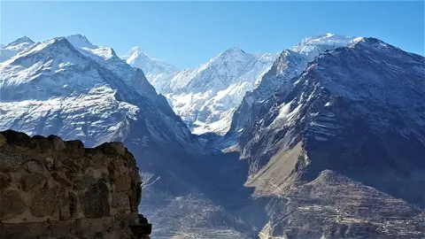
Diran Peak or Minapin Peak is a peak in the Karakoram range and the Rakaposhi massif. The Rakaposhi massif is surrounded by the Hunza valley (to the north, west and south) and to the east the Bagrot valley and its glacier over 22 km long. This 7,257 meter pyramid-shaped mountain lies to the east of Rakaposhi (7,788 m) and is best seen from Baltit Fort.

Diran is nevertheless a very dangerous mountain of Pakistan because its snow and its avalanches are at the origin of many events resulting in hundreds of deaths.

Minapin
Pakistan

Karajylga peak

Karajylga Peak (Karajilga ; Qara Jelga) is a peak in the Vakhan mountain range, marking the border between the Tajik Pamirs and the Afghan Vakhan Corridor. It is the top of three glaciers on the northwest, north, and northeast flanks. The northeast glacier is on Afghan territory while the other 2 are on Tajik territory.

Murgab
Tajikistan

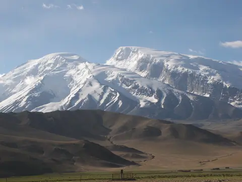
Muztag Ata

Muztagh Ata (75.116272/38.275990) means the father of glacier mountain in local language, one of three most high mountains of the Chines Pamir range (others are the Kongur peak at 7719m, the Kongur Tobe Feng at 7595m). The Muztagh Ata is situated at the altitude of 7546m.The thicknes of glacier is about 100~200 meters, the snow line is at about 5200m.

Tashkurgan
Xinjiang Weiwuerzizhiqu
China