Jalal-Abad Region

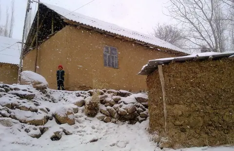
Small village on the South of the Toktogul reservoir. On the foot of the Kök Irim Too and Kaktal Kirka Too ranges. The Sunday market is very authentic.

Geo
Contains

Arslanbob waterfall

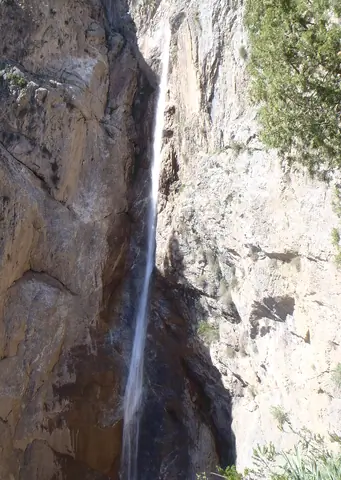
A large waterfall is located north of the village. The waterfall is like a long tongue coming out of a crevice in the rock. This narrow stream of water rushes from a sheer cliff 80 meters high with a breathtaking roar - it truly is an impressive sight!

It is not that easy to access the waterfall, there are rather slippery embankments around the waterfall. The waterfall falls into a hollow. It's hard to see the whole waterfall.

But it is possible to access from the bottom and enter the rift and see yet another waterfall.

Arslanbob
Kyrgyzstan

Sary-Chelek nature reserve

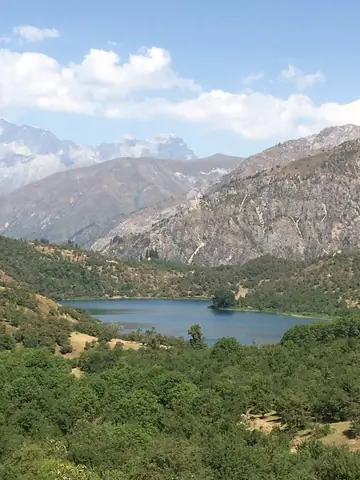
The State Nature Reserve of Sary-Chelek was created in 1959, a biosphere located between the Chatkal and At-Oynok ridges in the Jalal-Abad region, from 1200 to 4247 meters altitude. In 1978 it was declared as a World Biosphere reserve by UNESCO.

The largest lake named also Sary-Chelek is situated at 1874 meters above the sea level, with an area of 470 hectares and a depth of 234 meters.

Arkyt
Kyrgyzstan

Saimaluu-Tash

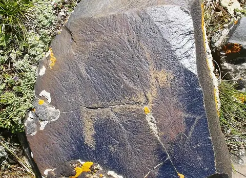
At Saimaluu-Tash there are many rocks of basalt. Paintings were drawn with iron and bronze instruments on the smooth surfaces of basalt, blackened by the sun.

The men scratched the scenes of life, hunting, displacements, ritual dances, different divinities, demonic dances, humanoid creatures with canine heads and hypertrophied arms.

Kazarman
Kyrgyzstan

Shah-Fazil

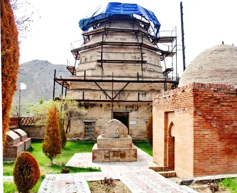
At the bottom of the hill Archa-Mazar and on the Road of the Silk in antiquity and Middle Ages; the sacred complex includes buildings of different chronological periods. The mausoleum of Shah-Fazil occupies the southeast corner and dates from the epoch of the expansion of Islam in the 9th and 10th centuries. He differs from other mausoleums by decoration in unique stucco in Central Asia. In the court, a headstone of phallic form is as found there as they call "the stone of fertility» or Tash-Mazar.

Ala-Buka
Kyrgyzstan

Toktogul water reservoir

The Toktogul hydroelectric power station, built in 1975, is the largest and most important power station in the country, producing up to 40% of its electricity. In addition, the dam of its dam produces a volume of 19 billion cubic meters of water that flows through the largest Toktogul reservoir in Central Asia and governs the irrigation and energy regimes. Visits are prohibited to the public, and entrances are monitored by the military. Access to the dam is from the small town of Kara-Kël (or Karakul, Kara-Kul, Kara-Kol).

Toktogul
Kyrgyzstan

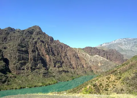
The town of Toktogul is located in the district of Jalal-Abad, Kyrgyzstan, along the dam Toktogul. The Kyrgyz capital, Bishkek, is 280 km north and Osh, the second largest city in Kyrgyzstan, 400km south. Located in west of the chain of the Tian Shan, the Toktogul valley has a long history. Its location along the river Naryn and surrounded by mountains allowed to easily defend against attacks and withstand natural disasters. With its abundant nature, the 7-4 centuries BC, the valley was home on his land Scythian warrior tribes.

Geo

Contains