Jalal-Abad Region

Naryn canyon

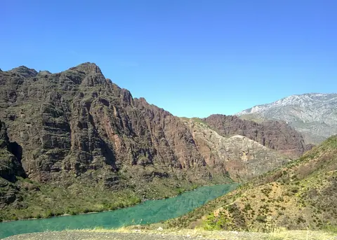
The Naryn River Canyon is located in Jalal Abad Oblast with a length of 85 km. The river flows from Toktogul Lake to the Tashkomur Dam, which is one of the 4 dams in this canyon. The M41 road, from Bishkek to Osh, runs along the river which in Uzbekistan will become the Syr-Darya river.

Toktogul
Kyrgyzstan

Padysh-Ata reserve

The Padysha-Ata Nature Reserve is located on the south-eastern slope of the Chatkal Range, about 30 km southwest of the Sary-Chelek Nature Reserve. The reserve has an area of 306 square km along the Padysha-Ata river and was established in 2003. Access to the reserve is through the town of Kerben in Aksy province of Jalalabad.

Kerben
Kyrgyzstan
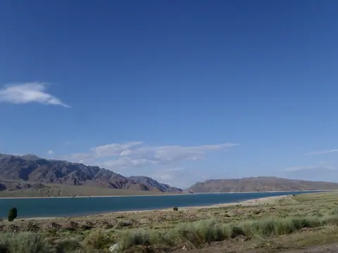
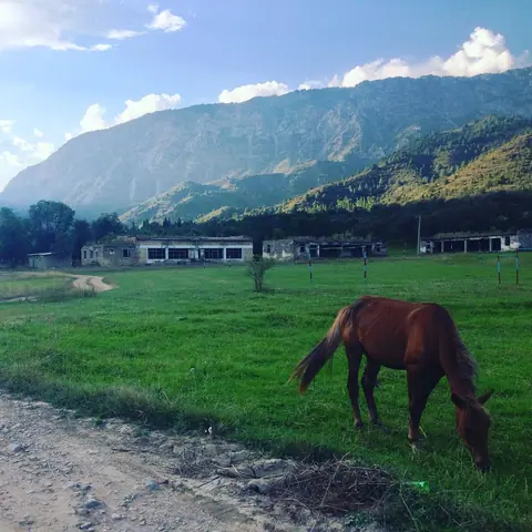
A small town created in the same time that the damp of Toktogul. During the soviet times, the life was rich of plenty commodities. Today, the towm looks a bit losted.

Geo

Kara-Suu lake (South Toktogul reservoir)

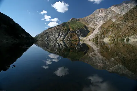
Kara-Suu Lake lies in a beautiful valley on the southern bank of the Naryn River, along the route between Jetigen and Arslanbob villages. It should not be confused with the other Kara-Suu Lake located near Sary-Chelek.

Stretching approximately 6.5 km in length and up to 1.5 km wide, the lake was most likely formed by a massive landslide that blocked the valley. Although a rough dirt road leads to the lake, it is far more enjoyable to reach it on foot or horseback, allowing you to fully appreciate the surrounding landscapes.

Toktogul
Kyrgyzstan

Kara-Kamysh lake (Kara-Suu lake)

Kara-Suu Lake (Kara-Kamysh) lies within the beautiful landscapes of the Sary-Chelek Biosphere Reserve, in a neighboring valley not far from the famous Sary-Chelek Lake. The lake stretches for about 1.3 km and is known locally as Kara-Kamysh, meaning “black reeds,” a name inspired by the dark vegetation growing along its shores. On most topographic maps, however, the lake is labeled Kara-Suu, which translates as “black water.”

Toktogul
Kyrgyzstan

Kazarman is an important village in Toguz-Toro district of Jalal-Abad province, Kyrgyzstan. It is located on the banks of the Naryn River, at an altitude of 1260 m above sea level. The regional center is 145 km from Jalal-Abad on the road to Naryn. It is a stopping place on the long road from Osh to Lake Song Kul or to the Tash Rabat caravanserail. At the beginning of the 20th century, about sixty soldiers from the Russian Empire settled in the village and called their place "Barracks". Later, the locals called it Kazarman.

Geo
Contains

Kara-Suu gorge

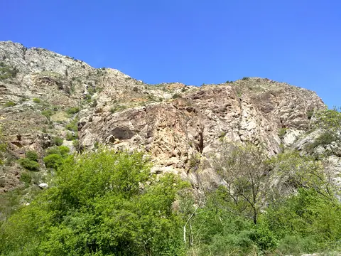
Kara-Suu Gorge forms one of the wild and scenic valleys of the Sary-Chelek Biosphere Reserve. In its upper section, the river is known as the Kyzyl-Suu, which rises at the foot of the impressive Chatkal Range. Here the landscape becomes more rugged, with wide grey cliffs and steep mountain slopes framing the valley.

Kara-Suu village (Sary Chelek)
Kyrgyzstan

Chychkan gorge

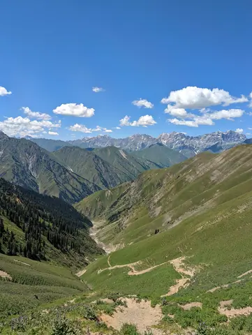
A 50 km gorge located north of Toktogul town on the M41 road. We stop there to eat trout or buy honey. The upper part is covered with meadow, while the lower part of the gorge is more humid and covered with deciduous and fir trees.

Chychkan
Kyrgyzstan

Ala-Bel pass

The pass of Ala-Bel is one of main "control points" on the highway Bishkek-Osh. He is located at the height of 3175 m above sea level on the Talas Ala-Too. The pass Chychkan connects the Suusamyrsky valley and the valley. Rise and descent from the pass rather flat.

Toktogul
Kyrgyzstan