Image
Height
1600
Width
2400
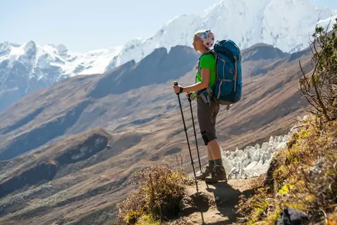
Stride through diverse landscapes, from the rugged trails of the Tian Shan to the mystical paths of the Gobi Desert. Hiking in Central Asia is a journey through the heart of nature, offering both physical challenges and spiritual encounters.
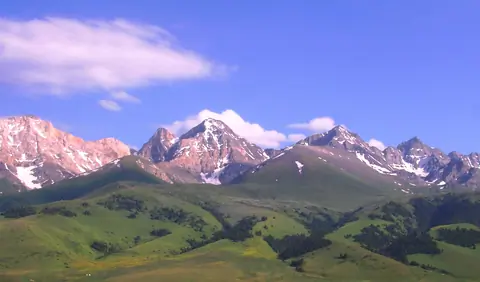
The At-Bashi Range is 135km long and culminates at 4,801 meters. It stretches from the southwest, from the Muz-Tor valley and the Tuz-Bel Ashuu pass, to the northeast to Bosogo and the Kayindi pass. North of the chain is the At-Bashi Valley at an average altitude of 2,500 meters. North side, the slopes are steep and covered with rich vegetation. On the south side, the plain of Ak-Say is at an average altitude of 3200 meters. The highest peak is the Rhianydd at 4,801 meters. The At-Basi peak rises to 4788 meters and is the second highest in the chain.
At-Bashi
Kyrgyzstan
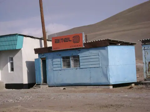
Suusamyr village is located in the picturesque Suusamyr valley, among the majestic Tien Shan mountains in Kyrgyzstan. This place, bathed in clean mountain air and surrounded by green pastures, attracts with its natural beauty and cultural heritage.
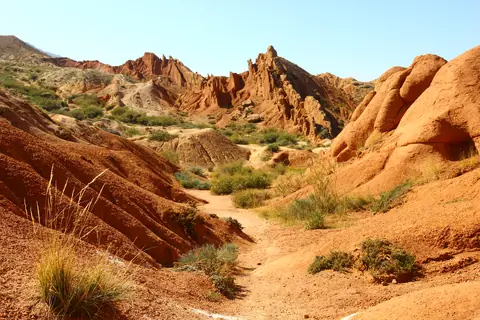
The canyon was named because of its bizarre rocky landscape, which for many years has been transformed by erosion into amazing sculptures and formations. Some formations look like The Great Wall of China and you can also find other formations that look like snakes, dragons, sleeping giants and even whole castles. From the canyon you can see a majestic panorama of Lake Issyk-Kul and snow caped mountains. It’s an excellent destination for children and adults because it’s an easy hike close to Lake Issyk-Kul.
Tosor
Kyrgyzstan
There are two lakes, 1,2 km long and a lower lake 340 meters long. They are part of the Terskey Alatoo and the Issyk Kul oblast, even if the river flow into the Naryn bassin. It's situated near a popular local place names Jilu Suu (Jeli Suu) and its hot sources. From hot spring, you may count one day to hike there and back. It's also part of a trek between the valley of Karagoman till Jilu Suu through these lakes. Long time ago, these lakes were created after the retreat of the glacier Kelter (Köl Toer) which culminates at 4478 meters altitude.
Jeti-Ögüz
Kyrgyzstan
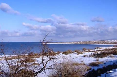
Tosor is a small village located on the southern shore of Lake Issyk-Kul in Kyrgyzstan. This place attracts the attention of both tourists and researchers due to its unique natural and cultural features.
Tosor is located on the southern side of the famous Issyk-Kul Lake, one of the largest and deepest lakes in the world. The lake is famous for its crystal clear waters and beautiful scenery. The mountains surrounding the lake create magnificent views and provide opportunities for various outdoor activities such as hiking and mountaineering.
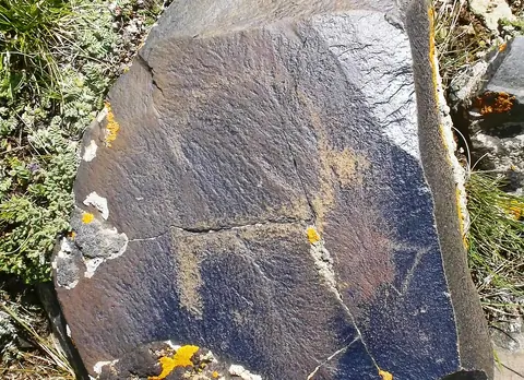
At Saimaluu-Tash there are many rocks of basalt. Paintings were drawn with iron and bronze instruments on the smooth surfaces of basalt, blackened by the sun.
The men scratched the scenes of life, hunting, displacements, ritual dances, different divinities, demonic dances, humanoid creatures with canine heads and hypertrophied arms.
Kazarman
Kyrgyzstan

Explore the captivating Kyrgyz Creek Canyon, starting from the iconic "Red Bridge" train bridge. The canyon, carved by the Kurgan Terek River, features stunning red rock formations.
The hike to the red part of the canyon takes about an hour, following a narrow path along the river where you'll occasionally need to walk in the water. It's advisable to avoid this hike during or after rain due to potential hazards. After an hour, the canyon opens up to reveal magnificent red towers reminiscent of the Creek Canyon.
Kyzyl-Oy
Kyrgyzstan
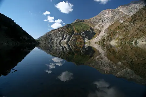
Kara-Suu Lake lies in a beautiful valley on the southern bank of the Naryn River, along the route between Jetigen and Arslanbob villages. It should not be confused with the other Kara-Suu Lake located near Sary-Chelek.
Stretching approximately 6.5 km in length and up to 1.5 km wide, the lake was most likely formed by a massive landslide that blocked the valley. Although a rough dirt road leads to the lake, it is far more enjoyable to reach it on foot or horseback, allowing you to fully appreciate the surrounding landscapes.
Toktogul
Kyrgyzstan
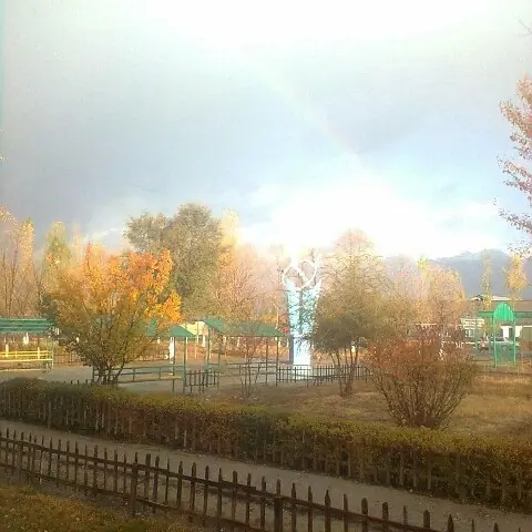
Kazarman is an important village in Toguz-Toro district of Jalal-Abad province, Kyrgyzstan. It is located on the banks of the Naryn River, at an altitude of 1260 m above sea level. The regional center is 145 km from Jalal-Abad on the road to Naryn. It is a stopping place on the long road from Osh to Lake Song Kul or to the Tash Rabat caravanserail. At the beginning of the 20th century, about sixty soldiers from the Russian Empire settled in the village and called their place "Barracks". Later, the locals called it Kazarman.

Kara-Suu Lake (Kara-Kamysh) lies within the beautiful landscapes of the Sary-Chelek Biosphere Reserve, in a neighboring valley not far from the famous Sary-Chelek Lake. The lake stretches for about 1.3 km and is known locally as Kara-Kamysh, meaning “black reeds,” a name inspired by the dark vegetation growing along its shores. On most topographic maps, however, the lake is labeled Kara-Suu, which translates as “black water.”
Toktogul
Kyrgyzstan