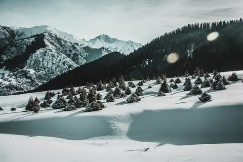
Journey · 1 day
Ak-Tash (Chong Kyzyl Suu valley) - Chong Kyzyl Suu meteo station
Ak Tash (Chong Kyzyl Suu) - Chong Kyzyl Suu (meteo station)
Ak-Tash (Chong Kyzyl Suu valley)Chong Kyzyl Suu meteo station
- Walk
- 8 km3 hr
- Season
- Year-Round
- Meals
- Breakfast · Lunch · Dinner
- Elevation gain
- 400 m
Journey route
The route
- 01
- 02DestinationChong Kyzyl Suu meteo station
Journey notes
About this Journey
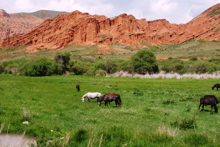
Today we hike only 8 km to the geophysical and meteo station, on the way stop at hot springs water. We will arrive early to the refuge. Free time for walking around the station or into the Ashu Tor valley. Night in refuge (2550m).
Visual Journey notes
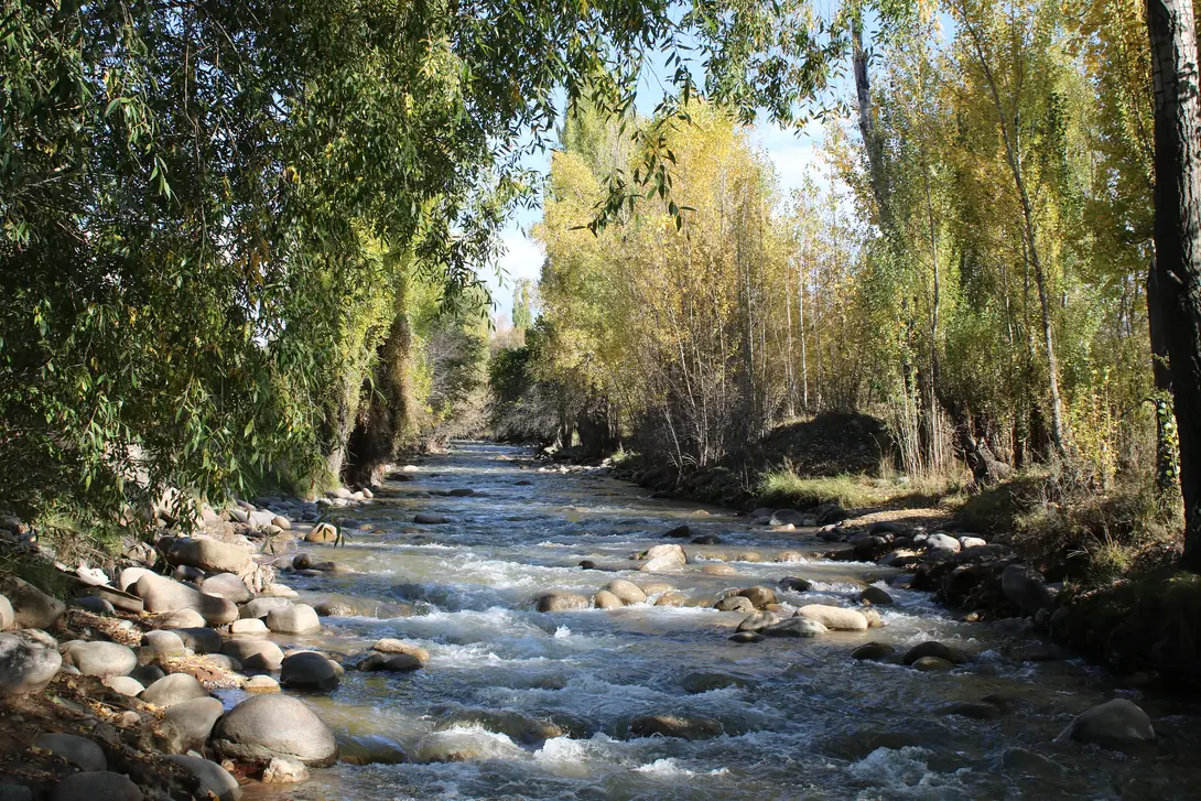
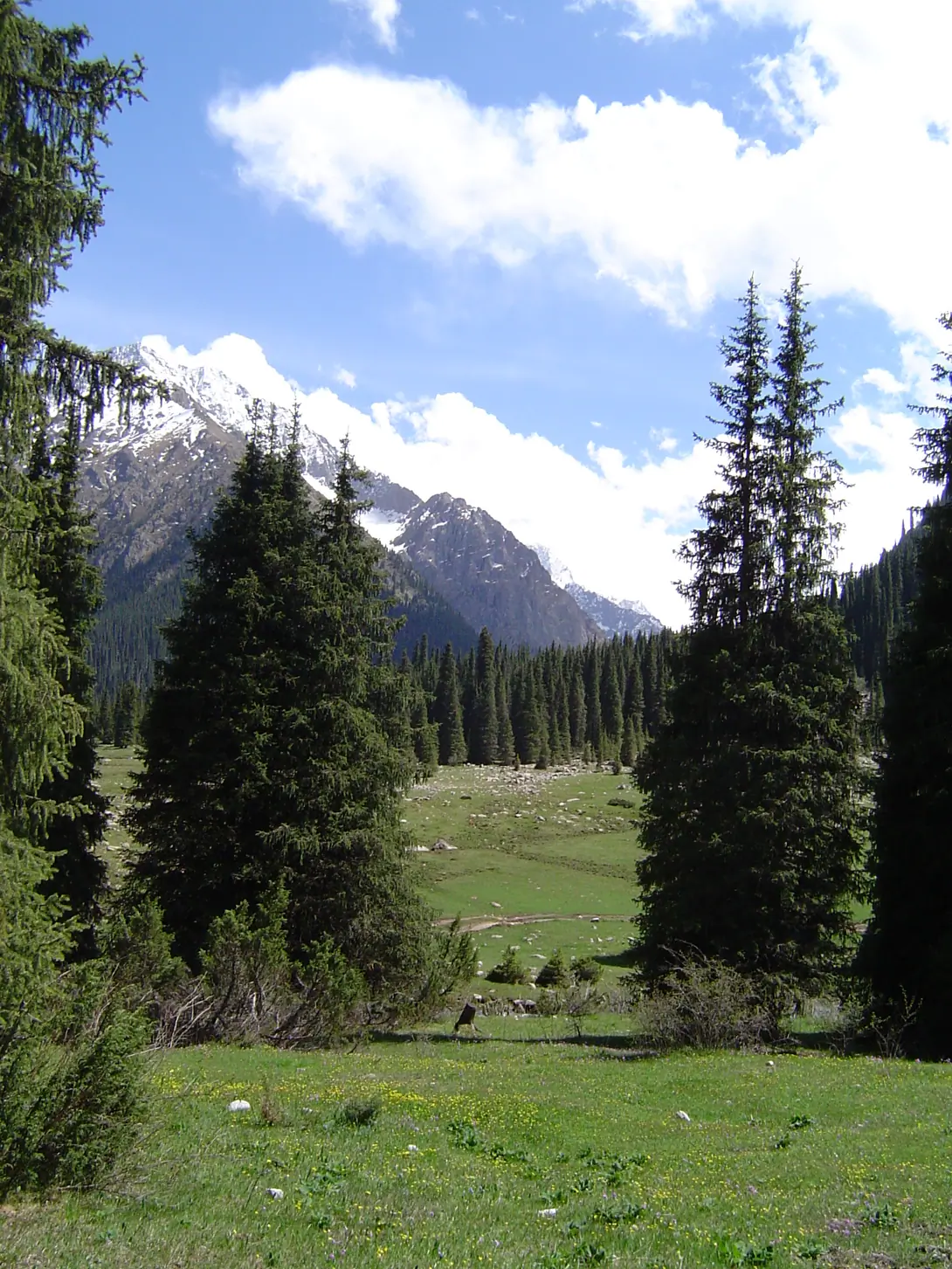
Along the route
Journey connections
Connect another day
Arriving here
Jeti Oguz valleyAk-Tash (Chong Kyzyl Suu valley)
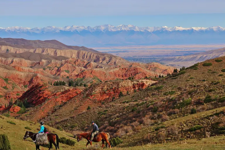
Jeti Oguz sanatoriumAk-Tash (Chong Kyzyl Suu valley)
Journey · 1 day
Jeti Oguz sanatorium - Ak-Tash (Chong Kyzyl Suu valley)
16 km
Year-Round
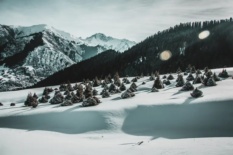
Ak-Tash (Chong Kyzyl Suu valley)Ak-Tash (Chong Kyzyl Suu valley)
Journey · 1 day
Ak-Tash (Chong Kyzyl Suu valley) - Ak-Tash (Chong Kyzyl Suu valley)
4 km
12 km
winter
Continuing from here
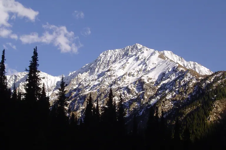
Chong Kyzyl Suu meteo stationChong Kyzyl Suu meteo station
Journey · 1 day
Chong Kyzyl Suu meteo station - Chong Kyzyl Suu meteo station
10 km
Year-Round
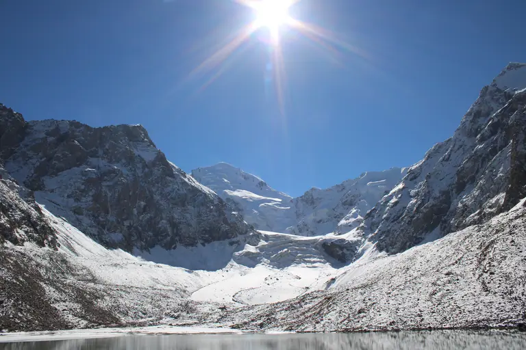
Chong Kyzyl Suu meteo stationChong Kyzyl Suu meteo station
Journey · 1 day
Chong Kyzyl Suu meteo station - Chong Kyzyl Suu meteo station
14 km
Year-Round
Chong Kyzyl Suu meteo stationChong Kyzyl Suu meteo station
Journey · 1 day
Chong Kyzyl Suu meteo station - Chong Kyzyl Suu meteo station
16 km
Year-Round
Roadbook
Add this Journey to your Roadbook
Use this one-day Journey as a building block, then continue from its destination.